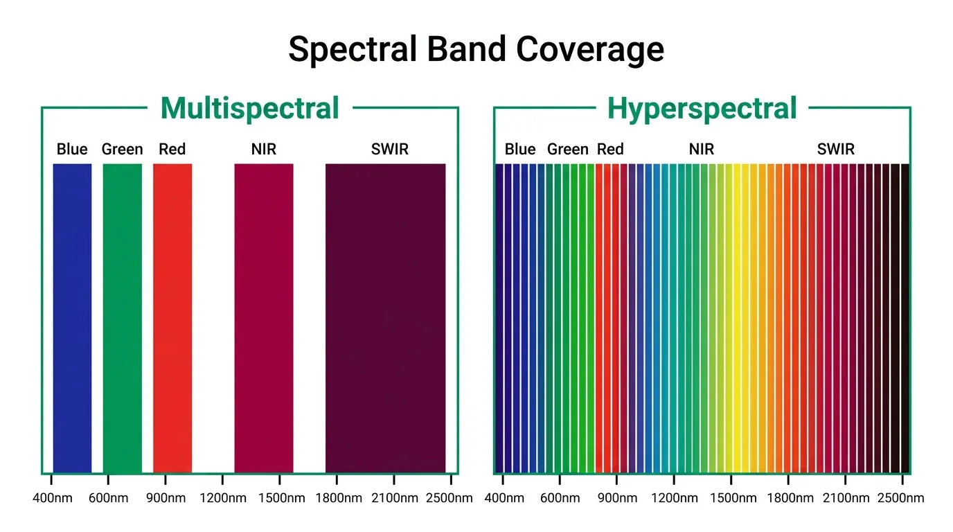
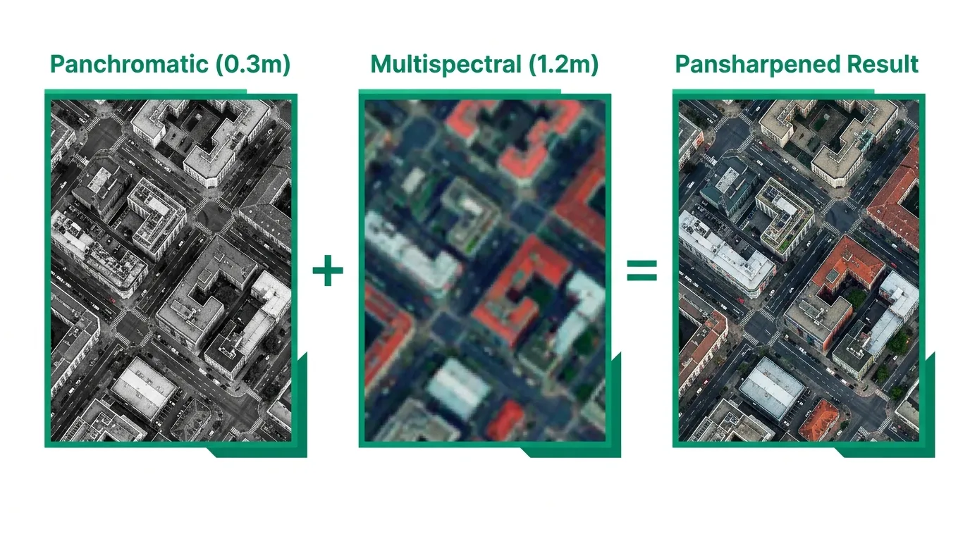
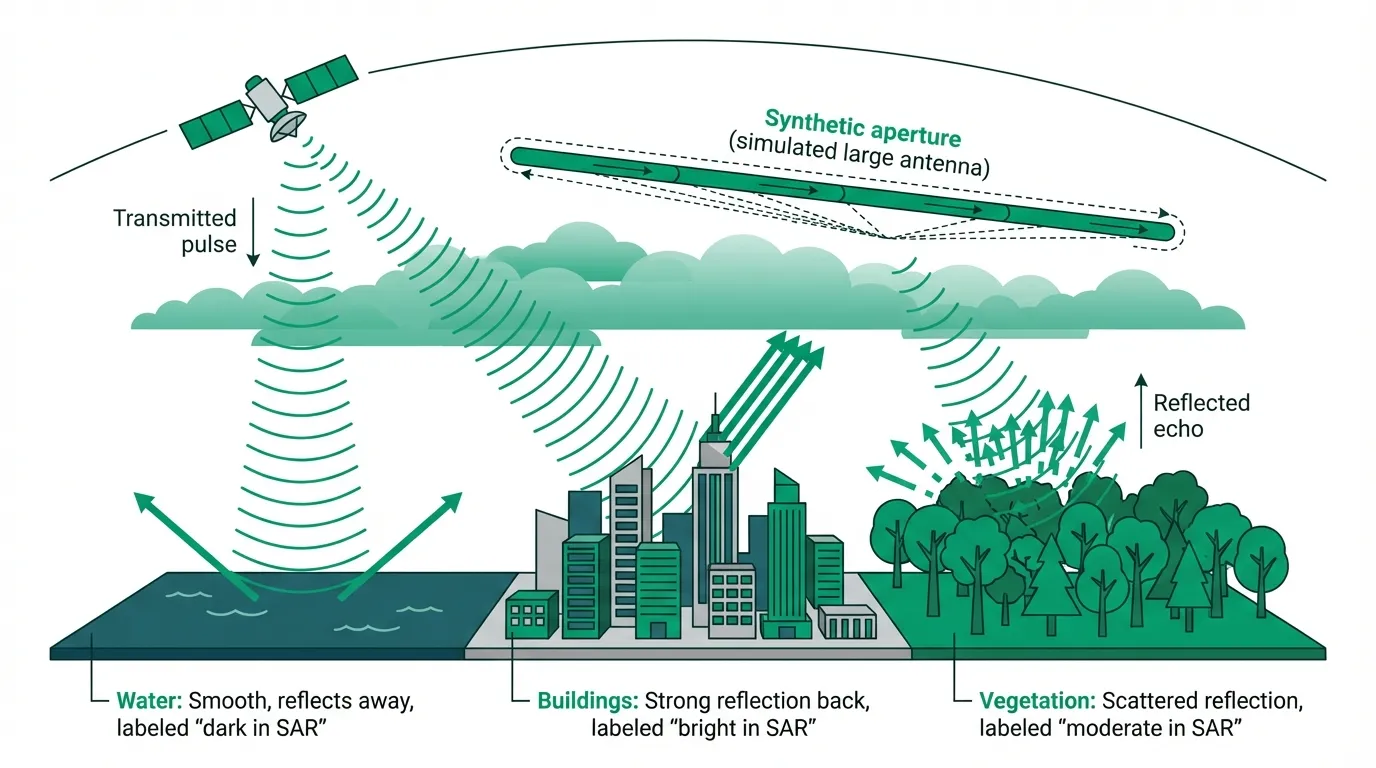
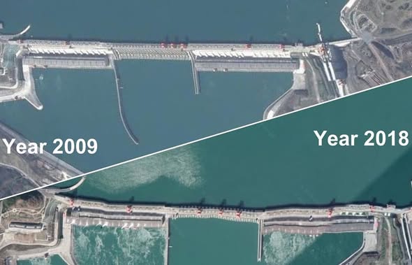
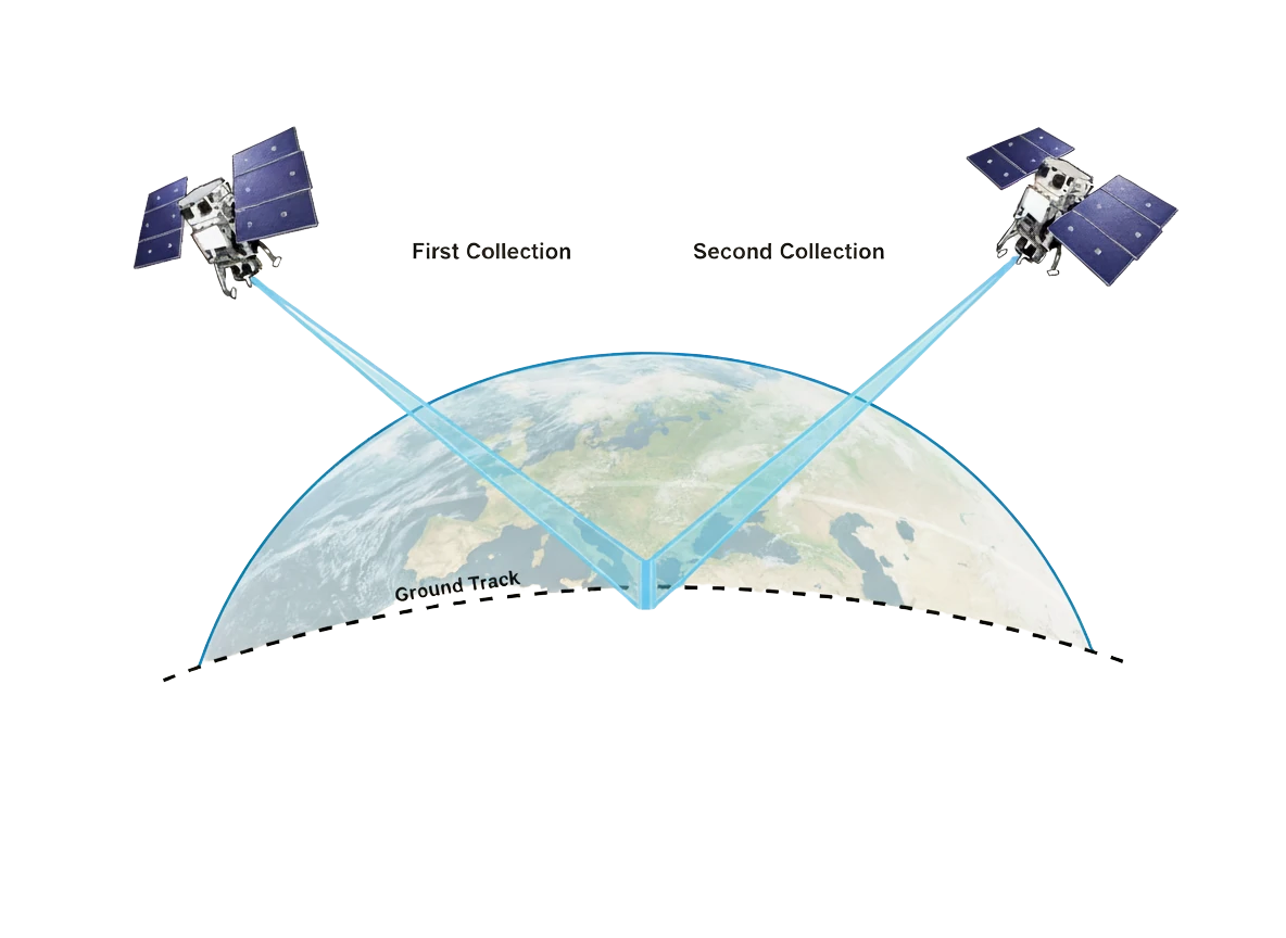
Remote Sensing That Time Everyone Thought the Three Gorges Dam Was Collapsing Due to an Orthorectification Error Nov 19, 2025
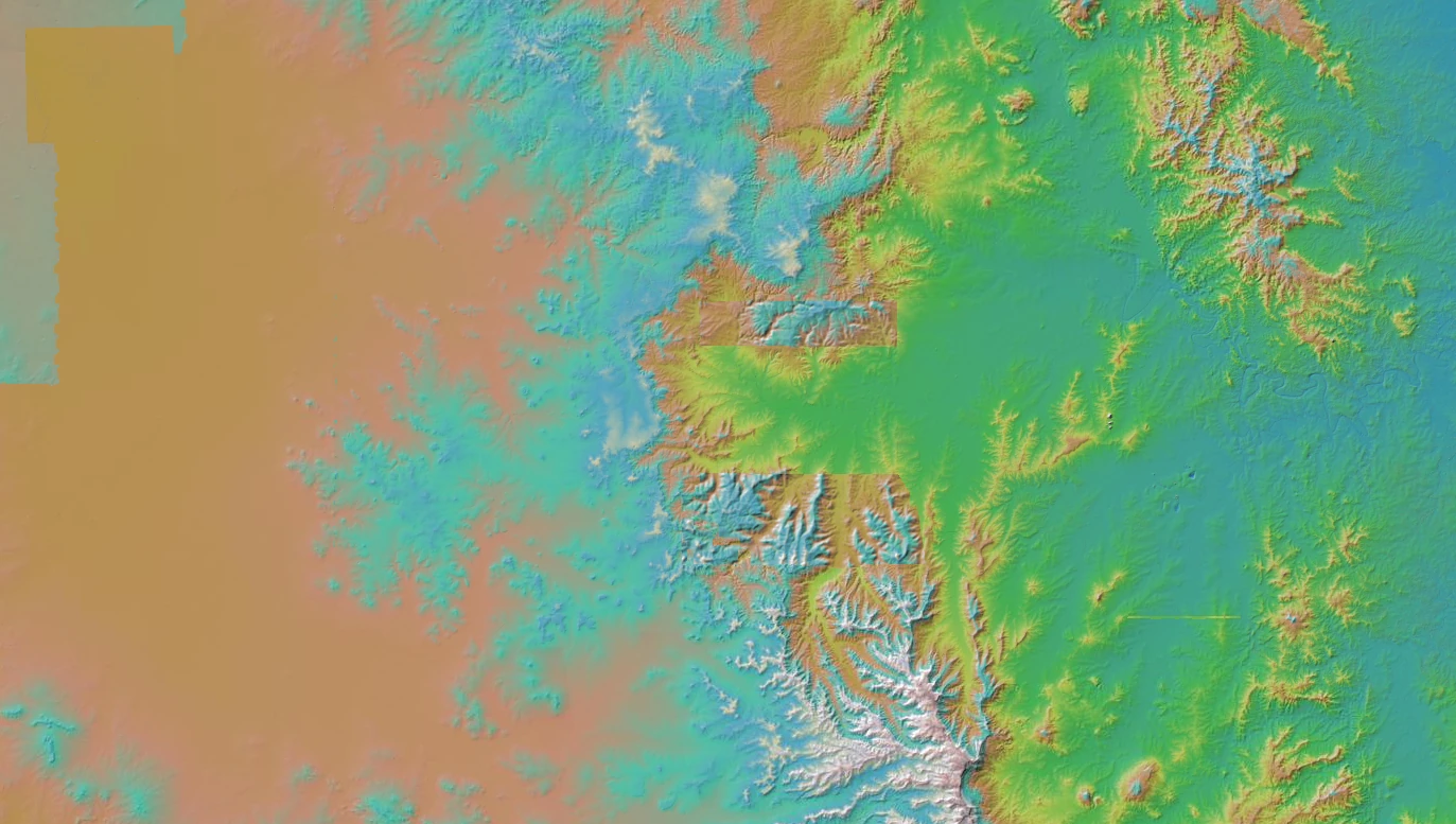
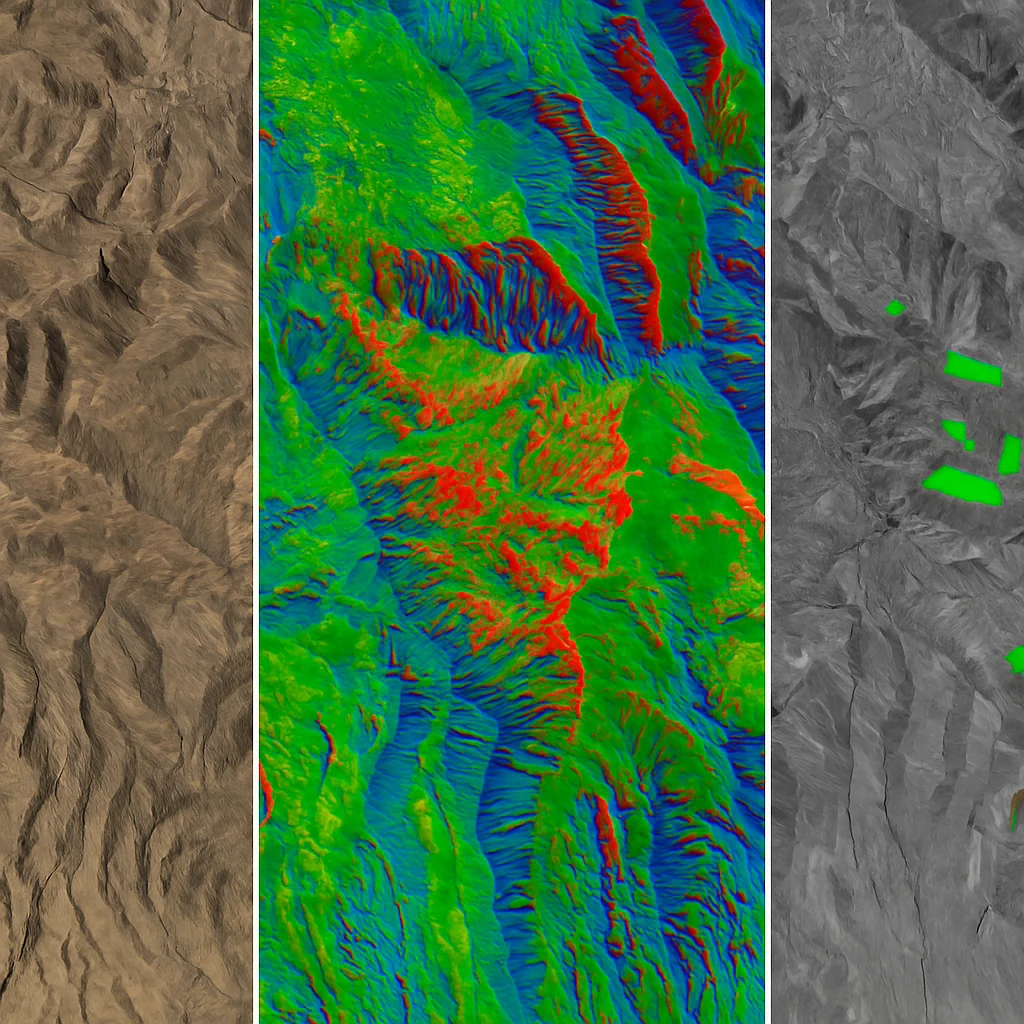
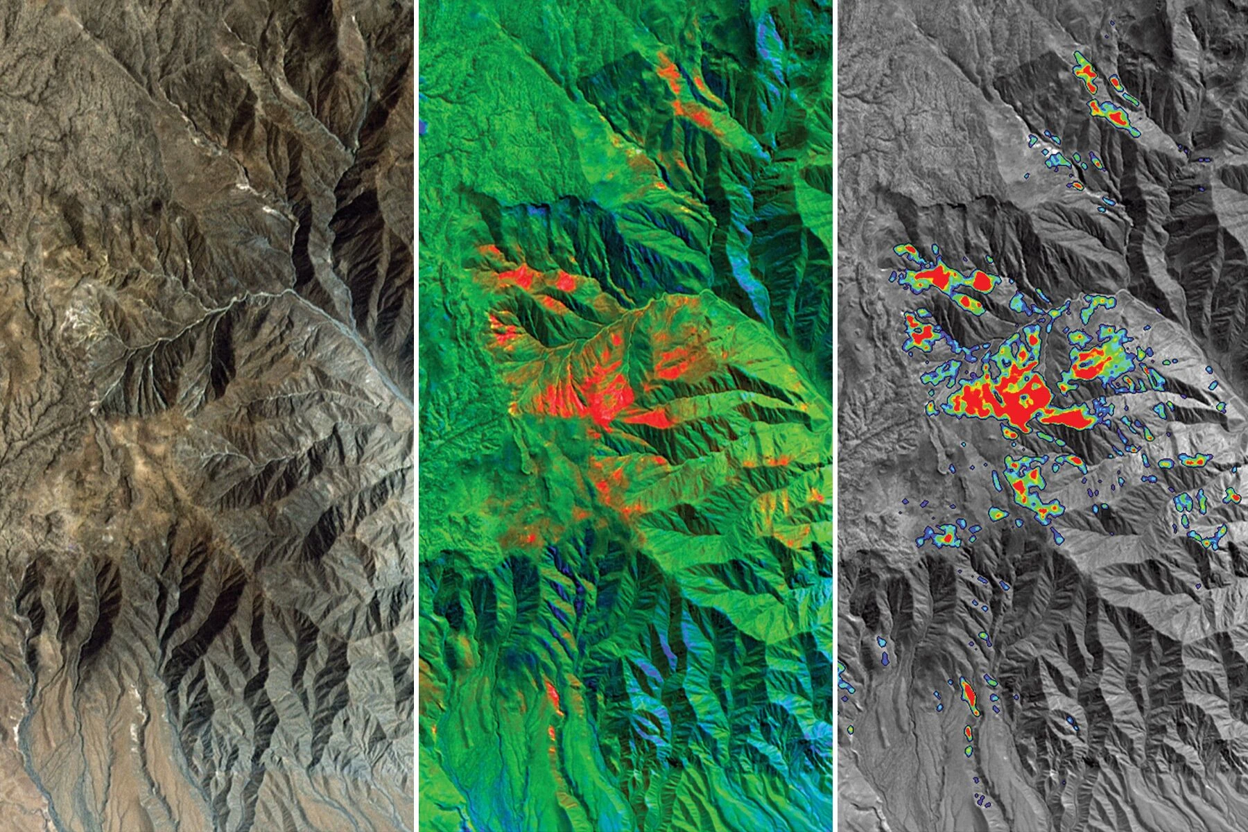
Remote Sensing Understanding DEMs, DSMs, and DTMs: A Complete Guide to Digital Elevation Data Oct 23, 2025
Industry News Maxar Rebrand: Vantor and Lanteris Replace Maxar Intelligence and Space Systems Oct 2, 2025
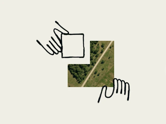
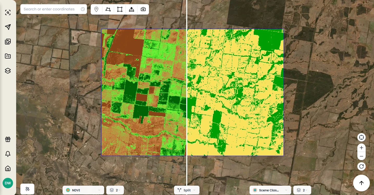
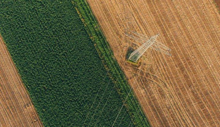
Product Updates Instant NDVI in Browser, Capture Notifications, and More Updates to the Pera Portal Jul 14, 2025