Satellite Imagery
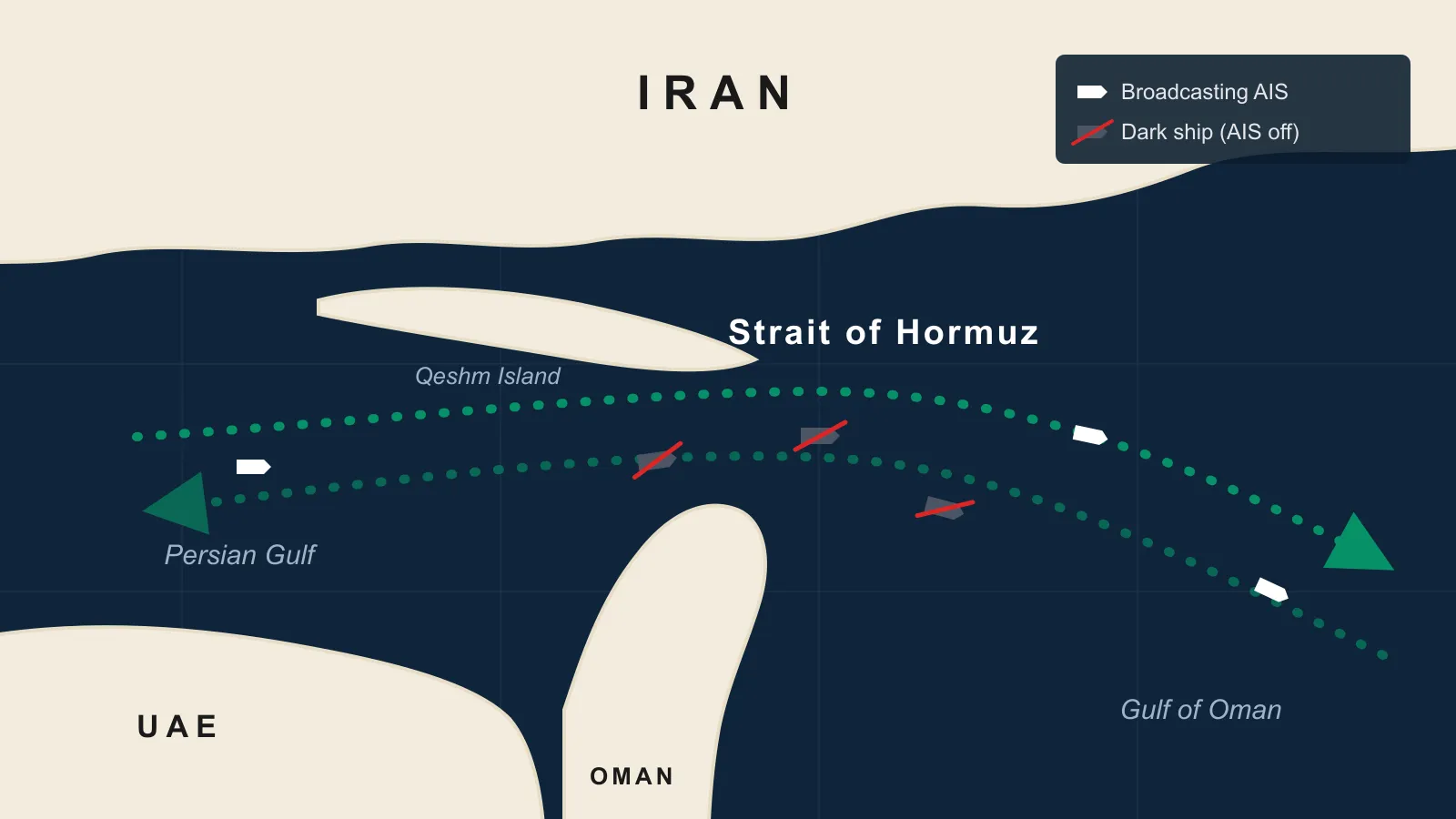
Strait of Hormuz Satellite Imagery: Tracking Ships Gone Dark
Jul 21, 2026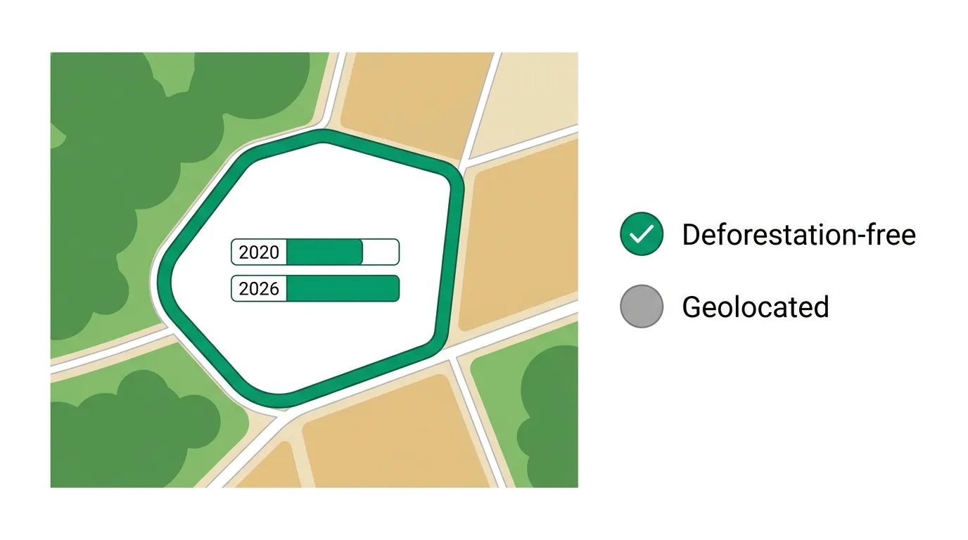
EUDR Compliance: How Satellite Imagery Provides Proof
Jun 16, 2026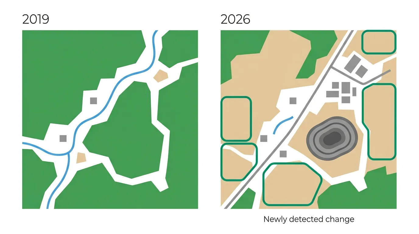
Satellite Change Detection: How to Track Change Over Time
Jun 16, 2026
As 10 Melhores Fontes Gratuitas de Imagens de Satélite do Brasil
Jun 11, 2026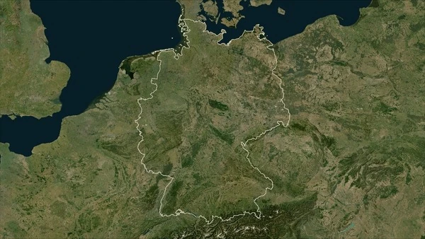
Die 10 besten kostenlosen Quellen für Satellitenbilder in Deutschland
Jun 11, 2026
What is Atmospheric Correction in Satellite Imagery?
May 26, 2026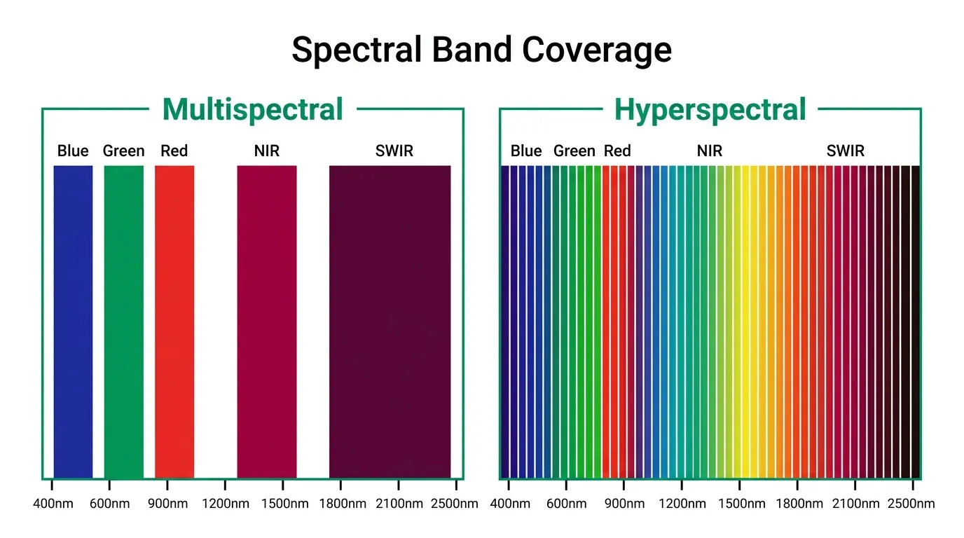
Multispectral vs Hyperspectral Satellite Imagery Explained
Mar 24, 2026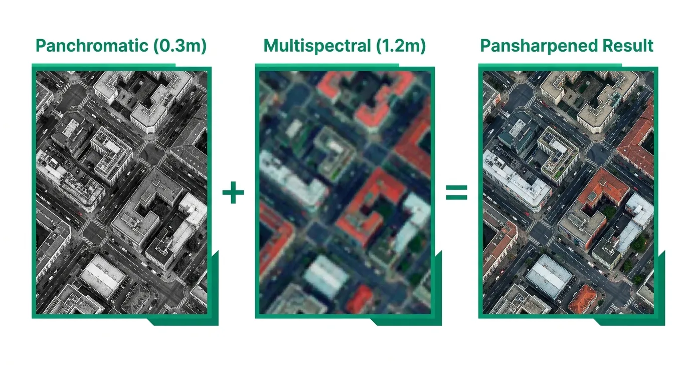
What is Pansharpening in Satellite Imagery?
Mar 24, 2026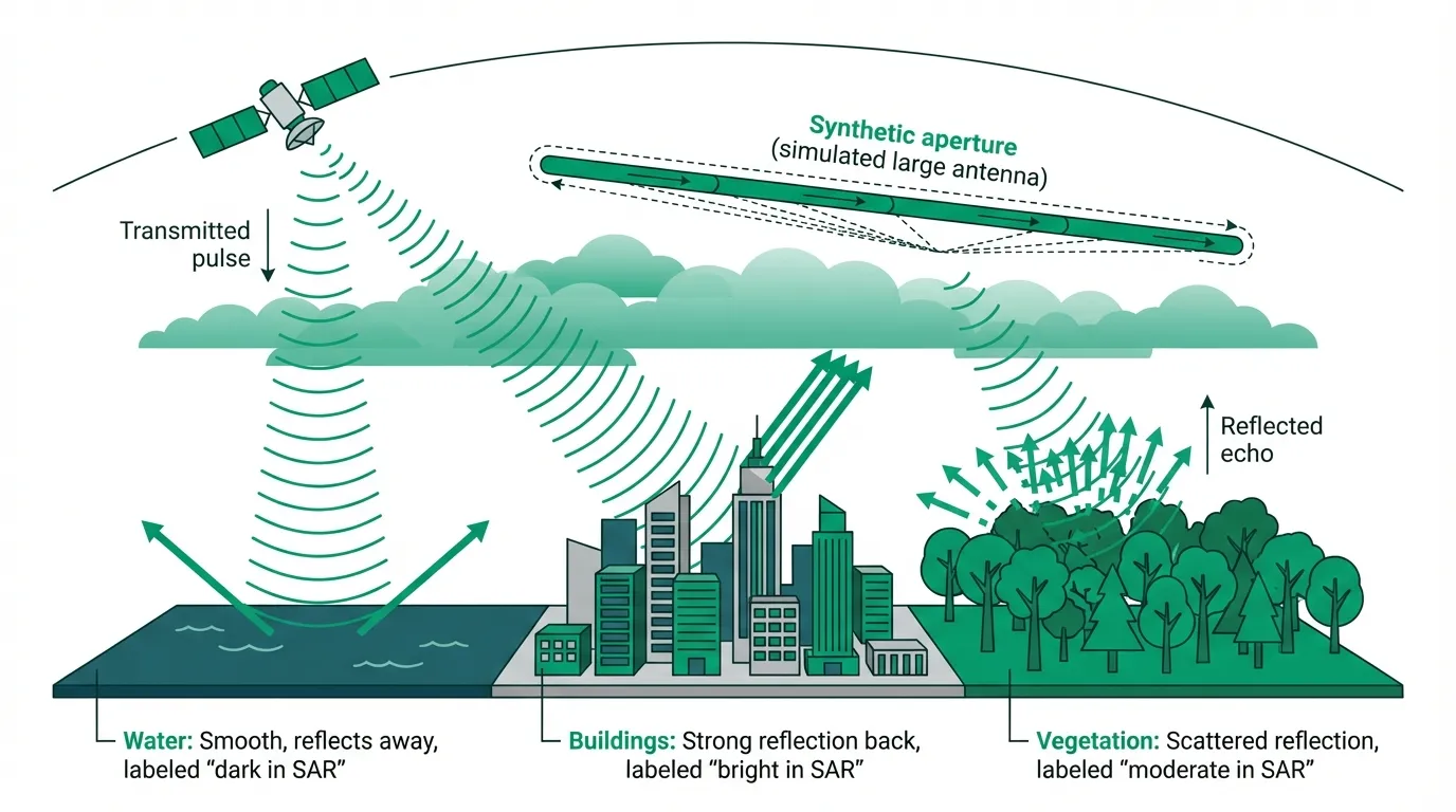
What is SAR Satellite Imagery? How Radar Sees What Optical Can't
Mar 17, 2026 10 Best Free Sources of Satellite Data for Brazil
Oct 29, 2025 10 Best Free Sources of Satellite Data for Germany
Oct 28, 2025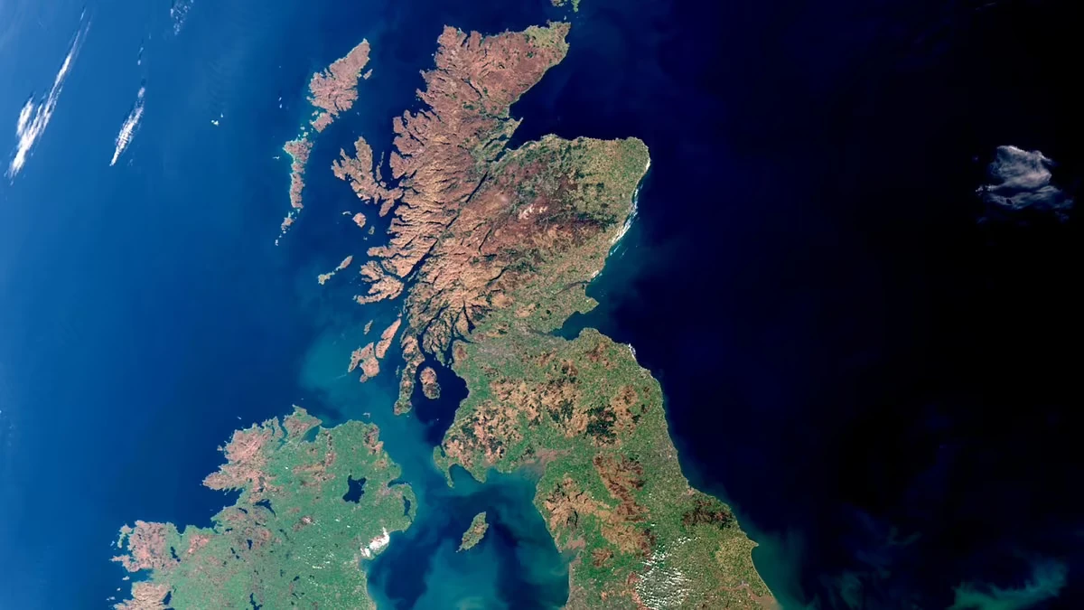
10 Best Free Sources of Satellite Data for the UK
Oct 27, 2025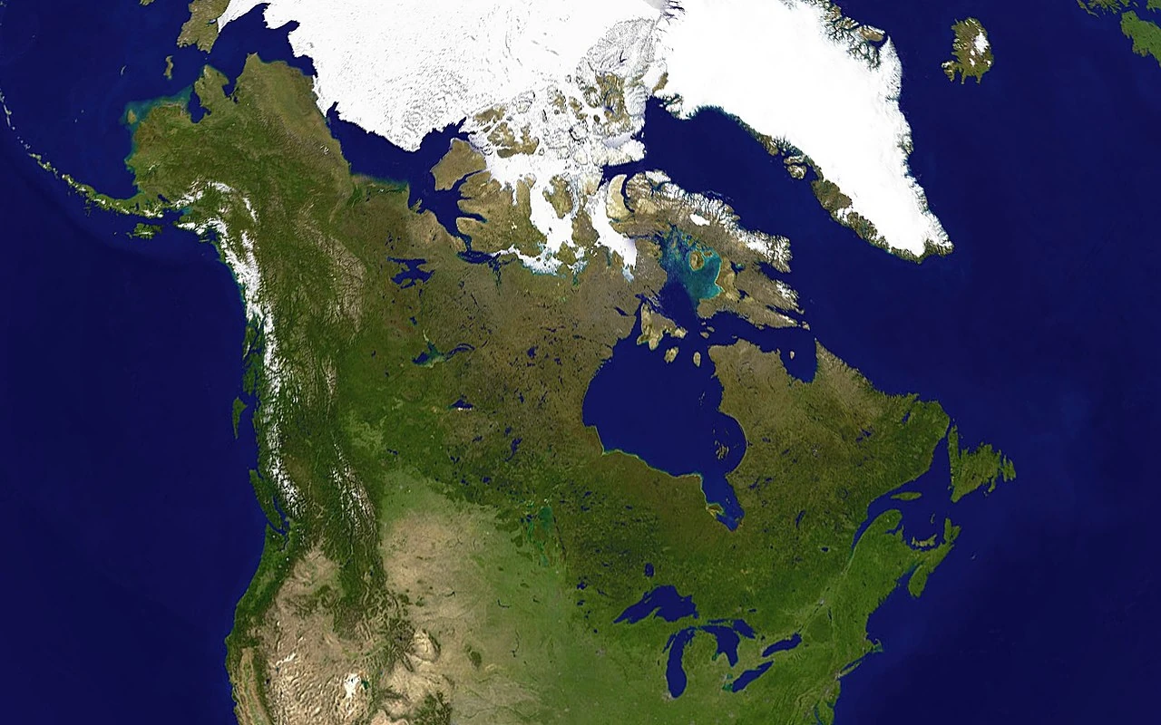
10 Best Free Sources of Satellite Data for Canada
Oct 26, 2025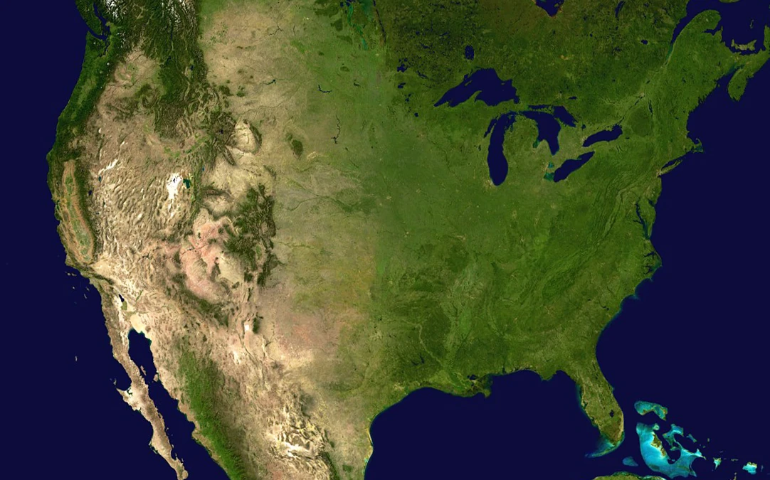
10 Best Free Sources of Satellite Data for the USA
Oct 25, 2025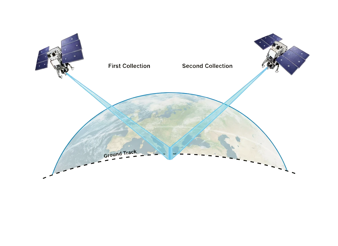
Understanding Stereoscopic Satellite Imagery: From Capture to DEM
Oct 14, 2025
Maxar Rebrand: Vantor and Lanteris Replace Maxar Intelligence and Space Systems
Oct 2, 2025
What You Should Know About Optical Satellite Imagery
Sep 24, 2025
Orthorectification: Turning Raw Satellite Data Into Map-Ready Imagery
Sep 17, 2025
Satellite Tasking Explained - A Practical Guide
Apr 6, 2025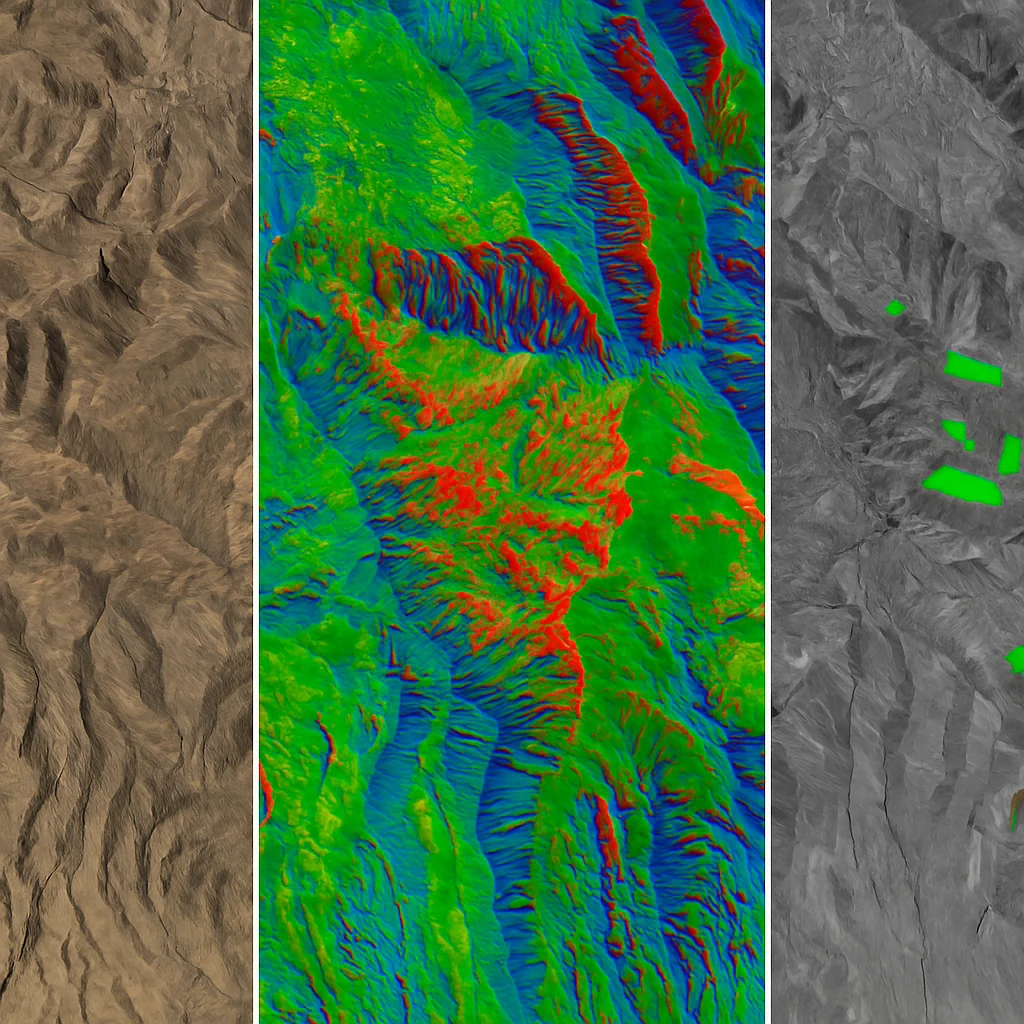
The Best Satellite Imagery for Every Application - A Complete Guide
Apr 1, 2025
Google Earth vs Commercial Satellite Imagery: Understanding Your Options
Nov 22, 2024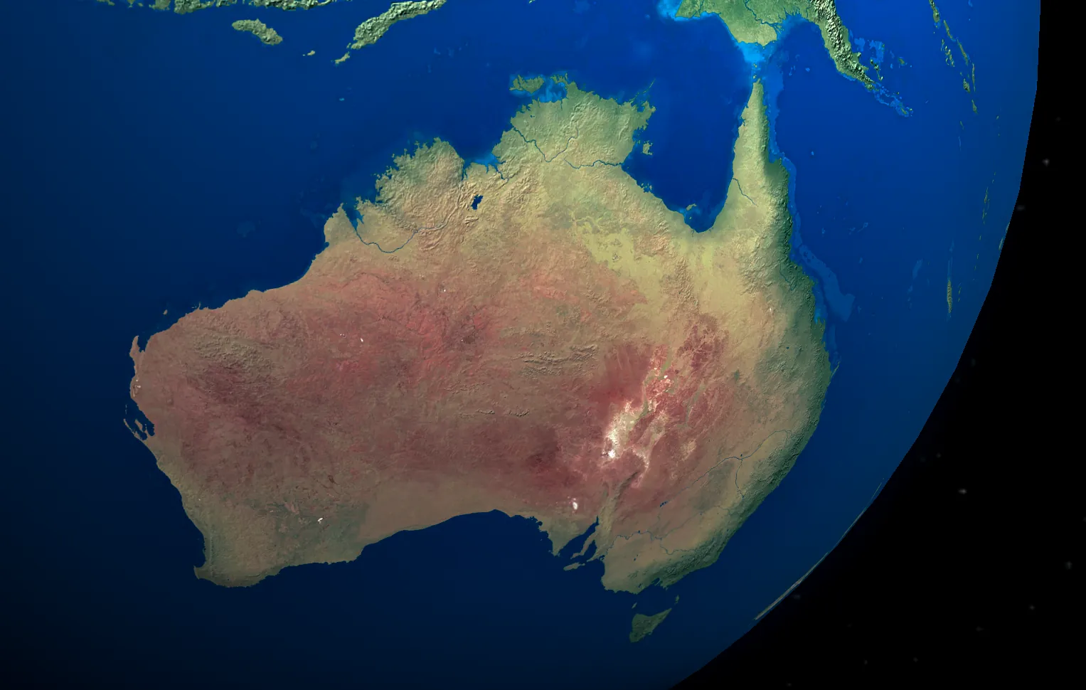
10 Best Free Sources of Satellite Data for Australia
Oct 24, 2024All Categories
- Agriculture 1
- Announcement 2
- Bathymetry 1
- Carbon Cycle 1
- Digital Elevation Models 1
- Educational 3
- Elevation Mapping 1
- Environmental Monitoring 6
- Forestry 1
- GIS Resources 16
- Industry News 3
- Market Analysis 1
- Mining 2
- News 3
- Partnership 3
- Product Updates 1
- Remote Sensing 22
- Satellite Imagery 22
- Satellite Technology 1
- Spatial Analysis 3
- Spatial Data 21
- Spectral Imaging 1
- Technology 2
- Vegetation Analysis 1