Remote Sensing
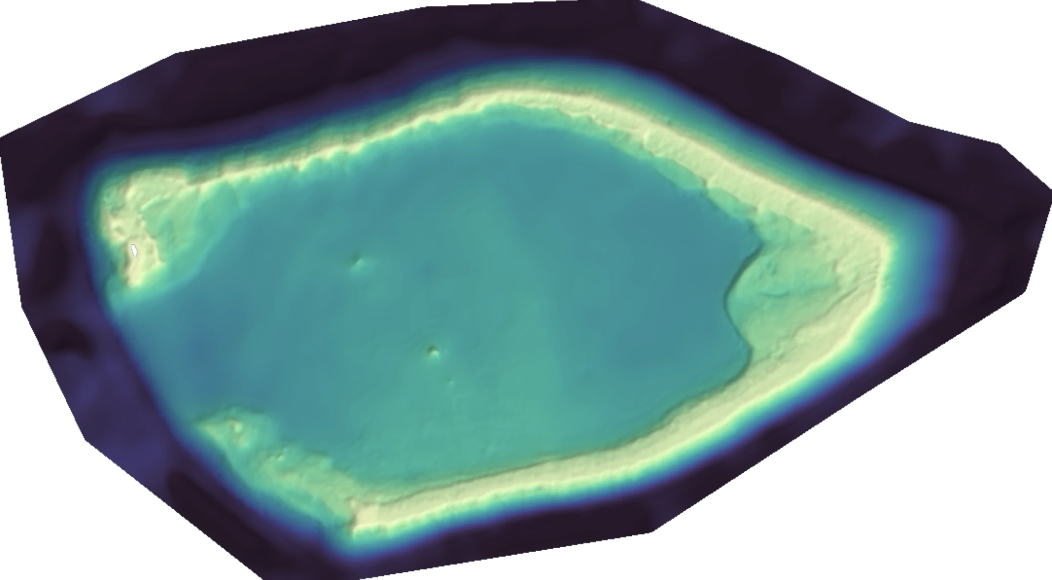
Satellite-Derived Bathymetry, Put to the Test Against Laser Truth
Jun 19, 2026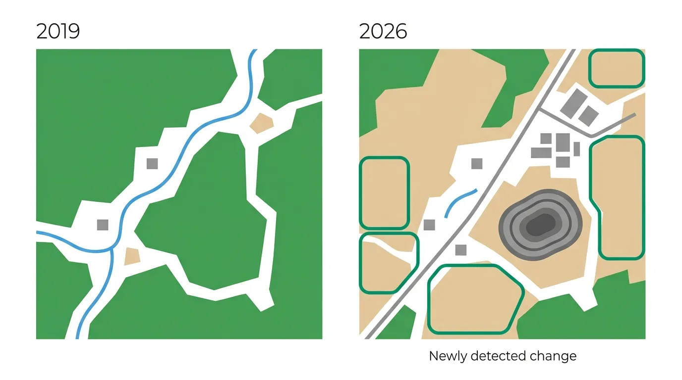
Satellite Change Detection: How to Track Change Over Time
Jun 16, 2026
What is Atmospheric Correction in Satellite Imagery?
May 26, 2026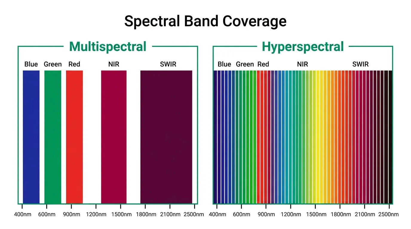
Multispectral vs Hyperspectral Satellite Imagery Explained
Mar 24, 2026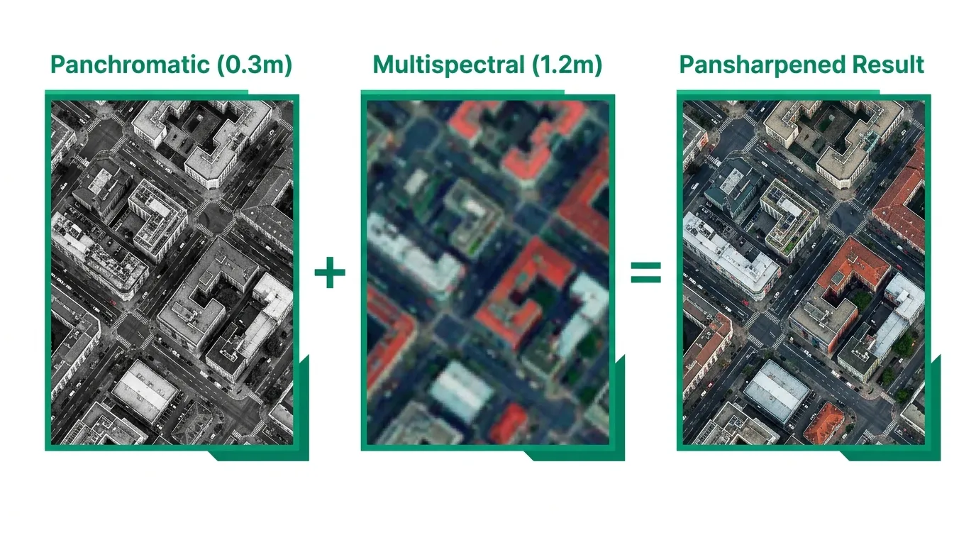
What is Pansharpening in Satellite Imagery?
Mar 24, 2026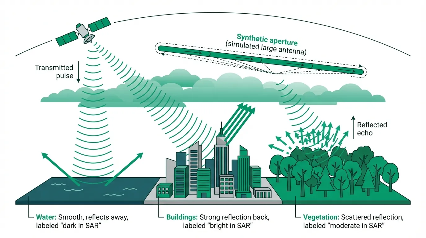
What is SAR Satellite Imagery? How Radar Sees What Optical Can't
Mar 17, 2026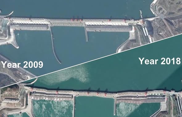
That Time Everyone Thought the Three Gorges Dam Was Collapsing Due to an Orthorectification Error
Nov 19, 2025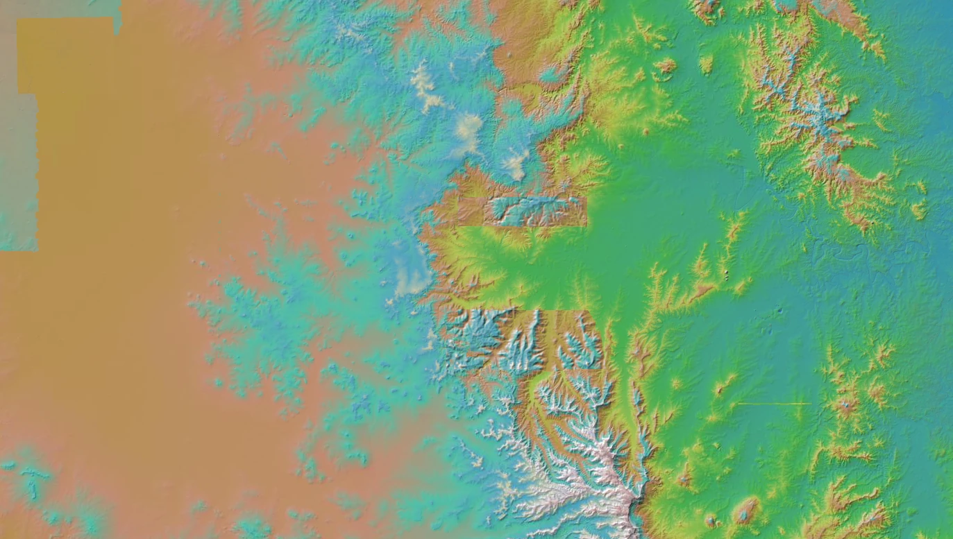
Understanding DEMs, DSMs, and DTMs: A Complete Guide to Digital Elevation Data
Oct 23, 2025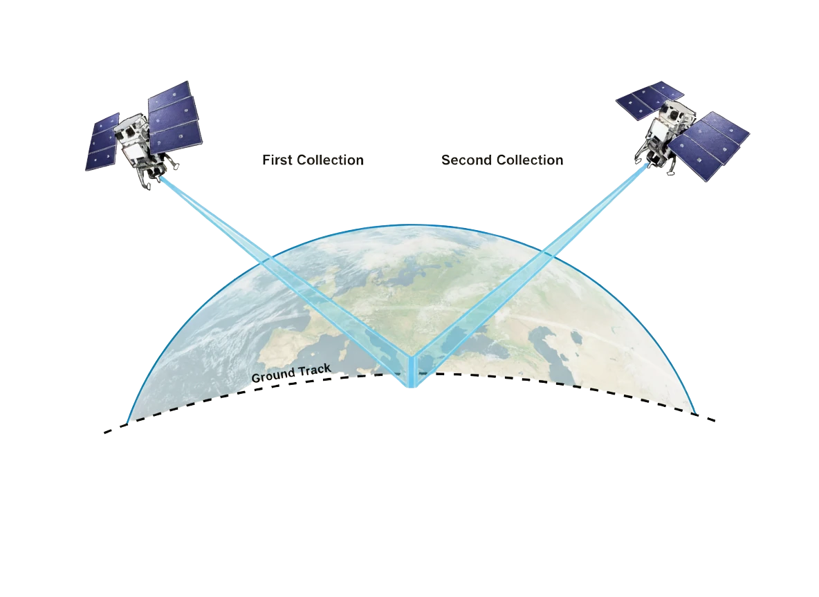
Understanding Stereoscopic Satellite Imagery: From Capture to DEM
Oct 14, 2025
What You Should Know About Optical Satellite Imagery
Sep 24, 2025
Orthorectification: Turning Raw Satellite Data Into Map-Ready Imagery
Sep 17, 2025
Why We Process Every Image
Jul 21, 2025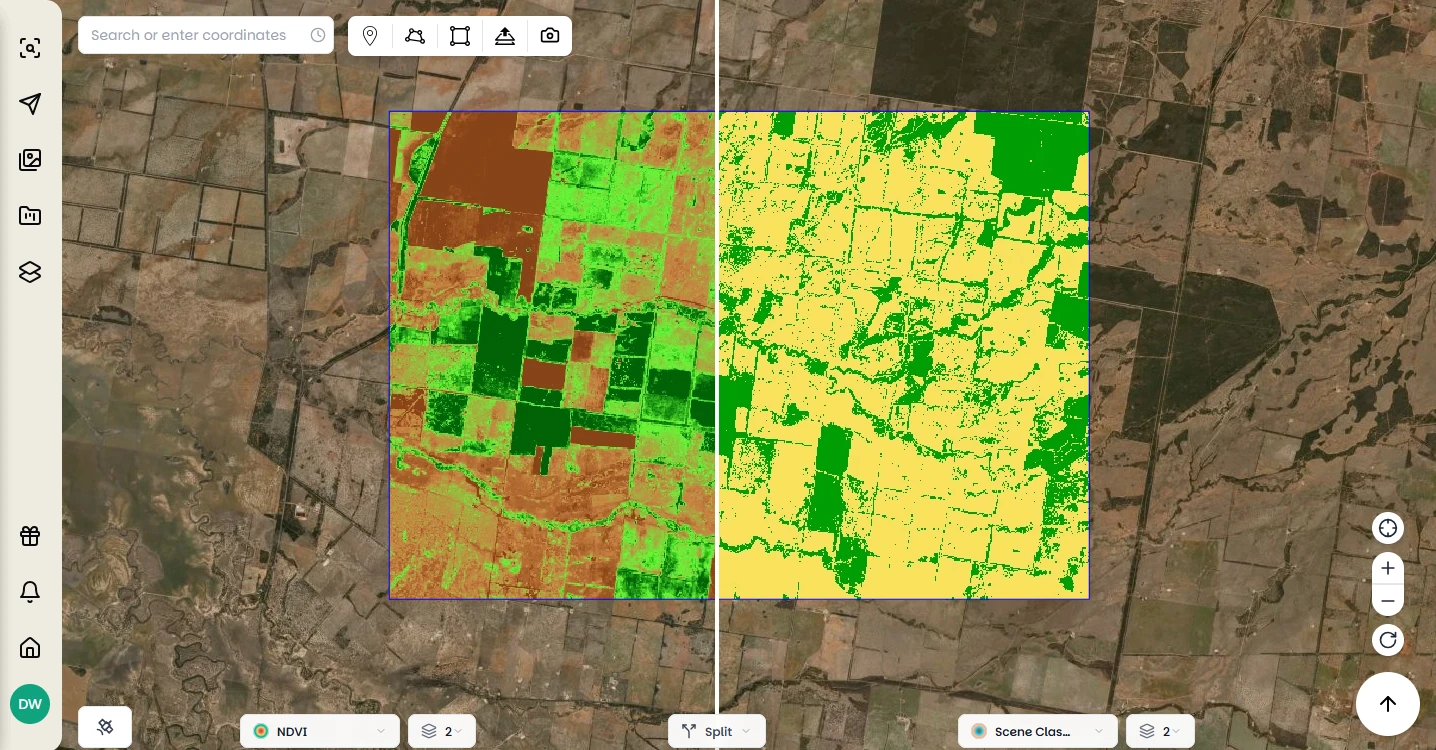
Instant NDVI in Browser, Capture Notifications, and More Updates to the Pera Portal
Jul 14, 2025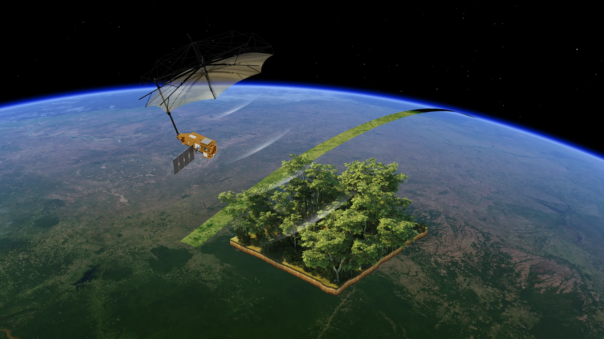
ESA's Biomass Mission Explained: Peering Inside the World's Forests
May 2, 2025
Satellite Tasking Explained - A Practical Guide
Apr 6, 2025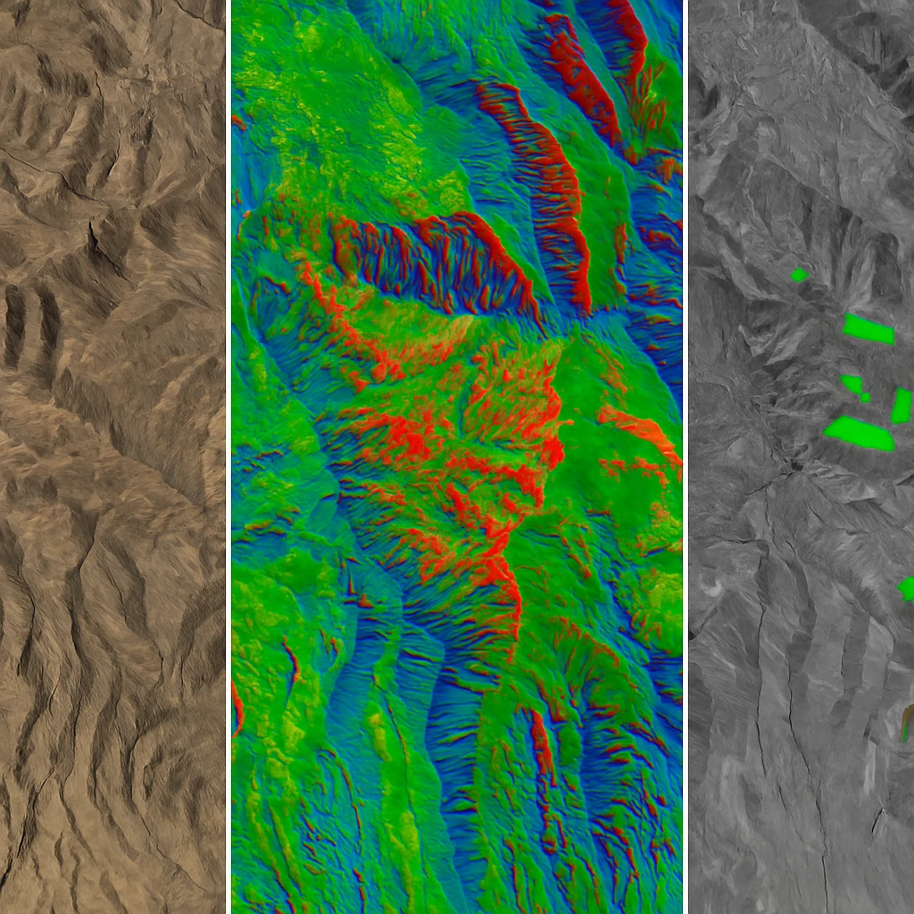
The Best Satellite Imagery for Every Application - A Complete Guide
Apr 1, 2025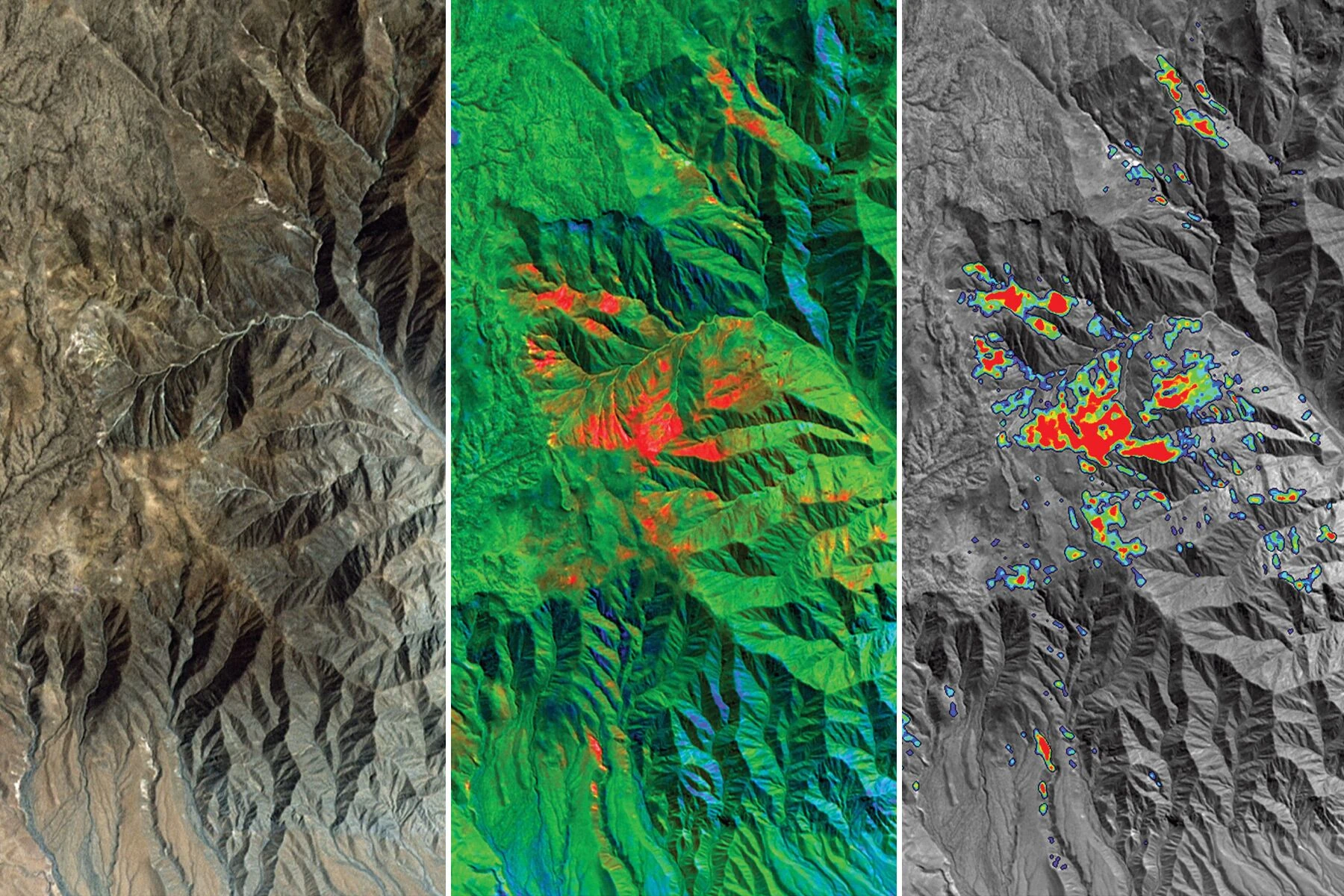
Satellite Imagery Across the Entire Mining Lifecycle
Mar 20, 2025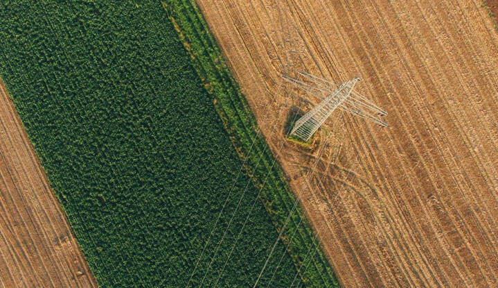
Vegetation Management in Australia Using Satellite Data
Mar 10, 2025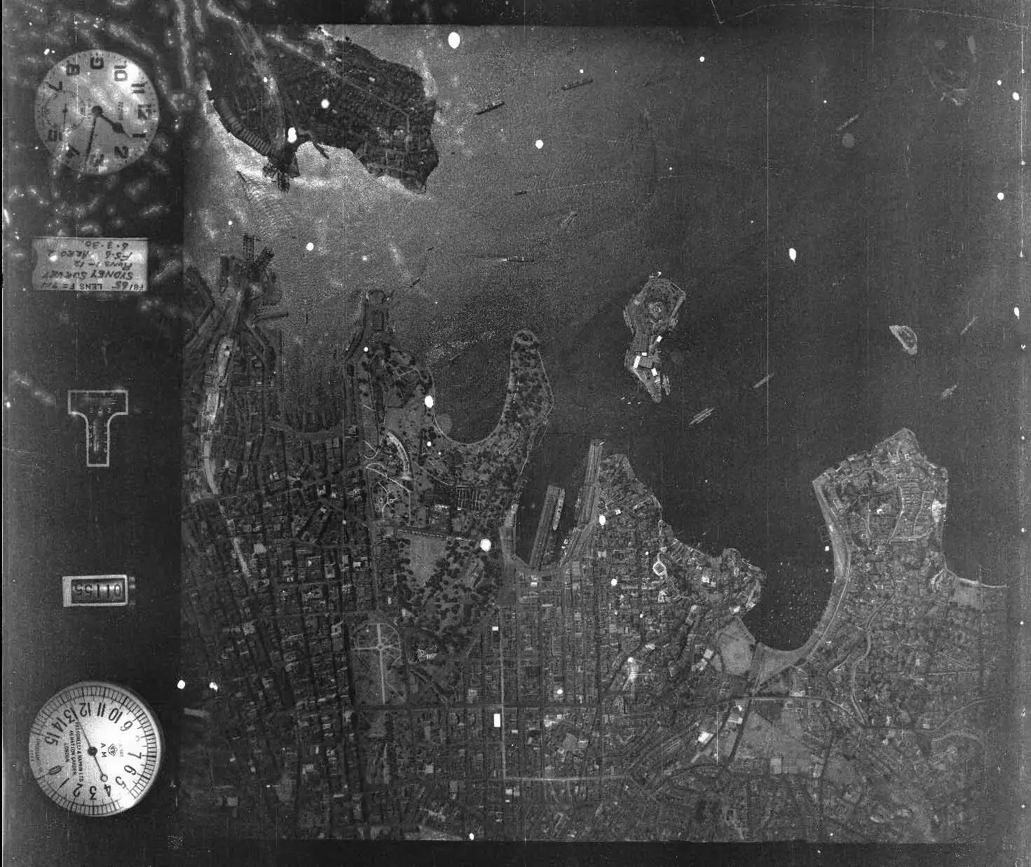
Historical Satellite Images of Australia: Accessing The Old Data
Mar 3, 2025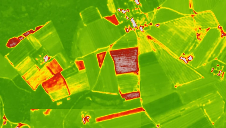
Red Edge in Remote Sensing: Applications and Advantages
Mar 3, 2025
Understanding Remote Sensing Vegetation Indices
Nov 1, 2024
What is Satellite Imagery?
Oct 10, 2024All Categories
- Agriculture 1
- Announcement 2
- Bathymetry 1
- Carbon Cycle 1
- Digital Elevation Models 1
- Educational 3
- Elevation Mapping 1
- Environmental Monitoring 6
- Forestry 1
- GIS Resources 16
- Industry News 2
- Market Analysis 1
- Mining 2
- News 3
- Partnership 3
- Product Updates 1
- Remote Sensing 22
- Satellite Imagery 21
- Satellite Technology 1
- Spatial Analysis 3
- Spatial Data 21
- Spectral Imaging 1
- Technology 2
- Vegetation Analysis 1