Remote Sensing
Could the Bhote Koshi collapse have been predicted?
We tested all four satellite precursor channels that have ever forecast an ice-rock avalanche, surface motion, radar coherence, elevation change, and thermal preconditioning, against the ice mass that killed at least 289 people in Nepal on 26 August 2026. Every channel returned a null or saturated signal. We published the negative result and what it means for where warning investment should go instead.
Read the analysis →
Remote Sensing
Bhote Koshi flood 2026: a reconstruction from open satellite data
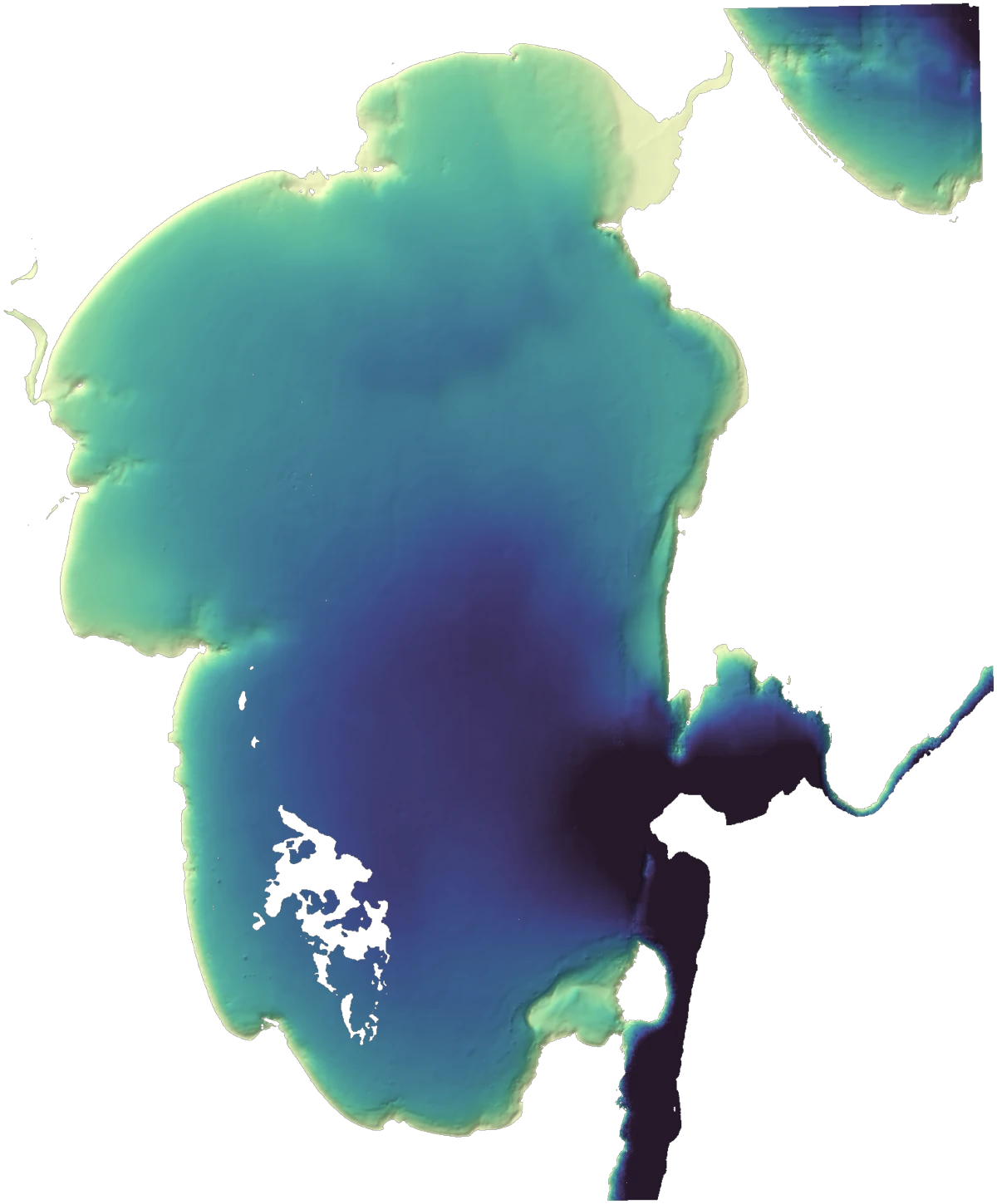
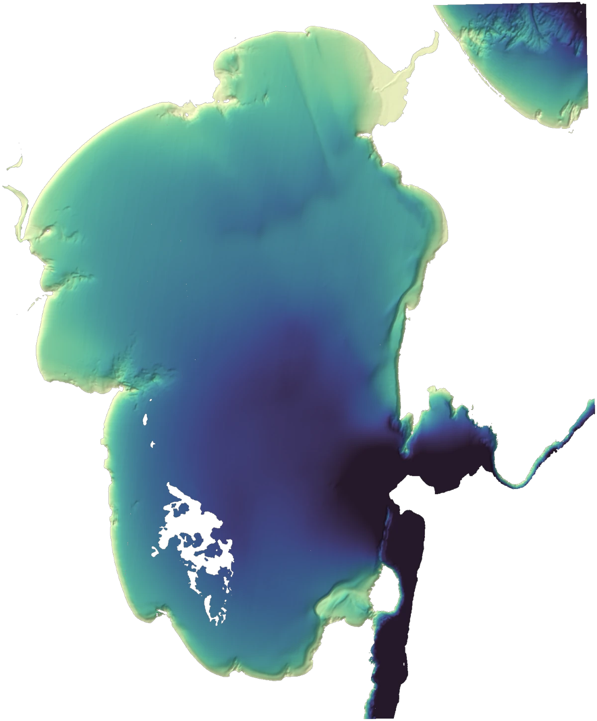
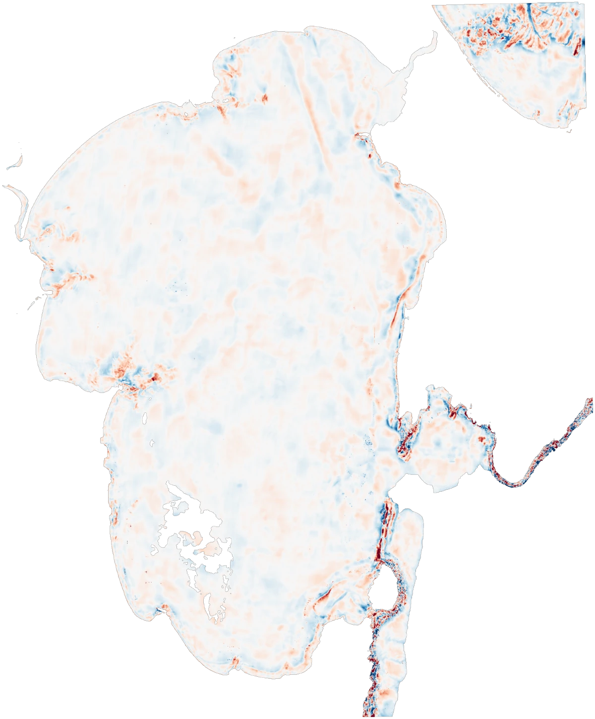
Working only from openly licensed satellite data, we reconstructed the 26 August 2026 Nepal glacier collapse and flood in about 72 hours: flow heights of 70 to 134 metres in the gorges, velocities of 37 to 52 metres per second, and 10 to 18 metres of new sediment on the valley floor. The source imagery, our processed rasters, and the full model are downloadable.
Read the reconstruction →
Imagery Processing
Why we process every image
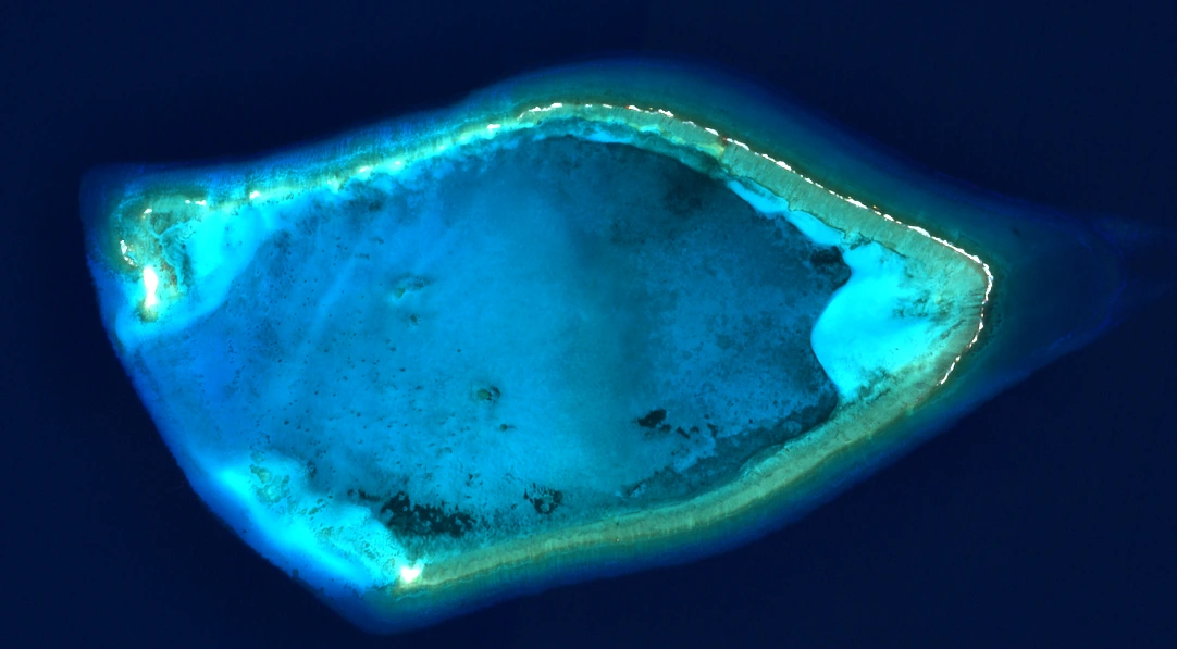
No image leaves Geopera raw. Every order runs the same automated chain (ortho correction, pansharpening, colour balancing, mosaicing) with nothing manual between stages and nothing skipped. The seamless result is the proof the process ran.
Read the essay →How Legato works →
Imagery Processing
When orthorectification goes wrong: the Three Gorges Dam scare
A distorted satellite view once convinced the internet a mega-dam was buckling. We reconstructed how the geometry error happened, and what correct terrain modelling looks like.
Read the analysis →
World Models · In progress
JEPA world models for Earth observation
We are pretraining joint-embedding predictive models on our processed imagery archive. Instead of predicting pixels, the model learns to predict how a scene's representation evolves. That is the groundwork for change detection and automated data QC that generalise across sensors. We will publish the method and the validation when the results hold up.
User Experience · Ongoing
Watching people buy satellite imagery
Remote sensing has a usability problem, and we treat it as a research question. We run interviews and workflow studies with GIS analysts, surveyors, and scientists, and the findings shape the ordering experience in Pera Portal. If you buy imagery for a living, we'd like to watch you work.
Participate in a study →