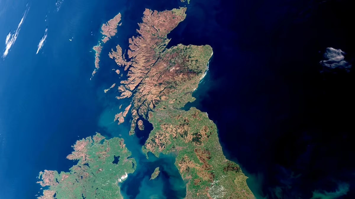
10 Best Free Sources of Satellite Data for the UK
A comprehensive list of the best free satellite data sources in the United Kingdom
Summary
Pera Portal: Unlimited free Sentinel-2 browsing with 45+ pre-configured spectral indices (NDVI, NDWI, EVI, etc.) viewable in-browser. Advanced band ratio calculations, zero setup required. Global coverage including comprehensive UK imagery. Plus access to 100+ commercial satellites for premium imagery when needed
Ordnance Survey Open Data: Best for detailed mapping products, aerial imagery, and property boundaries across the UK
UK Centre for Ecology & Hydrology Countryside Survey: Best for environmental and land cover data specific to British landscapes
Copernicus Data Space Ecosystem: Best for environmental monitoring and agricultural applications with frequent Sentinel updates across Europe
Google Earth: Best for general purpose viewing and basic exploration of your property
DEFRA Data Services Platform: Best for UK environmental data, land use, and agricultural monitoring
Scotland’s Spatial Data: Best for Scottish-specific satellite imagery and geospatial data
NASA Earthdata Search: Best for scientific research and comprehensive global satellite data
Maxar Open Data Program: Best for disaster response imagery during floods and emergencies
Zoom Earth: Best for near-current weather and environmental condition tracking across the UK
Overview
Looking for satellite images of your house in the United Kingdom? Want to view historical satellite imagery of your property for free? You’re in the right place.
This guide will help you explore the various sources of satellite data available in the UK, whether you want to view imagery directly in your browser or download data for further analysis.
Understanding Real-Time Satellite Imagery
Many people search for “live satellite view” or “real-time satellite images” of their house, but here’s the truth — despite what movies might suggest, live satellite imagery isn’t possible with current technology. What you see on mapping platforms is usually imagery captured weeks or even months ago.
What’s Available in the UK
If you’re searching for free satellite imagery in the UK, it’s important to understand what’s available:
- Most free satellite images are updated every few months to years.
- Free imagery generally has lower resolution (you can see buildings, but not detailed features).
- High-resolution imagery with clear details often requires a paid subscription.
- Real-time satellite imagery does exist but is typically limited to weather forecasting or emergency services.
Fortunately, the United Kingdom offers several excellent free sources of satellite data through government agencies, the EU’s Copernicus program, and research institutions. Whether you are a property owner, researcher, or just curious, we’ll walk you through the best free and paid options available.
1. Ordnance Survey Open Data
Ordnance Survey Open Data is the UK’s national mapping agency, providing free access to geospatial data including aerial imagery and detailed mapping products.
Key Features:
- High-quality mapping products covering all of Great Britain.
- OS Open Data includes topographic maps, road networks, and terrain models.
- Aerial imagery available through various OS products.
- Regular updates reflecting changes in the British landscape.
- Free downloads of comprehensive datasets without registration barriers.
2. UK Centre for Ecology & Hydrology Data
The UK Centre for Ecology & Hydrology provides environmental monitoring data including satellite-derived land cover maps and vegetation indices.
Key Features:
- UK-specific land cover maps derived from satellite data.
- Long-term environmental monitoring datasets dating back decades.
- Countryside Survey data tracking changes in British landscapes.
- Free access to research-quality datasets.
- Ideal for environmental research, conservation, and land management.
3. Pera Portal
Our Pera Portal provides completely free, unlimited access to Sentinel-2 satellite imagery with advanced analytical capabilities that surpass most free platforms.
Key Features:
- Unlimited free Sentinel-2 browsing with no registration walls or download limits.
- 45+ pre-configured spectral indices viewable instantly in your browser:
- NDVI (vegetation health and crop monitoring)
- NDWI (water detection and flood monitoring)
- EVI (enhanced vegetation index for British agriculture)
- SAVI, MSAVI, NDBI, and many more
- Custom band ratio calculations — create your own indices for specialized analysis.
- Zero setup required — view processed imagery immediately without downloading or installing software.
- Global coverage including comprehensive UK imagery updated every 5 days.
- Ideal for UK applications:
- Agricultural monitoring across England, Scotland, Wales, and Northern Ireland
- Flood risk assessment and water resource management
- Urban development tracking in growing cities
- Coastal erosion monitoring
- Forestry and conservation management
- Premium commercial imagery access — upgrade to browse 100+ commercial satellites with sub-meter resolution when you need more detail.
Unlike other platforms that require technical knowledge or large downloads, Pera Portal makes advanced satellite imagery analysis accessible to everyone — from farmers monitoring crop health across the Home Counties to researchers tracking peatland restoration in Scotland.
4. Copernicus Data Space Ecosystem
The European Union’s Copernicus program offers free, high-quality Sentinel satellite data with comprehensive coverage of the United Kingdom and Europe.
Key Features:
- Sentinel-2 optical imagery updated every 5 days with 10-meter resolution.
- Sentinel-1 radar data for all-weather monitoring (crucial for frequently cloudy UK conditions).
- Free access without download limits or registration barriers.
- Ideal for agricultural monitoring, forestry, and environmental research.
- Cloud-based visualization and download options.
- Perfect for tracking changes across British landscapes.
5. Google Earth
Google Earth provides high-resolution satellite imagery across the United Kingdom. It’s the easiest platform for casual users who want to view satellite images of their house.
Key Features:
- Simple, intuitive interface accessible from any web browser.
- Historical imagery slider to view changes over time.
- 3D building models for major UK cities including London, Manchester, and Edinburgh.
- Coverage of all regions including remote Scottish Highlands and islands.
- Not suitable for downloading raw satellite data or technical analysis.
6. DEFRA Data Services Platform
The Department for Environment, Food & Rural Affairs Data Services Platform provides environmental and agricultural data including satellite-derived products.
Key Features:
- UK environmental data including land use and agricultural statistics.
- Integration with EU Copernicus data for British territories.
- Flood risk mapping and water quality monitoring.
- Free access to government environmental datasets.
- Useful for planning, environmental assessment, and agricultural applications.
7. Scotland’s Spatial Data
Scotland’s Spatial Data provides comprehensive geospatial data specific to Scotland, including satellite imagery and aerial photography.
Key Features:
- High-resolution aerial photography covering all of Scotland.
- Satellite imagery and derived products for Scottish territories.
- Land cover maps and environmental monitoring data.
- Integration with Ordnance Survey data for seamless coverage.
- Free access to Scottish government spatial data.
8. NASA Earthdata Search
NASA Earthdata Search provides comprehensive satellite datasets with global coverage including the United Kingdom.
Key Features:
- Complete Landsat archive dating back to 1972 for long-term UK landscape analysis.
- MODIS data for large-scale environmental monitoring.
- Free registration and unlimited downloads.
- Advanced search filters by location, date, and cloud cover.
- Essential for scientific research and climate studies.
9. Maxar Open Data Program
Maxar offers high-resolution commercial satellite imagery for free during natural disasters and emergencies in the UK.
Key Features:
- Sub-meter resolution imagery during floods and severe weather events.
- Released within 24-48 hours of disaster events.
- Critical for emergency response, particularly during widespread flooding.
- Before-and-after imagery for disaster assessment and recovery planning.
- Partnerships with UK emergency management agencies.
10. Zoom Earth
Zoom Earth provides frequently updated satellite imagery, focusing on weather patterns and environmental conditions across the UK.
Key Features:
- Near-current weather and storm tracking.
- Updated multiple times daily with latest satellite passes.
- Excellent for tracking Atlantic storms, wind patterns, and weather systems affecting the UK.
- Time-lapse animations showing weather development.
- No registration required for basic viewing.
Tips for Making the Most of Free Satellite Imagery Platforms
1. Find the Right Platforms. We’ve highlighted some of the best satellite data providers for UK applications. Starting with the platforms above will save you time and ensure access to UK-specific datasets from trusted government sources.
2. Understand Platform Capabilities. Each platform offers unique features. Familiarise yourself with their resolution, data quality, and update frequency to match your project’s needs. For the frequently cloudy UK climate, consider radar-based Sentinel-1 data which penetrates clouds.
3. Define Your Requirements. Specify what you need — the area of interest, time range, spatial resolution, and spectral bands — and use search filters to narrow down the results. British territories have excellent coverage, so precise targeting is important.
4. Use Visualisation Tools. Many platforms provide built-in tools to help you explore and analyse the data. Pera Portal’s spectral index capabilities, for example, can provide insights into crop health, water resources, and land use without needing external software or technical expertise.
5. Be Selective with Downloads. Rather than downloading full datasets, focus on specific tiles or areas of interest to save time and storage space. For many use cases, cloud-based platforms like Pera Portal eliminate the need for downloads entirely.
By following these tips, you’ll be able to make the most of the available satellite imagery resources in the UK, whether you’re conducting research, evaluating property, monitoring agricultural land, tracking environmental changes, or assessing flood risks.
When Free Satellite Data Isn’t Enough
Free platforms cover an enormous range of uses — and if you’re simply curious about your own property, they’re genuinely all you’ll ever need. But if you’re using imagery professionally, you’ll eventually hit the resolution wall:
| Source | Resolution | What you can actually see |
|---|---|---|
| Landsat (free) | 30 m | Regional land cover — a football pitch is roughly one pixel |
| Sentinel-2 (free) | 10 m | Field-scale vegetation patterns; buildings are blurs |
| Commercial (Geopera) | up to 30 cm | Individual vehicles, fence lines, garden boundaries, single trees |
The difference matters the moment you need to measure rather than look: documenting flood extent on a specific date, monitoring construction progress site-by-site, resolving a boundary question, or tracking change at the scale of a single property rather than a parish. Free sensors also can’t be tasked — and with the UK’s cloud cover, the archive may simply not hold a usable capture of your site for the window you need.
Commercial imagery used to mean opaque quotes and weeks of back-and-forth. We publish transparent per-square-kilometre pricing for both tasking and archive, and every order arrives analysis-ready — orthorectified, pansharpened, colour-balanced and mosaicked (here’s exactly what that involves).
If free data has taken your project as far as it can go, explore available imagery through Pera Portal or get in touch to discuss your project.
Related Articles
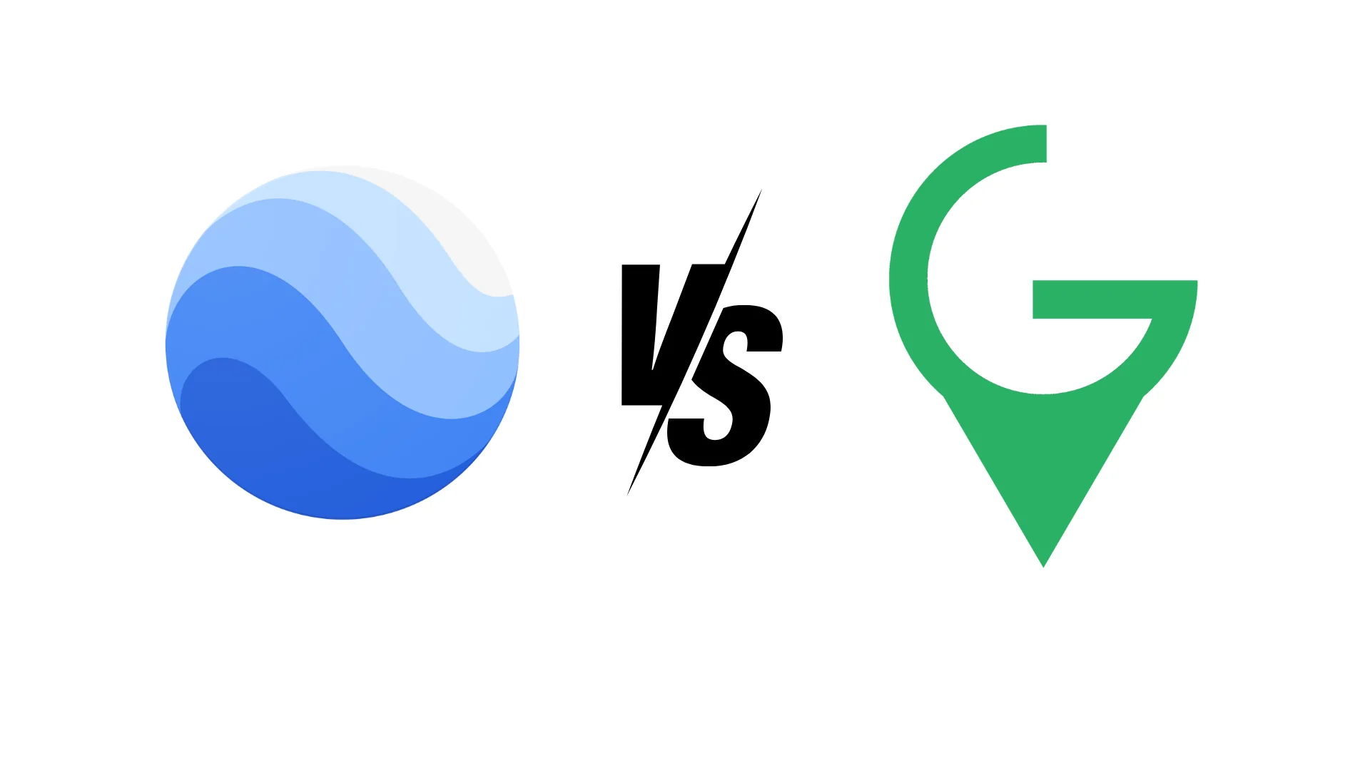
Google Earth vs Commercial Satellite Imagery
A Comparison on the differences between Google earth and Commercial Imagery
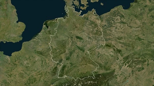
10 Best Free Sources of Satellite Data for Germany
Discover the best free satellite data sources available for German projects and research.
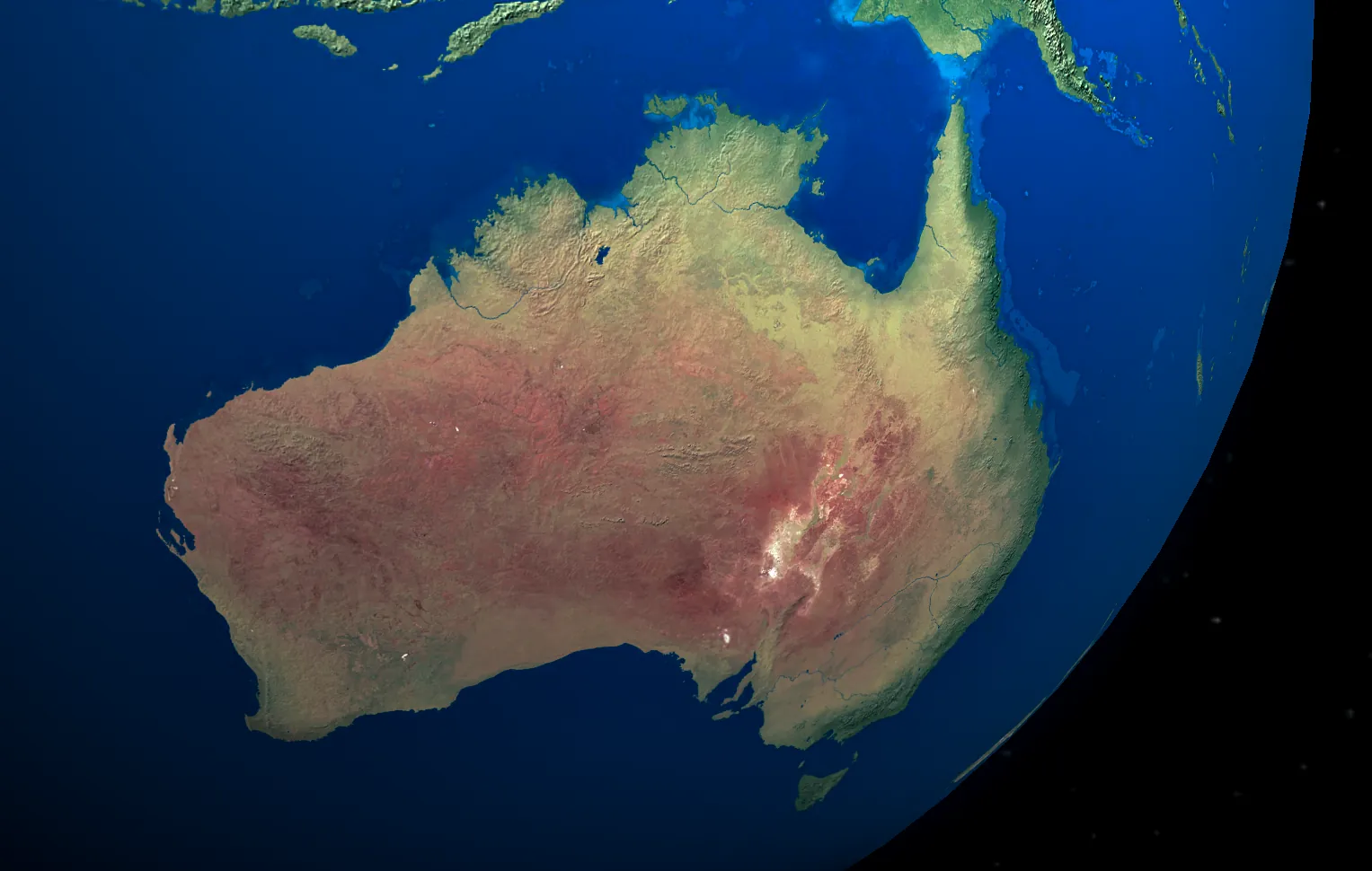
10 Best Free Sources of Satellite Data for Australia
Discover the best free satellite data sources available for Australian projects and research.
