10 Best Free Sources of Satellite Data for Australia
A comprehensive list of the best free satellite data sources in Australia
Summary
Pera Portal: Unlimited free Sentinel-2 browsing with 45+ pre-configured spectral indices (NDVI, NDWI, EVI, etc.) viewable in-browser. Advanced band ratio calculations, zero setup required. Plus access to 100+ commercial satellites for premium imagery when needed
National Map: Best for property owners wanting easy-to-view satellite images without technical knowledge
Digital Earth Australia: Best for researchers and analysts tracking environmental changes over time
State-Specific Resources:
- SIX Maps (NSW)
- Queensland Globe
- Vicmap (Victoria) Best for detailed local planning and property boundary information
Google Earth: Best for general purpose viewing and basic exploration
BoM Satellite Viewer: Best for weather monitoring and tracking current atmospheric conditions
Copernicus Data Space Ecosystem: Best for environmental monitoring and agricultural applications
Zoom Earth: Best for near-current weather and environmental condition tracking
NASA Earthdata Search: Best for scientific research and complex data analysis
Maxar Open Data Program: Best for disaster response and emergency management
Overview
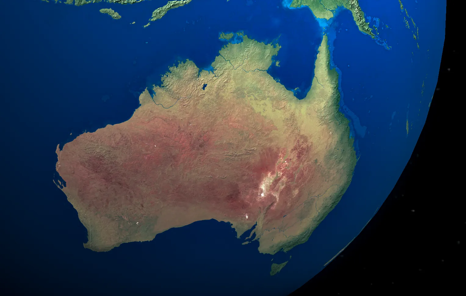
Looking for satellite images of your house in Australia? Want to view historical satellite imagery of your property for free? You’re in the right place.
This guide will help you explore the various sources of satellite data available to Australians, whether you want to view imagery directly in your browser or download data for further analysis.
Understanding Real-Time Satellite Imagery
Many people search for “live satellite view” or “real-time satellite images” of their house, but here’s the truth — despite what movies might suggest, live satellite imagery isn’t possible with current technology. What you see on mapping platforms is usually imagery captured weeks or even months ago.
What’s Available in Australia
If you’re searching for free satellite imagery in Australia, it’s important to understand what’s available:
- Most free satellite images are updated every few months to years.
- Free imagery generally has lower resolution (you can see buildings, but not detailed features).
- High-resolution imagery with clear details often requires a paid subscription.
- Real-time satellite imagery does exist but is typically limited to weather forecasting or emergency services.
Fortunately, Australia offers several excellent free sources of satellite data. Whether you are a property owner, researcher, or just curious, we’ll walk you through the best free and paid options available.
1. National Map
National Map is an Australian government platform that allows users to view satellite imagery directly through their browser. It’s an excellent starting point if you want to see satellite images of your property without needing to download large datasets.
Key Features:
- Simple, Google Maps-style interface for easy navigation.
- Frequently updated satellite views of cities and rural areas.
- Access to a wide range of geographic data, including:
- Digital elevation models
- Property boundaries
- Infrastructure and planning overlays
- Environmental data
2. Digital Earth Australia (DEA)
Digital Earth Australia offers detailed satellite imagery and analytical tools, ideal for tracking changes to the environment or specific properties over time.
Key Features:
- Free access to time-series satellite data for Australia.
- Historical imagery dating back to 1988.
- Updated every 5 to 16 days, depending on the satellite.
- Products focused on water monitoring, urban development, and vegetation analysis.
3. State-Specific Resources
Each Australian state provides its own satellite imagery platforms, which often offer higher resolution and more frequent updates than national platforms.
- NSW Spatial Services (SIX Maps): High-resolution imagery and property boundaries for NSW.
- Queensland Globe: Detailed satellite views and mining overlays for Queensland.
- Victoria’s DataVic (Vicmap): Planning zone maps and regular updates for Victoria.
- Other state platforms:
- Western Australia’s Landgate
- South Australia’s Location SA
- Tasmania’s LISTmap
- Northern Territory’s NR Maps
4. Google Earth
Google Earth provides high-resolution satellite imagery across the globe, including Australia. However, most images are several months old, and the platform isn’t suitable for downloading raw data.
5. Geopera Portal
Our very own Pera Portal offers access to premium satellite imagery, providing higher resolution and more frequent updates than free sources. You can preview available imagery and order only the specific tiles or captures you need.
6. BoM Satellite Viewer
The Bureau of Meteorology (BoM) provides near real-time satellite imagery focused on weather patterns through SatView. This is useful for monitoring storm systems and other atmospheric conditions.
Key Features:
- Updates every 10 minutes.
- User-friendly interface to zoom in on specific areas.
- Continuous coverage via geostationary satellites.
7. Copernicus Data Space Ecosystem
The European Union’s Copernicus program offers free, high-quality satellite data with frequent updates. It’s a valuable resource for environmental monitoring, agriculture, and disaster response.
8. Zoom Earth
Zoom Earth provides frequently updated satellite imagery, focusing on weather patterns and environmental conditions. It’s an excellent tool for tracking near-current conditions.
9. NASA Earthdata Search
NASA Earthdata Search provides comprehensive datasets for scientific research. While it’s not designed for casual users, it offers essential resources for those needing in-depth analysis.
10. Maxar Open Data Program
Maxar offers high-resolution satellite imagery during natural disasters in Australia. This program is critical for emergency response efforts.
Key Features:
- Free access to imagery during crises.
- Partnerships with humanitarian organisations.
- High-resolution data for disaster recovery planning.
Tips for Making the Most of Free Satellite Imagery Platforms
1. Find the Right Platforms.
We’ve highlighted some of the best satellite data providers, but there are many more out there. Starting with the platforms above will save you time and ensure a smoother experience.
2. Understand Platform Capabilities.
Each platform offers unique features. Familiarise yourself with their resolution, data quality, and update frequency to match your project’s needs.
3. Define Your Requirements.
Specify what you need — the area of interest, time range, spatial resolution, and spectral bands — and use search filters to narrow down the results.
4. Use Visualisation Tools.
Many platforms provide built-in tools to help you explore and analyse the data. These features can provide deeper insights without needing external software.
5. Be Selective with Downloads.
Rather than downloading full datasets, focus on specific tiles or areas of interest to save time and storage space.
By following these tips, you’ll be able to make the most of the available satellite imagery resources, whether you’re conducting research, evaluating property, or monitoring environmental changes.
When Free Satellite Data Isn’t Enough
Free platforms cover an enormous range of uses — and if you’re simply curious about your own property, they’re genuinely all you’ll ever need. But if you’re using imagery professionally, you’ll eventually hit the resolution wall:
| Source | Resolution | What you can actually see |
|---|---|---|
| Landsat (free) | 30 m | Regional land cover — a footy oval is roughly one pixel |
| Sentinel-2 (free) | 10 m | Paddock-scale vegetation patterns; buildings are blurs |
| Commercial (Geopera) | up to 30 cm | Individual vehicles, fence lines, stockpiles, single trees |
The difference matters the moment you need to measure rather than look: tracking earthworks on a mine site, auditing stockpiles, mapping erosion along a specific creek line, monitoring vegetation by the row rather than by the paddock, or proving site conditions on a particular date. Free sensors also can’t be tasked — if no satellite happened to capture your site cloud-free last month, there’s nothing to download.
Commercial imagery used to mean opaque quotes and weeks of back-and-forth. We publish transparent per-square-kilometre pricing for both tasking and archive, and every order arrives analysis-ready — orthorectified, pansharpened, colour-balanced and mosaicked (here’s exactly what that involves).
If free data has taken your project as far as it can go, explore available imagery through Pera Portal or get in touch to discuss your project.