21AT Data Now Available Through Geopera
Geopera announces partnership with 21AT, bringing high-quality, affordable satellite imagery to Australian organisations through the Pera Portal
Geopera Partners with 21AT to Deliver Premium Satellite Imagery at Competitive Prices
We’re excited to announce that Geopera has partnered with 21AT, adding their high-quality satellite imagery to our comprehensive data offerings for the Australian market. This strategic collaboration allows our customers to access 21AT’s extensive satellite constellation data directly through the Pera Portal, providing exceptional imagery at industry-leading prices.
- Log in to Pera Portal to view available 21AT data coverage across Australia
- Contact our Australian team for information about specifications, pricing, and availability for your region
Premium Quality, Exceptional Value
The partnership brings 21AT’s impressive satellite fleet to Australian users with unprecedented accessibility and affordability:
- BJ3N satellite imagery at just $40/sq km for 30cm tasking (AUD)
- Archive imagery available for only $25/sq km (AUD)
- Rapid delivery through Geopera’s efficient processing pipeline
- Seamless integration with existing workflows in the Pera Portal
These price points represent exceptional value in the high-resolution satellite imagery market while maintaining the premium quality that professional applications demand.
21AT’s Comprehensive Satellite Constellation
21AT (Twenty First Century Aerospace Technology) has established itself as a leading provider of Earth observation satellite data with an impressive and growing constellation:
BJ3N Series
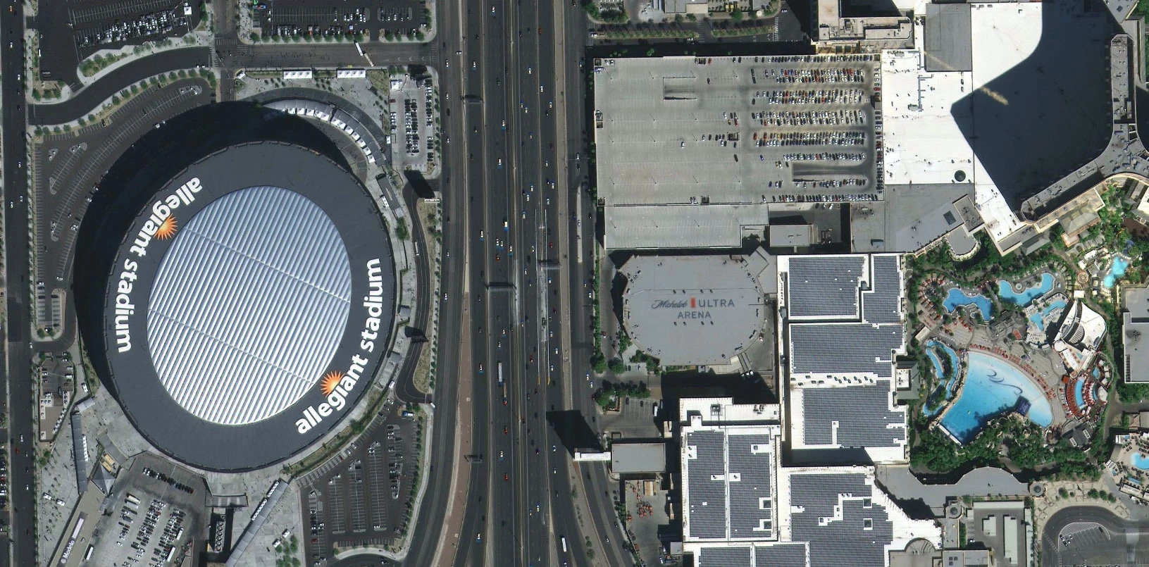
The flagship BJ3N satellite delivers stunning 30cm resolution imagery, providing the detail necessary for precise analysis across numerous applications. This level of resolution, previously available only at premium price points, is now accessible at a fraction of traditional costs through our partnership.
BJ3A Fleet
The constellation includes five BJ3A satellites capturing 50cm resolution imagery, offering an excellent balance between detail and coverage for regional-scale projects where sub-meter resolution is essential.
Triple Sat Constellation
Complementing the high-resolution offerings, 21AT’s three 80cm Triple Sat satellites provide reliable imagery for broader coverage requirements and affordable archive applications.
Applications: High-Resolution Solutions for Australian Industries
The combination of exceptional resolution and affordable pricing makes 21AT data particularly valuable across multiple Australian sectors:
Urban Planning and Infrastructure
- Detailed mapping of urban environments at 30cm resolution
- Infrastructure monitoring and development planning
- Property boundary assessment and cadastral mapping updates
- Transportation network analysis and planning
Agriculture and Land Management
- Precise crop monitoring at field and plant level
- Detailed farm infrastructure mapping and planning
- Property boundary verification and land use classification
- Irrigation system assessment and optimization
Environmental Monitoring
- Vegetation health assessment and change detection
- Coastal erosion monitoring and management
- Habitat mapping for conservation planning
- Environmental compliance verification
Mining and Resources
- Detailed site monitoring and planning
- Environmental compliance documentation
- Infrastructure development tracking
- Operation optimization and safety monitoring
The exceptional quality-to-price ratio of 21AT data provides Australian organisations with cost-effective solutions for projects requiring high-resolution imagery without premium pricing constraints.
Geopera + 21AT: Streamlined Access to Premium Data
Through this partnership, Geopera customers across Australia can now access 21AT’s high-resolution satellite data through our Pera Portal platform with several advantages:
- Integration with Geopera’s processing pipeline for efficient delivery
- Compatibility with existing geospatial workflows
- Streamlined data access through the intuitive Pera Portal interface
- Local technical support from our Australian-based team
- Significant cost savings compared to traditional high-resolution data sources
This collaboration provides Australian organisations across all sectors with practical, affordable tools to enhance their geospatial capabilities while addressing budget constraints that have traditionally limited access to the highest quality satellite imagery.
Access 21AT Data Through Geopera Today
For Australian organisations ready to explore how high-resolution, affordable satellite imagery can transform their operations:
- Log in to Pera Portal to view available 21AT data coverage across Australia
- Contact our Australian team for information about specifications, pricing, and availability for your region
- Experience the perfect balance of quality and affordability with 21AT data
21AT’s complete satellite imagery catalog for Australian territories is now available on the Pera Portal.
Learn More About 21AT
Learn more about 21AT and their satellite constellation at https://www.21at.sg/
