Orthorectification: Turning Raw Satellite Data Into Map-Ready Imagery
Learn how orthorectification transforms raw satellite imagery into accurate, map-ready products by removing distortions from terrain, sensor tilt, and Earth curvature.

Summary
- What It Is: Orthorectification removes distortions from raw satellite imagery caused by terrain, sensor angle, and Earth’s curvature, creating accurate map-ready products
- Why It Matters: Without orthorectification, features don’t appear in their true locations, measurements are unreliable, and overlaying geospatial data leads to misalignment
- How It Works: Combines raw imagery with RPCs (Rational Polynomial Coefficients) and DEMs (Digital Elevation Models) to correct geometric distortions
- DIY Option: Can be performed using GDAL’s
gdalwarputility, though real-world applications require expertise and infrastructure - Geopera Advantage: All imagery from Geopera comes fully orthorectified—no processing delays, no technical complexity
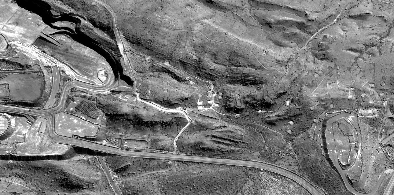
When satellites orbit hundreds of kilometres above Earth, they capture extraordinary levels of detail. But what you see straight from the sensor isn’t a perfect map. Raw satellite images carry distortions caused by terrain, sensor tilt, and even the curvature of the Earth itself.
Orthorectification is the process that removes these distortions. By correcting geometry and aligning each pixel to its true ground position, it transforms imagery into accurate, map-ready products that can be trusted for measurement, analysis, and decision-making.
Why Orthorectification Matters
When a satellite captures imagery, it isn’t always looking straight down. The sensor has an angle, the Earth’s surface has hills and valleys, and the planet itself curves away from view. These factors introduce distortions that shift objects away from their true ground position.
Without correction, this means:
Features don’t appear where they actually are
Measurements of distance or area aren’t reliable
Overlaying other geospatial data leads to visible misalignment
For industries like mining, infrastructure, agriculture, and environmental monitoring, these errors create serious problems. Engineers can’t measure accurately, planners can’t design with confidence, and analysts risk drawing the wrong conclusions.
Orthorectification corrects these distortions, creating an “orthophoto” where every pixel is placed in its proper location on Earth.
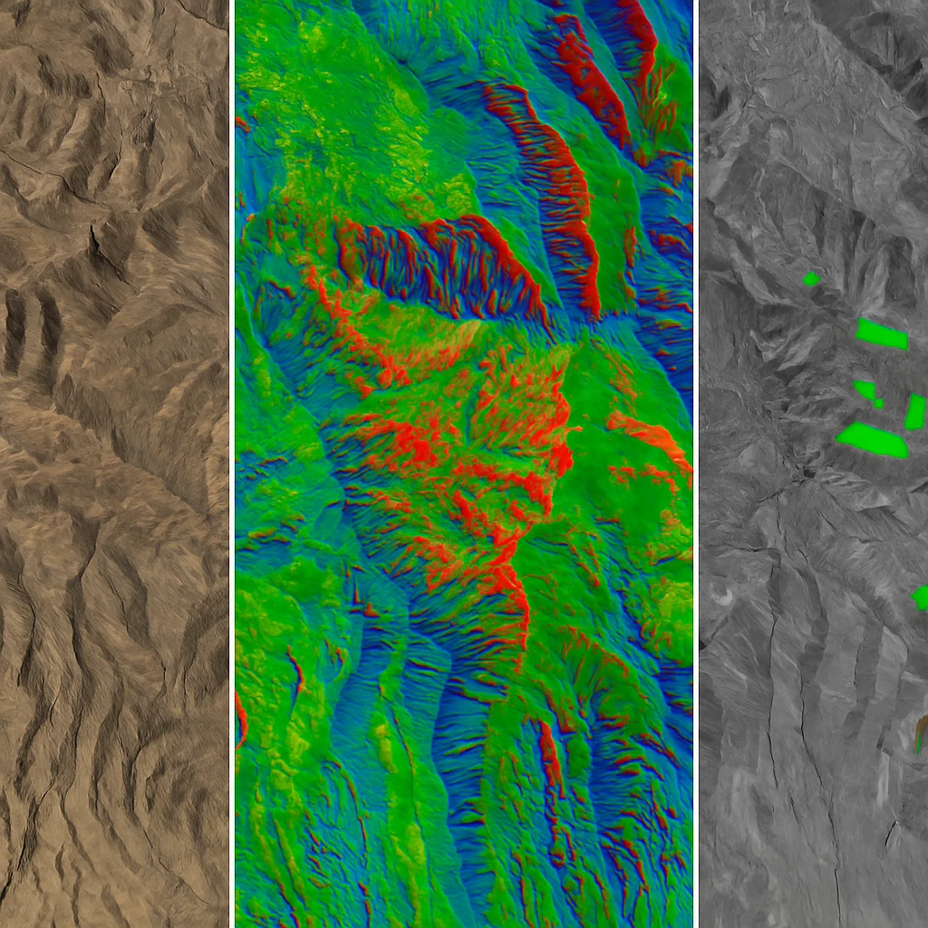
How Orthorectification Works
Orthorectification combines three key ingredients:
Raw image data – the original satellite capture.
RPCs (Rational Polynomial Coefficients) – metadata that describes the relationship between image pixels and their ground coordinates.
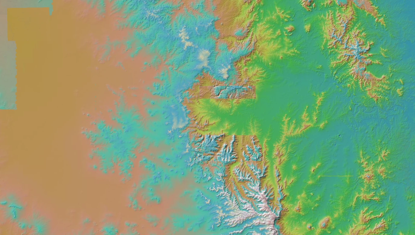
A DEM (Digital Elevation Model) – terrain information that accounts for height variations.
Here’s how they come together:
Pixel-to-ground mapping: The RPCs provide a mathematical model that links each pixel to a location on Earth.
Terrain correction: The DEM adjusts those positions for elevation, ensuring that mountains, valleys, and slopes appear in their correct places.
Resampling: The imagery is then resampled into a consistent grid, aligned to a chosen map projection.
The outcome is a geometrically corrected image where spatial relationships are reliable, and where features align seamlessly with maps, plans, and other geospatial data.
Doing It Yourself with GDAL
For those who want to try orthorectification directly, the open-source GDAL (Geospatial Data Abstraction Library) provides powerful tools. Using the gdalwarp utility, an image can be orthorectified by applying its RPCs and a DEM:
gdalwarp -rpc -to RPC_DEM=dem.tif raw_image.tif ortho_image.tifHere:
-rpc applies the Rational Polynomial Coefficients from the image metadata.
-to RPC_DEM=dem.tif specifies the terrain model used for elevation correction.
The output file (ortho_image.tif) is the orthorectified product.
While this demonstrates that orthorectification can be performed with open tools, real-world use cases introduce additional challenges. Selecting an appropriate DEM, balancing resampling methods, validating accuracy, and processing large datasets efficiently all require expertise and infrastructure.
Why GeoPera Handles This For You
At GeoPera, we believe orthorectification should be invisible to the end user. Every image we deliver is automatically corrected, so you can focus on your project rather than the preprocessing behind it.
All GeoPera imagery comes fully orthorectified, using either our own high-quality DEMs or user-supplied elevation models and ground control data when available.
Delivered projection-ready for use in GIS, CAD, and analytics platforms, our imagery is immediately usable—no need to source DEMs, configure GDAL commands, or manage complex processing workflows.
The result: satellite imagery you can trust from the moment you download or stream it. No need to wrangle DEMs, configure GDAL commands, or build processing pipelines.
The Takeaway
Raw satellite data is powerful, but unreliable for precision work until it has been orthorectified. The process ensures images line up with the real world, making them suitable for accurate measurement and analysis.
Yes, you can perform orthorectification yourself with tools like GDAL. But if you’d rather skip the complexity and access imagery that’s already corrected, aligned, and map-ready, GeoPera delivers it out of the box.
Related Articles
Why We Process Every Image
Discover how comprehensive satellite image processing transforms raw data into reliable, analysis-ready imagery.
Best Satellite Imagery for Every Application
Complete guide to selecting the optimal satellite imagery for your specific application needs and requirements.
The 5 Best Free Sources of Elevation Data in Australia
A comprehensive guide to finding and using free Digital Elevation Model (DEM) data sources in Australia.
