About Geopera

Our Mission
We make Earth Observation precise and reliable for the benefit of all. Geopera combines research-backed imagery processing with enterprise-grade data infrastructure to deliver high-quality satellite data - processed how you need it, when you need it.
We Simplify Data Access
We believe geospatial data should be accessible without complexity. As a leading imagery provider and processor, we make accessing satellite data easier, cheaper, and more efficient.
Transparency Is Our Foundation
We operate with complete transparency in our pricing and processes. Our customers only pay for what they use with clear, upfront costs.
Committed to Quality
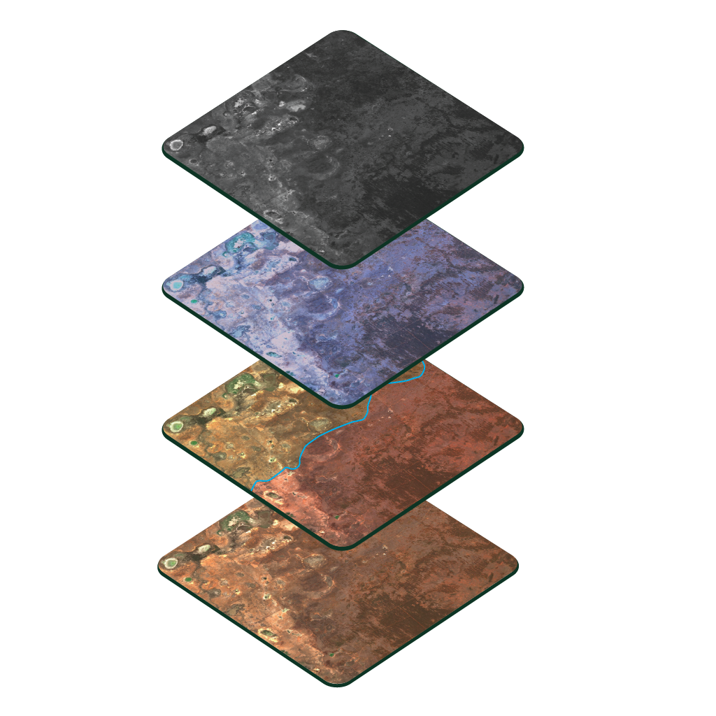
We deliver high precision and resolution data that ensures accuracy and reliability. Our comprehensive coverage across a wide range of data types - from optical to SAR, hyperspectral to stereo - provides the right tools for any geospatial challenge.
Data Should Work For Everyone
Earth Observation has the potential to solve critical global challenges. We're building a platform that makes powerful satellite data and analytics accessible to all organizations regardless of size.
"We chose to collaborate with Geopera because they consistently deliver high-quality mosaics and large-scale datasets with reliable processing against reference imagery—all with impressive turnaround times."
Let us show you how good satellite data can be
Explore our products or get in touch with our team to find the perfect solution for your geospatial needs.
