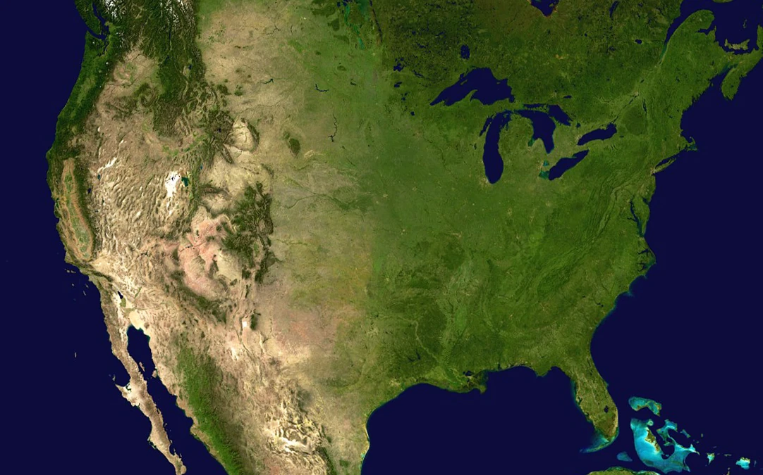
10 Best Free Sources of Satellite Data for the USA
A comprehensive list of the best free satellite data sources in the United States
Summary
Pera Portal: Unlimited free Sentinel-2 browsing with 45+ pre-configured spectral indices (NDVI, NDWI, EVI, etc.) viewable in-browser. Advanced band ratio calculations, zero setup required. Global coverage including comprehensive USA imagery. Plus access to 100+ commercial satellites for premium imagery when needed
USGS EarthExplorer: Best comprehensive archive for Landsat, aerial imagery, and historical satellite data across the USA
NASA Worldview: Best for near real-time satellite imagery and tracking environmental changes like wildfires and floods
NOAA Data Access Viewer: Best for coastal zones, ocean monitoring, and weather-related satellite data
Google Earth: Best for general purpose viewing and basic exploration of your property
Copernicus Data Space Ecosystem: Best for environmental monitoring and agricultural applications with frequent Sentinel updates
Zoom Earth: Best for near-current weather and environmental condition tracking across the USA
Maxar Open Data Program: Best for disaster response imagery during hurricanes, wildfires, and other emergencies
State & Local GIS Portals: Best for high-resolution local imagery and property boundary information
USDA CropScape: Best for agricultural land use data and crop classification across the USA
Overview
Looking for satellite images of your house in the United States? Want to view historical satellite imagery of your property for free? You’re in the right place.
This guide will help you explore the various sources of satellite data available in the USA, whether you want to view imagery directly in your browser or download data for further analysis.
Understanding Real-Time Satellite Imagery
Many people search for “live satellite view” or “real-time satellite images” of their house, but here’s the truth — despite what movies might suggest, live satellite imagery isn’t possible with current technology. What you see on mapping platforms is usually imagery captured weeks or even months ago.
What’s Available in the USA
If you’re searching for free satellite imagery in the USA, it’s important to understand what’s available:
- Most free satellite images are updated every few months to years.
- Free imagery generally has lower resolution (you can see buildings, but not detailed features).
- High-resolution imagery with clear details often requires a paid subscription.
- Real-time satellite imagery does exist but is typically limited to weather forecasting or emergency services.
Fortunately, the United States offers several excellent free sources of satellite data, including world-leading NASA and USGS platforms. Whether you are a property owner, researcher, or just curious, we’ll walk you through the best free and paid options available.
1. USGS EarthExplorer
USGS EarthExplorer is the premier platform for accessing free satellite imagery in the United States. Operated by the U.S. Geological Survey, it provides comprehensive access to Landsat data, aerial imagery, and historical archives.
Key Features:
- Complete Landsat archive dating back to 1972 — over 50 years of historical imagery.
- Free download of full-resolution satellite data.
- Advanced search filters by location, date, cloud cover, and satellite sensor.
- Access to ASTER, MODIS, and aerial photography collections.
- Ideal for researchers, environmental monitoring, and land use analysis.
2. NASA Worldview
NASA Worldview offers near real-time satellite imagery from NASA’s Earth Observing System. It’s exceptionally useful for tracking current environmental events like wildfires, hurricanes, and air quality.
Key Features:
- Near real-time imagery updated within hours of satellite passes.
- Interactive visualization of atmospheric conditions, fires, and weather patterns.
- Time-slider to view historical changes over days, months, or years.
- Multiple satellite sensors including MODIS, VIIRS, and Landsat.
- No registration required for basic browsing and visualization.
3. Pera Portal
Our Pera Portal provides completely free, unlimited access to Sentinel-2 satellite imagery with advanced analytical capabilities that surpass most free platforms.
Key Features:
- Unlimited free Sentinel-2 browsing with no registration walls or download limits.
- 45+ pre-configured spectral indices viewable instantly in your browser:
- NDVI (vegetation health)
- NDWI (water detection)
- EVI (enhanced vegetation index)
- SAVI, MSAVI, NDBI, and many more
- Custom band ratio calculations — create your own indices for specialized analysis.
- Zero setup required — view processed imagery immediately without downloading or installing software.
- Global coverage including comprehensive USA imagery updated every 5 days.
- Premium commercial imagery access — upgrade to browse 100+ commercial satellites with sub-meter resolution when you need more detail.
Unlike other platforms that require technical knowledge or large downloads, Pera Portal makes advanced satellite imagery analysis accessible to everyone — from farmers monitoring crop health to researchers tracking urban development.
4. NOAA Data Access Viewer
The NOAA Data Access Viewer is the go-to platform for coastal and oceanic satellite imagery, operated by the National Oceanic and Atmospheric Administration.
Key Features:
- Comprehensive coverage of U.S. coastal zones and Great Lakes.
- LiDAR elevation data and bathymetric (underwater) mapping.
- Storm surge modeling and coastal flood risk data.
- Frequent updates for weather monitoring and marine applications.
- Free download of high-quality datasets for coastal research.
5. Google Earth
Google Earth provides high-resolution satellite imagery across the United States. It’s the easiest platform for casual users who want to view satellite images of their house without technical complexity.
Key Features:
- Simple, intuitive interface accessible from any web browser.
- Historical imagery slider to view changes over time (dating back to the 1980s in some areas).
- 3D terrain visualization and building models.
- Integration with Street View for ground-level perspectives.
- Not suitable for downloading raw satellite data or technical analysis.
6. Copernicus Data Space Ecosystem
The European Union’s Copernicus program offers free, high-quality Sentinel satellite data with global coverage including the entire United States.
Key Features:
- Sentinel-2 imagery updated every 5 days with 10-meter resolution.
- Sentinel-1 radar data for all-weather monitoring.
- Free access without download limits or registration barriers.
- Ideal for agricultural monitoring, forestry, and environmental research.
- Cloud-based visualization and download options.
7. Zoom Earth
Zoom Earth provides frequently updated satellite imagery, focusing on weather patterns and environmental conditions across the USA.
Key Features:
- Near-current weather and storm tracking.
- Updated multiple times daily with latest satellite passes.
- Simple interface for tracking hurricanes, wildfires, and severe weather.
- Time-lapse animations showing storm development.
- No registration required for basic viewing.
8. Maxar Open Data Program
Maxar offers high-resolution commercial satellite imagery for free during natural disasters and emergencies in the United States.
Key Features:
- Sub-meter resolution imagery during hurricanes, wildfires, and floods.
- Released within 24-48 hours of disaster events.
- Critical for emergency response and damage assessment.
- Partnerships with FEMA and humanitarian organizations.
- Before-and-after imagery for disaster recovery planning.
9. State & Local GIS Portals
Many U.S. states and counties provide their own high-resolution aerial imagery and satellite data through dedicated GIS portals:
- California: Cal-Atlas
- Texas: Texas Natural Resources Information System
- Florida: Florida Geographic Data Library
- New York: NYS GIS Clearinghouse
- Colorado: Colorado Information Marketplace
Many counties also offer aerial imagery through their assessor or planning department websites — often with higher resolution and more frequent updates than national platforms.
10. USDA CropScape
USDA CropScape is a specialized platform from the U.S. Department of Agriculture providing satellite-derived crop data and agricultural land use information.
Key Features:
- Annual Cropland Data Layer (CDL) covering all agricultural regions of the USA.
- Detailed crop type classification (corn, soybeans, wheat, cotton, etc.).
- Historical data dating back to 1997 for tracking agricultural trends.
- Free downloads of raster and vector data for analysis.
- Interactive web interface for visualizing crop patterns.
- Essential for farmers, agricultural researchers, and land use planners.
- Updated annually with the latest growing season data.
Tips for Making the Most of Free Satellite Imagery Platforms
1. Find the Right Platforms. We’ve highlighted some of the best satellite data providers, but there are many more out there. Starting with the platforms above will save you time and ensure a smoother experience.
2. Understand Platform Capabilities. Each platform offers unique features. Familiarise yourself with their resolution, data quality, and update frequency to match your project’s needs.
3. Define Your Requirements. Specify what you need — the area of interest, time range, spatial resolution, and spectral bands — and use search filters to narrow down the results.
4. Use Visualisation Tools. Many platforms provide built-in tools to help you explore and analyse the data. Pera Portal’s spectral index capabilities, for example, can provide deeper insights without needing external software or technical expertise.
5. Be Selective with Downloads. Rather than downloading full datasets, focus on specific tiles or areas of interest to save time and storage space. For many use cases, cloud-based platforms like Pera Portal eliminate the need for downloads entirely.
By following these tips, you’ll be able to make the most of the available satellite imagery resources in the USA, whether you’re conducting research, evaluating property, or monitoring environmental changes.
When Free Satellite Data Isn’t Enough
Free platforms cover an enormous range of uses — and if you’re simply curious about your own property, they’re genuinely all you’ll ever need. But if you’re using imagery professionally, you’ll eventually hit the resolution wall:
| Source | Resolution | What you can actually see |
|---|---|---|
| Landsat (free) | 30 m | Regional land cover — a football field is roughly one pixel |
| Sentinel-2 (free) | 10 m | Field-scale vegetation patterns; buildings are blurs |
| Commercial (Geopera) | up to 30 cm | Individual vehicles, fence lines, equipment, single trees |
The difference matters the moment you need to measure rather than look: documenting construction progress for a draw inspection, assessing storm damage parcel-by-parcel for claims, monitoring crops by the row rather than by the county, or proving site conditions on a specific date. Free sensors also can’t be tasked — if no satellite happened to capture your site cloud-free in the window you care about, there’s nothing to download.
Commercial imagery used to mean opaque quotes and weeks of back-and-forth. We publish transparent per-square-kilometre pricing for both tasking and archive, and every order arrives analysis-ready — orthorectified, pansharpened, color-balanced and mosaicked (here’s exactly what that involves).
If free data has taken your project as far as it can go, explore available imagery through Pera Portal or get in touch to discuss your project.
Related Articles
Google Earth vs Commercial Satellite Imagery
A Comparison on the differences between Google earth and Commercial Imagery
10 Best Free Sources of Satellite Data for Canada
Discover the best free satellite data sources available for Canadian projects and research.
10 Best Free Sources of Satellite Data for Australia
Discover the best free satellite data sources available for Australian projects and research.
