
Infrastructure
Imagery for sites, corridors and networks
Construction sites, rail and road alignments, ports and utility networks. Order an area from 30cm to 2m, see the price before you commit, and get it back orthorectified and mosaicked, typically within 24 hours of collection.
Capabilities
Where imagery earns its place on a project
Construction progress
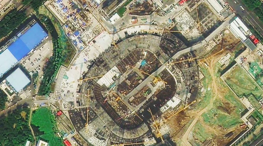
Order the same area of interest on a repeating interval and hold a dated series of the site. Earthworks, slab pours, crane positions and laydown yards as they stood on each capture date.
Corridor mapping
A rail, road or utility alignment is a long thin shape, not a rectangle. Draw or upload the corridor as your area of interest and pay for that area rather than the bounding box around it.
Asset condition context
Imagery from 30cm to 2m over a bridge, port, dam or road network shows the setting an inspection happens in: access, scour and sediment, encroachment, stockpiles that were not there last time.
Urban change
Change detection compares two acquisitions over the same area and segments what differs into objects. The models are pre-trained, so there is no labelling step before you can run it.
CONSTRUCTION PROGRESS
A dated record of the site, not a claim about it
Set a repeating order over the site in the Tasking Studio and each capture arrives processed and dated. Where the archive already holds the earlier part of the build, you can order those dates too and backfill the record. Because the imagery is collected by a satellite rather than supplied by the party being asked about, the same series answers a progress claim, a variation and a delay argument.
See what an area costs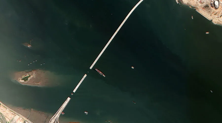
CORRIDOR MAPPING
One orthorectified image along the whole alignment
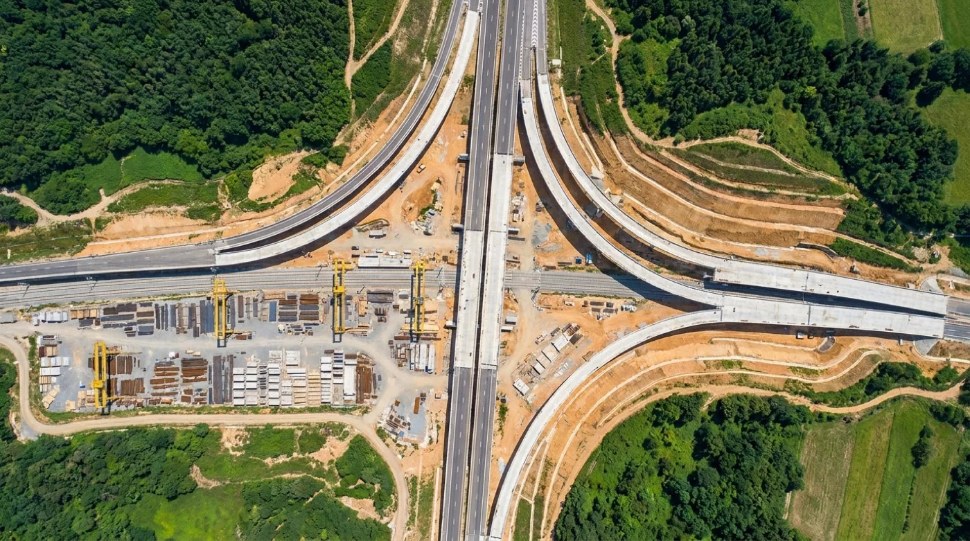
A rail, road or utility alignment crosses more scenes than any single capture covers. Every order runs the same automated chain, orthorectification, pansharpening, atmospheric correction, colour balancing and mosaicing, with nothing manual between stages. The alignment arrives as one georeferenced image you can measure and digitise on, rather than a folder of tiles to stitch and colour match by hand.
See how Legato works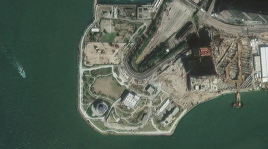
ASSET CONDITION CONTEXT
Where imagery helps with condition, and where it stops
Satellite imagery will not tell you that a bearing has failed or that a weld has cracked. It will tell you what has changed around the asset since the last look: access roads, scour and sediment plumes, vegetation against a structure, stockpiles and laydown that appeared without a permit. That is enough to decide where crews go first. The condition call stays with the people who inspect it.
Talk about an asset list
URBAN CHANGE
Find what was built between two dates
Change detection in Pera Portal compares two acquisitions over the same area and returns what differs, segmented into discrete objects. The models are pre-trained, so there is no data labelling or training run before the first result. Across a growth corridor, a council area or a utility service area, that is a way to surface new construction, clearing and land-use change without reading every tile by eye.
How the analytics workQuestions and limits
What engineers and project managers ask before they order
- Can the area of interest follow an alignment instead of a bounding box?
- Yes. An area of interest is a polygon you draw or upload, so it can trace a rail, road or utility corridor. Pricing is per area of interest rather than per capture, so a route that takes six scenes to cover costs the same as one that takes a single scene.
- How often can we get the same site back?
- As often as the sensors revisit it and the sky is clear enough. A repeating order in the Tasking Studio collects on the interval your reporting runs on, with the collection window and the price shown before you commit. Processing after collection is typically inside 24 hours.
- What resolution does a construction site need?
- It depends what you are trying to settle, so look before you buy. The archive filters by resolution from 30cm to 2m and previews the actual capture over your site, so you can judge whether the coarser tier resolves what matters or whether the site needs the sharpest product available on that date.
- Does this replace inspection or survey?
- No. Optical imagery gives you the state of the surface on a date, at the resolution you ordered. It does not measure a crack, and it does not stand in for a survey control network. It is the layer that tells inspection and survey where to spend their time first.
- How does the data reach our project systems?
- Deliveries are Cloud Optimized GeoTIFFs, so a corridor opens in QGIS or ArcGIS without a conversion step and without loading the whole file. If the imagery has to sit under a design model or a project dashboard, stream it as WMTS or XYZ tiles with an API key rather than copying files around, and query the catalogue as STAC 1.0 GeoJSON when orders need to be pulled programmatically.
Get started
Bring us the site boundary you already have
Draw the site or corridor in Pera Portal, or upload the boundary you already use on the project, and you get the price and every archive capture over it before you order anything.