
Satellite Imagery for Mining & Resources
Mining & Resources
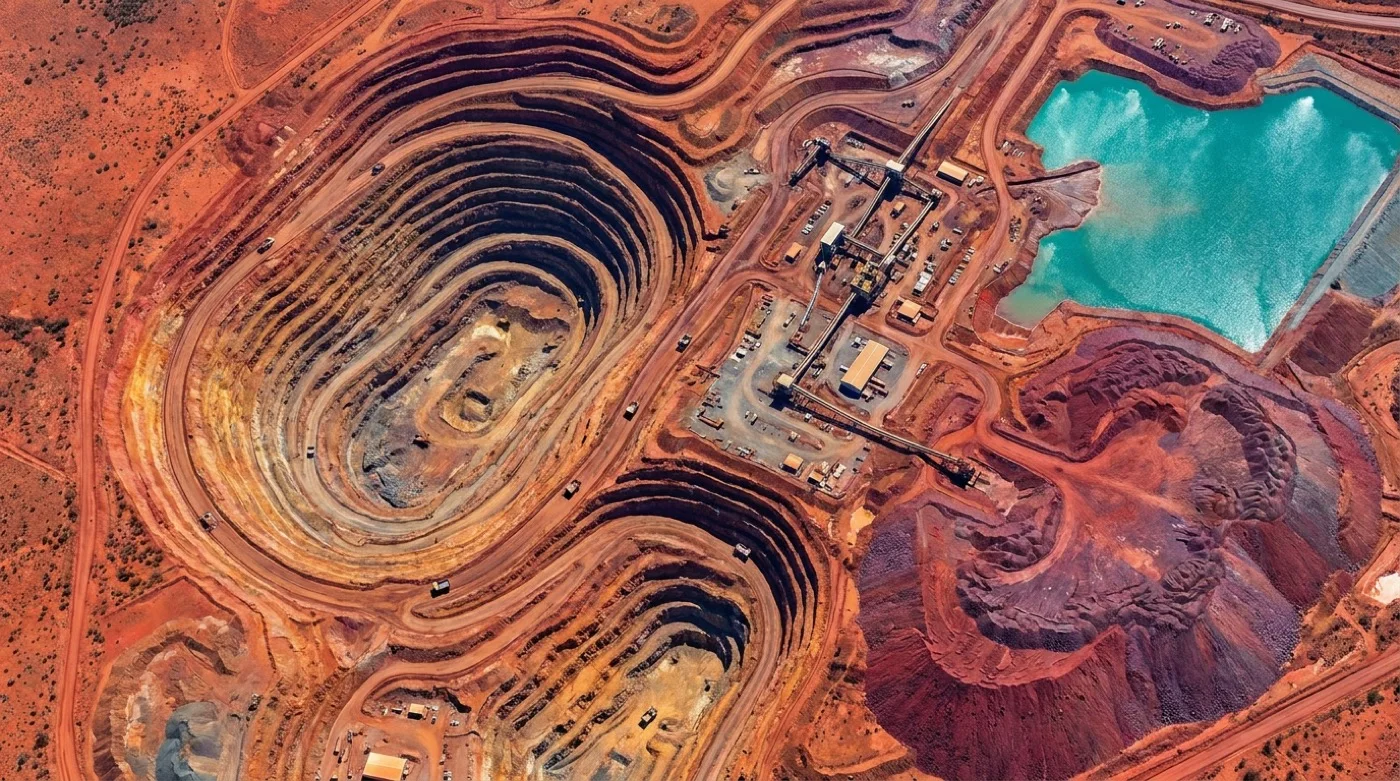
Optimise mining operations with satellite imagery
Monitor ground disturbance, target exploration with SWIR, and document rehabilitation for regulators, with analysis-ready imagery over your tenements.
Optical, SWIR, and hyperspectral from 100+ sensors, delivered analysis-ready in under 24 hours.
Capabilities
Monitor, explore, and report across the mine lifecycle
Monitor ground disturbance
Track and measure surface changes over time with high-resolution satellite imagery, to document disturbance against approved boundaries
Enhance exploration with SWIR
Use shortwave infrared imaging to identify mineral signatures and geological features for more targeted exploration
Assess rehabilitation progress
Monitor and document revegetation and site restoration with time-series data for compliance reporting and stakeholder communication
TERRAIN ANALYSIS
Assess the site before breaking ground
Analyse terrain conditions, estimate overburden, and identify potential hazards with high-resolution satellite data. Elevation models and surface composition mapping before the first site visit.
Explore capabilities
DISTURBANCE MONITORING
Track and document all surface changes
Maintain records of site disturbance with regular satellite monitoring. Document pre-mining conditions, operational changes, and rehabilitation progress in one place. Use the record for compliance reporting and stakeholder updates.
View monitoring tools
MINERAL EXPLORATION
Enhance discovery with specialised imaging
Use shortwave infrared (SWIR) and hyperspectral imagery to map alteration minerals and geological features. Optimise drilling locations and prioritise high-potential zones from the spectral response of surface materials.
Learn about SWIR
COMPLIANCE REPORTING
Streamline environmental reporting requirements
Document rehabilitation progress, water management, and disturbance boundaries from dated satellite records. Reduce site visits and create consistent documentation for regulators with automated monitoring alerts.
See reporting optionsLet us show you how good satellite data can be
Get a demo or talk to our team about your satellite imagery needs.