
Satellite imagery for agriculture
Agriculture
Monitor crops with satellite data
Track crop health, estimate yield, and plan inputs across your fields.
Optical, hyperspectral, and SWIR from 100+ sensors, delivered analysis-ready in under 24 hours. See per-km² pricing.
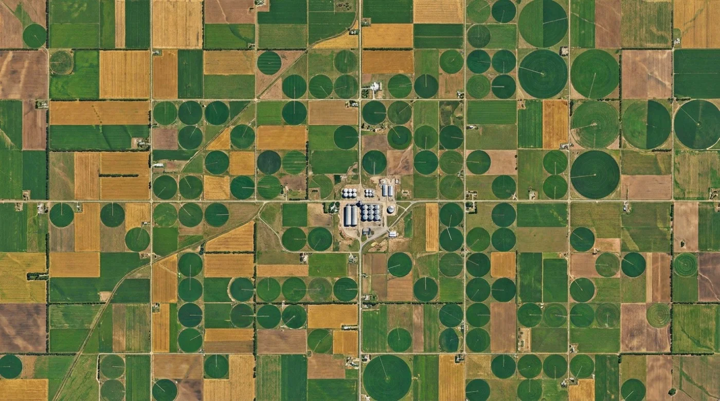
Capabilities
Your precision agriculture toolkit
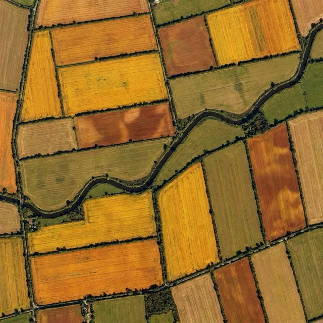
Crop monitoring
Track crop health and detect stress patterns with regular satellite monitoring
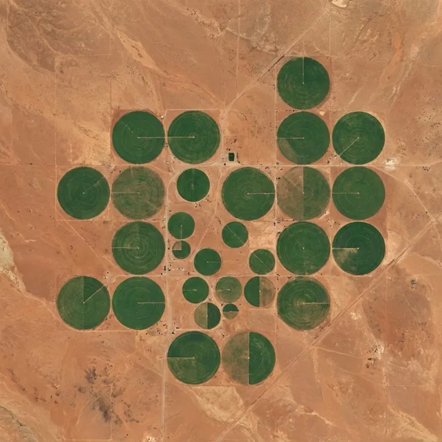
Yield forecasting
Estimate yield from time-series vegetation indices and field condition data

Field analytics
Optimise irrigation and fertiliser use with precision field mapping

Growth tracking
Monitor crop development stages and time interventions
ORDER TRACKING
Get full visibility on your order progress
Always know the status of your imagery orders. Track costs and keep budgets under control. Know when your imagery will be delivered with accurate ETAs.
View on Portal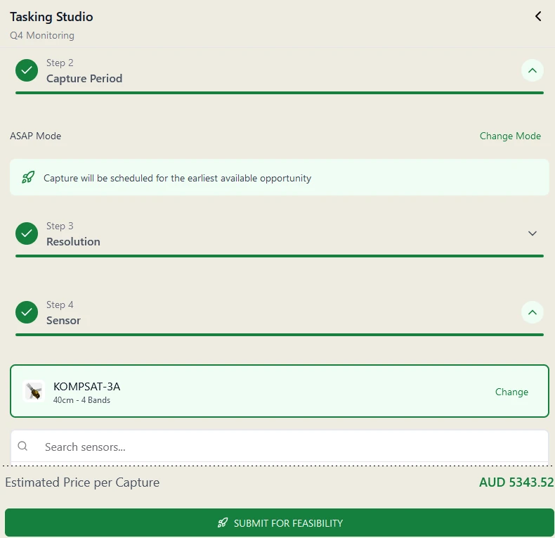
INSTANT QUOTES
Get imagery prices, instantly
Never be in doubt about how much your data costs with our flat rate pricing where you only pay for what you use. With Pera Portal's Tasking Studio & Instant Archive pricing know your costs up front.
View pricing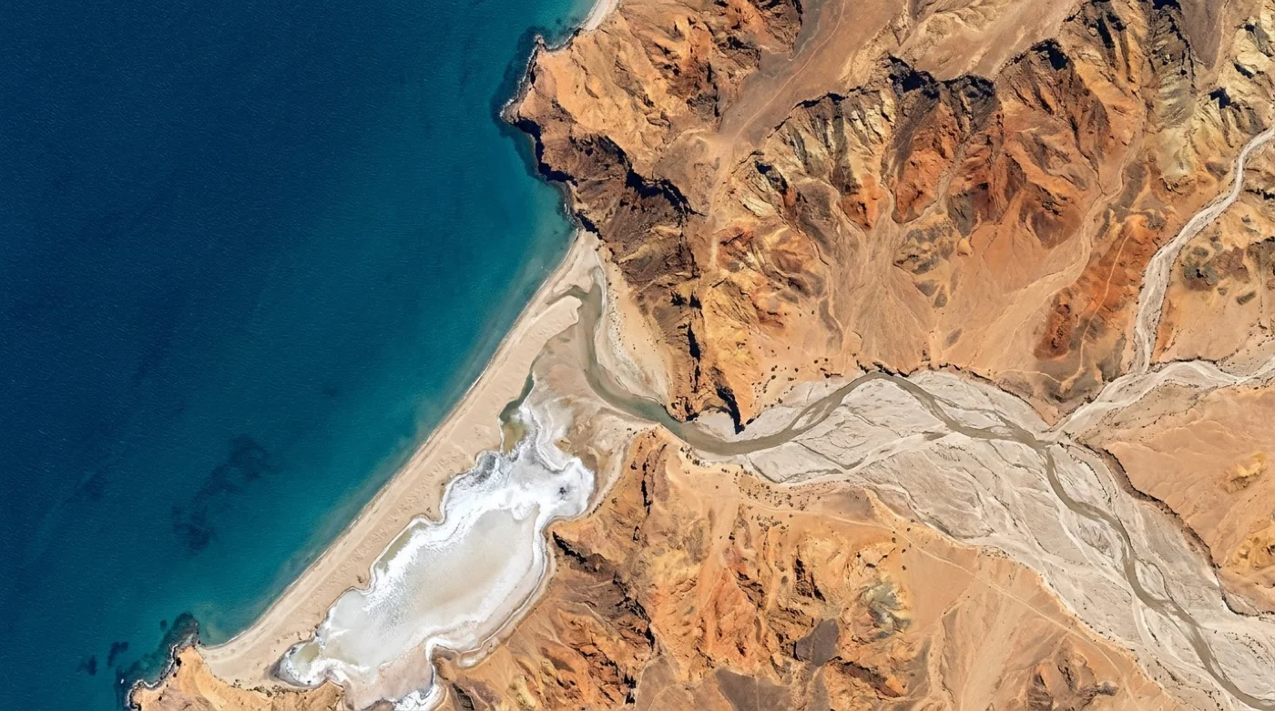
ARCHIVE IMAGERY
Access a vast archive of satellite data
Search archive imagery from 100+ satellites in one place: filter by resolution, date, and cloud cover, preview every capture over your AOI, and order only the scenes you need.
Explore archive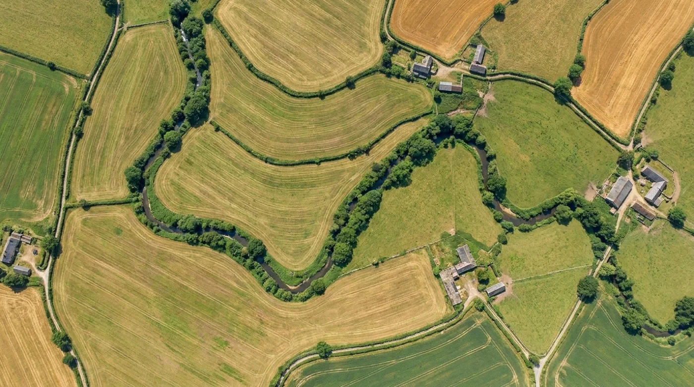
PREMIUM PROCESSING
Get the highest quality data faster with our Pipeline
Every order is delivered analysis-ready — orthorectified, pansharpened, colour-balanced and mosaicked by Geopera's automated pipeline, in the formats you need.
See how we do itGet started
Let us show you how good satellite data can be
Talk to our team about your satellite imagery needs.