
Satellite Imagery for Forestry Projects
Forestry
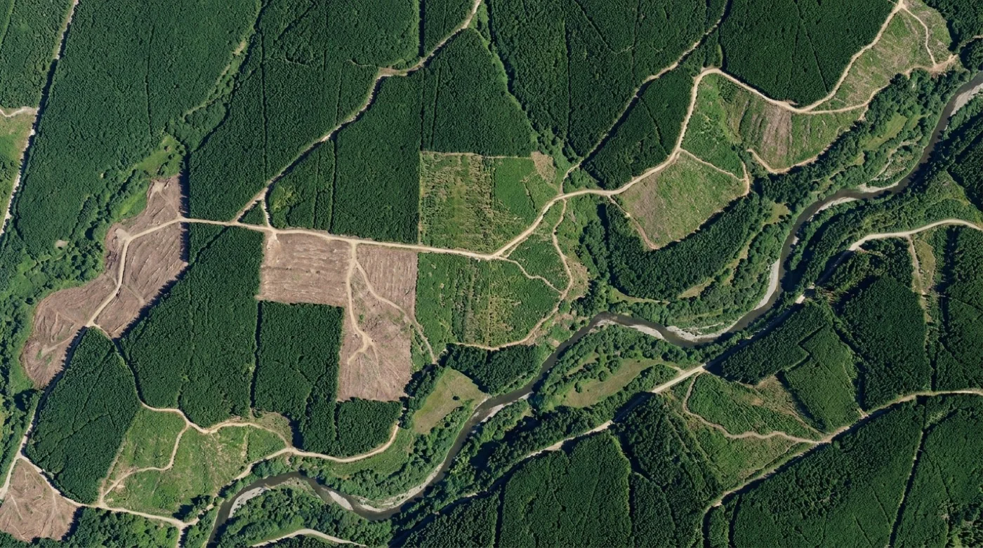
Optimise forest management with satellite data
Measure timber inventory, monitor forest health, detect illegal logging, and track reforestation across your estate.
Optical, hyperspectral, and SWIR from 100+ sensors, delivered analysis-ready in under 24 hours.
Capabilities
Inventory, health, and disturbance in one view

Forest inventory assessment
Use satellite imagery to measure forest characteristics and estimate timber volume.
Forest health monitoring
Detect stress, disease, and pest infestations from spectral signatures outside the visible range.

Illegal activity detection
Monitor forest disturbance and unauthorised activities with change detection.
FOREST ASSESSMENT
Map forest inventory with precision
Identify tree species, measure canopy height, and estimate timber volume with multi-spectral and hyperspectral imagery. Quantify forest structure and composition for inventory management.
Explore capabilities
HEALTH ASSESSMENT
Detect forest health issues with hyperspectral data
Identify signs of disease, pest infestations, and drought stress using spectral signatures. Monitor nutrient deficiencies and physiological stress indicators in bands outside the visible range.
Get data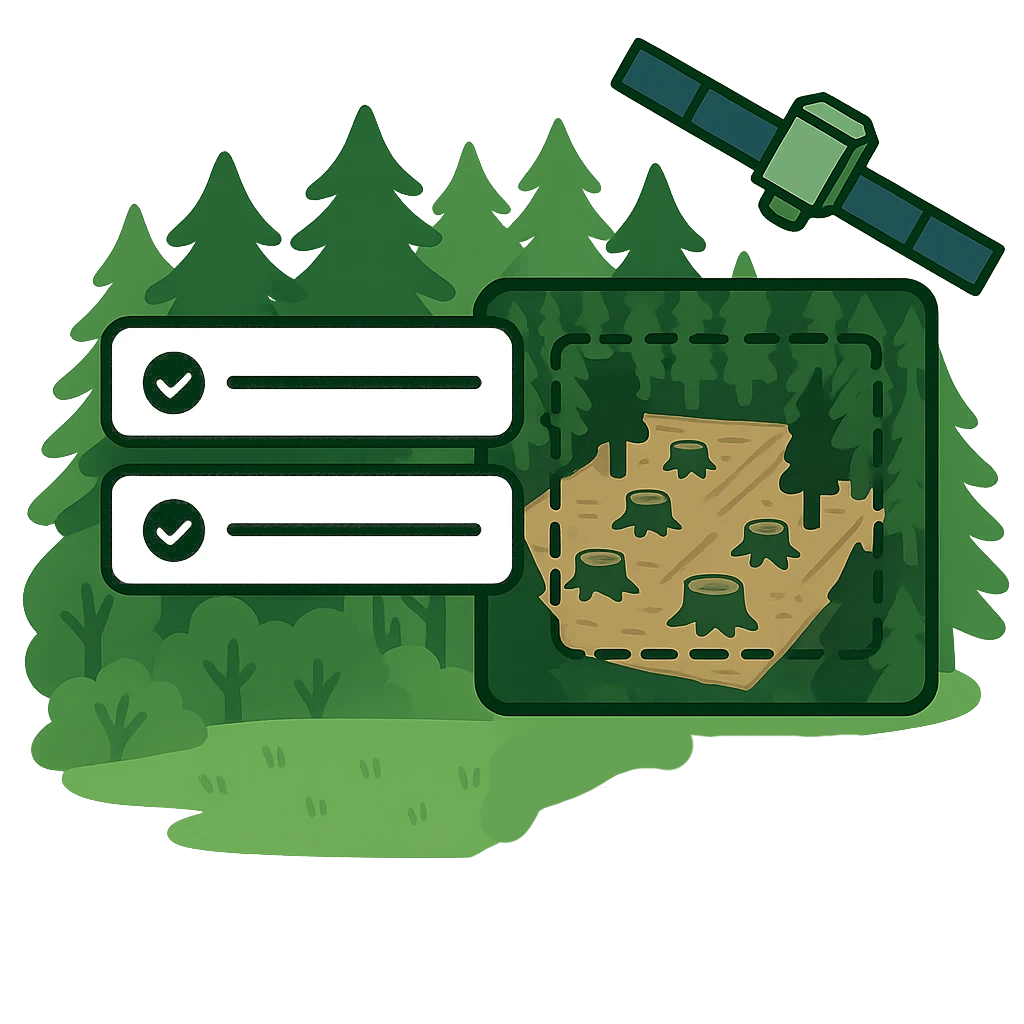
SECURITY & COMPLIANCE
Monitor forest disturbance and illegal activities
Detect unauthorised logging, encroachment, and forest conversion events with rapid change detection. Know when tree cover loss is detected and track historical patterns of disturbance across your forestry assets.
Get monitoring solutions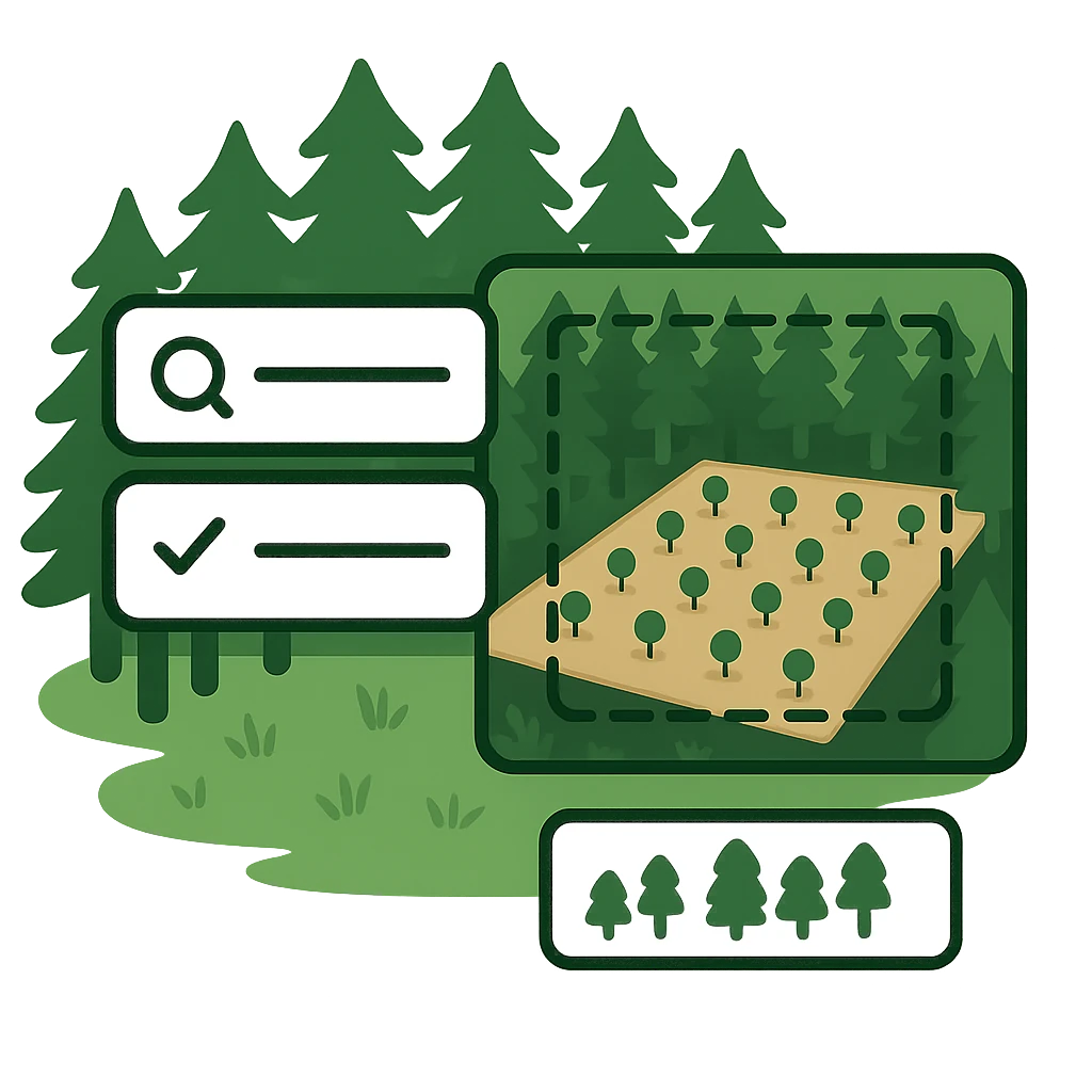
PROJECT TRACKING
Track reforestation success with time-series analysis
Document planting success, measure growth rates, and quantify canopy development with regular satellite monitoring. Build a dated image record of reforestation progress for stakeholders and certification reporting.
Get data for monitoringLet us show you how good satellite data can be
Get a demo or talk to our team about your satellite imagery needs.