
Energy
Imagery for corridors, routes and generation sites
Transmission easements, pipeline routes, solar and wind sites. Processed with Legato, every stage automated end to end, typically delivered within 24 hours and priced per area of interest before you order.
Capabilities
Four things an energy network asks of imagery
Transmission corridors
Draw or upload an area of interest that follows the easement instead of a rectangle around it. Price is per area of interest, so the number of captures needed to fill the corridor does not change what you pay.
Pipeline routes
A long route crosses more scenes than any single capture covers. Legato mosaics them into one product and colour balances across the joins, so the route reads as one image rather than a patchwork.
Solar and wind sites
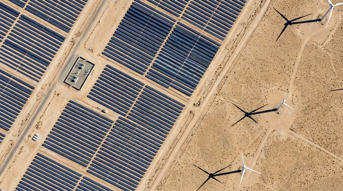
Dated captures of a generation site through construction and operation: array blocks as they go in, laydown areas, access tracks, and the ground around turbine pads and substations.
Vegetation encroachment
Run change detection between two acquisitions over the same span, or pull a vegetation index over the easement, to see where growth has advanced since the last look.
ARCHIVE AND TASKING
Start with what already exists, task only the gaps
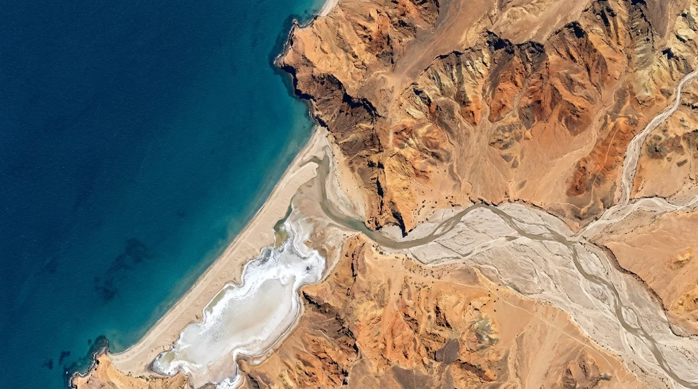
Search archive captures from 100+ satellites over the corridor first, filtered by date, resolution and cloud cover, and preview every capture before you order. Where the archive is thin or out of date, task a new collection in the Tasking Studio, or set it to repeat on the interval your network is reviewed on.
Search the archive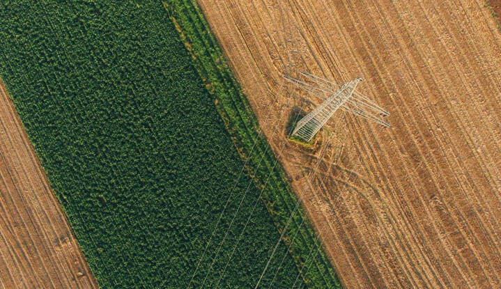
VEGETATION MANAGEMENT
See where vegetation has moved toward the conductors
Change detection compares two acquisitions over the same span and segments what differs, with no training data or labelling to prepare first. Pair it with a vegetation index over the easement to sort spans before crews are scheduled. The imagery shows you what changed; the call on what that means for the line stays with your engineers.
How the analytics work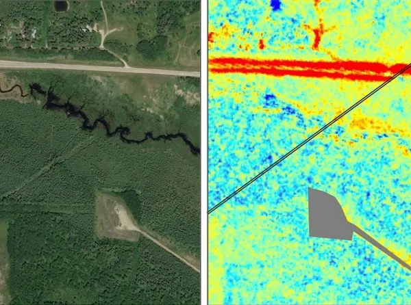
ROUTE PROCESSING
One seamless image along the whole route
Every order runs the same automated chain: orthorectification, pansharpening, atmospheric correction, colour balancing and mosaicing, with nothing manual between stages. A delivery only ships as processed once automated QC passes, at a seam colour difference of 0.5 dE or less, with geometry and radiometry checks and 100% clean coverage.
See how Legato works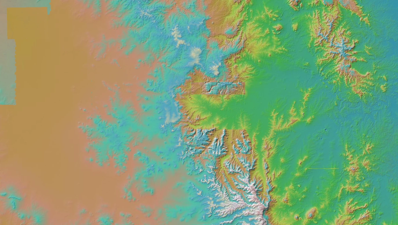
SITE AND ROUTE PLANNING
Check the ground before the survey team mobilises
Terrain, access tracks, watercourses and existing land use across a candidate solar, wind or substation site, ordered per area of interest so a shortlist can be compared for a known cost. Where you need elevation, stereo and tri-stereo capable sensors are available in the same catalogue.
Talk about a site listBefore you ask
What energy teams check first
- Can you cover a corridor that runs for hundreds of kilometres?
- Yes. An area of interest is a polygon you draw or upload, and it can follow the easement rather than sit in a bounding box around it. Pricing is per area of interest, not per capture, so covering the corridor with six scenes costs the same as covering it with one.
- How current is the imagery?
- Every archive capture carries its acquisition date, and you can filter and preview by date before ordering. If nothing recent enough exists, a tasking order collects new imagery over the route, with the collection window and the price shown in the Tasking Studio before you commit. Processing after collection is typically inside 24 hours.
- Will you tell us that a span is at risk?
- No, and we would rather say so. Geopera delivers the imagery and the analytics that run on it: change detection between two dates, and vegetation and water indices. Turning that into a risk rating for your network is your engineering judgement, or your asset system, and we are happy to feed either.
- What happens when the corridor sits under cloud?
- Our catalogue is optical, so a capture needs daylight and a clear enough sky. You can filter and preview the archive by cloud cover, and tasking is collected against a cloud requirement agreed up front. If your route sits under persistent cloud, raise it during scoping and we will tell you plainly whether optical is the right tool for it.
- How does the data reach our systems?
- Deliveries are Cloud Optimized GeoTIFFs. You can download them, stream them as WMTS or XYZ tiles straight into QGIS or ArcGIS with an API key, or query the catalogue as STAC 1.0 GeoJSON and pull orders programmatically.
Get started
Send us a corridor and we will scope it
Share the route or site and the interval you review it on, and we will come back with what the archive already holds and what tasking would cost.