
End-to-end satellite imagery processing with Legato, proven at scale
One real order
Fourteen captures in. One image out.
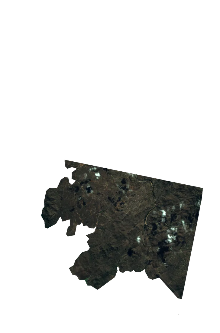
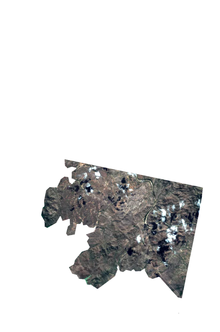
The Burdekin River delivery, replayed from its own files. Every layer is a real render, every polygon is the delivery's own metadata, and the registration numbers were measured on this order's captures.
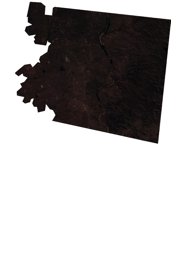
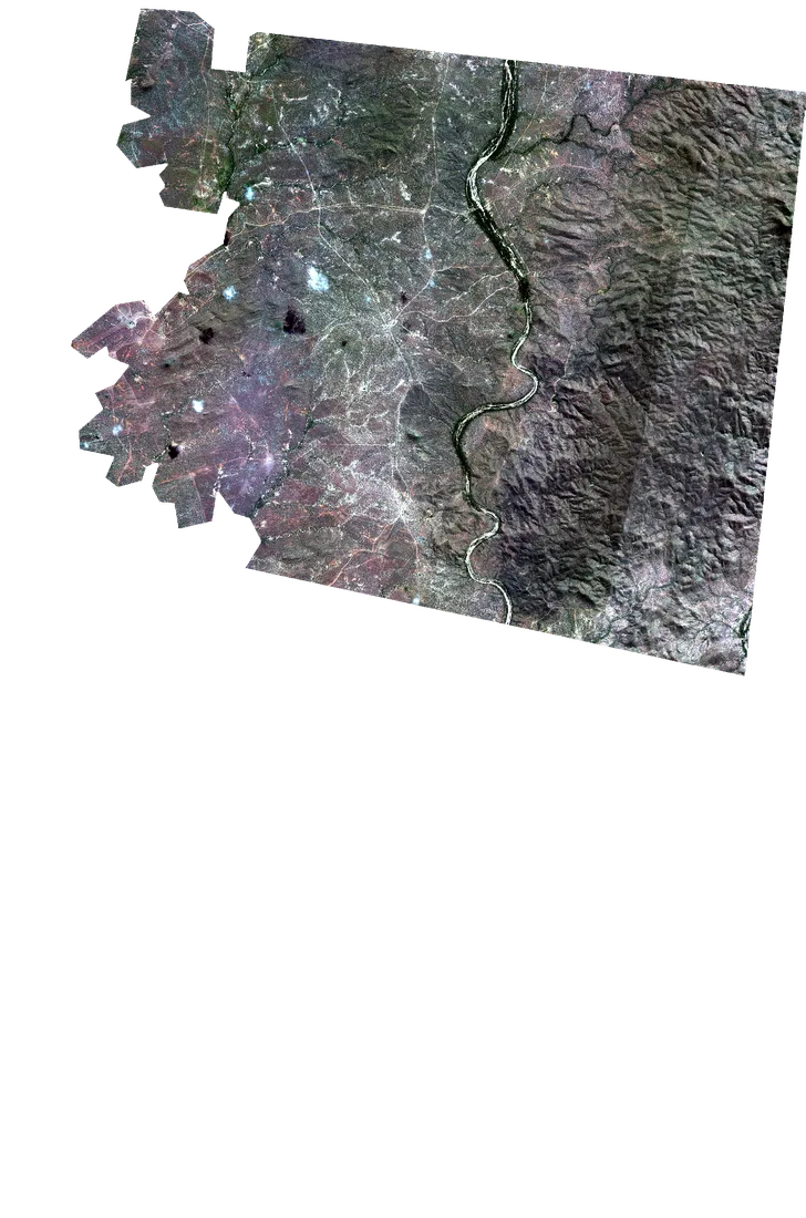
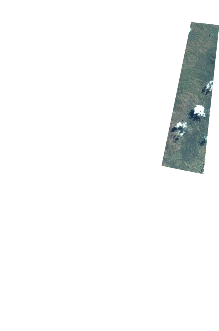
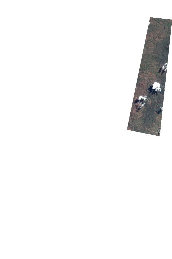
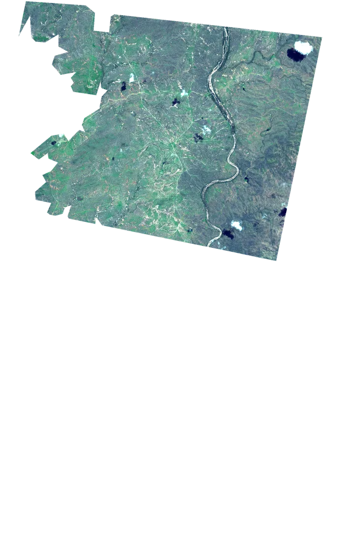
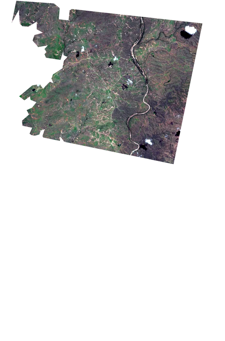
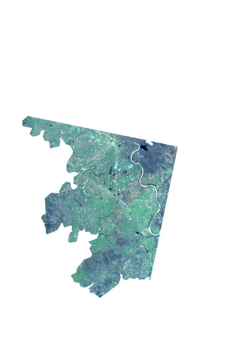
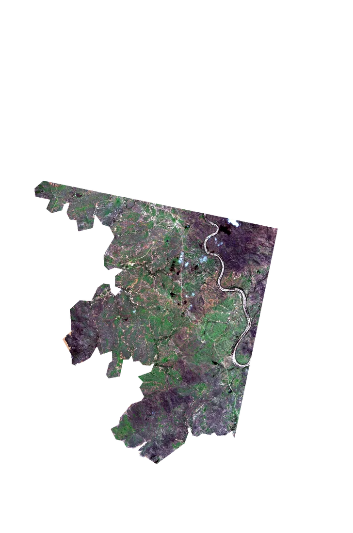
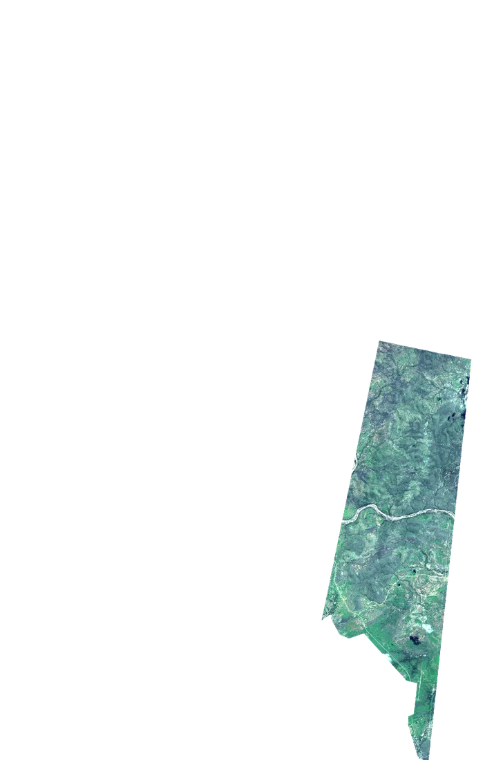
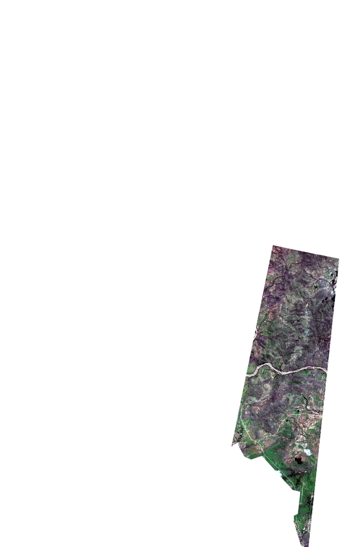
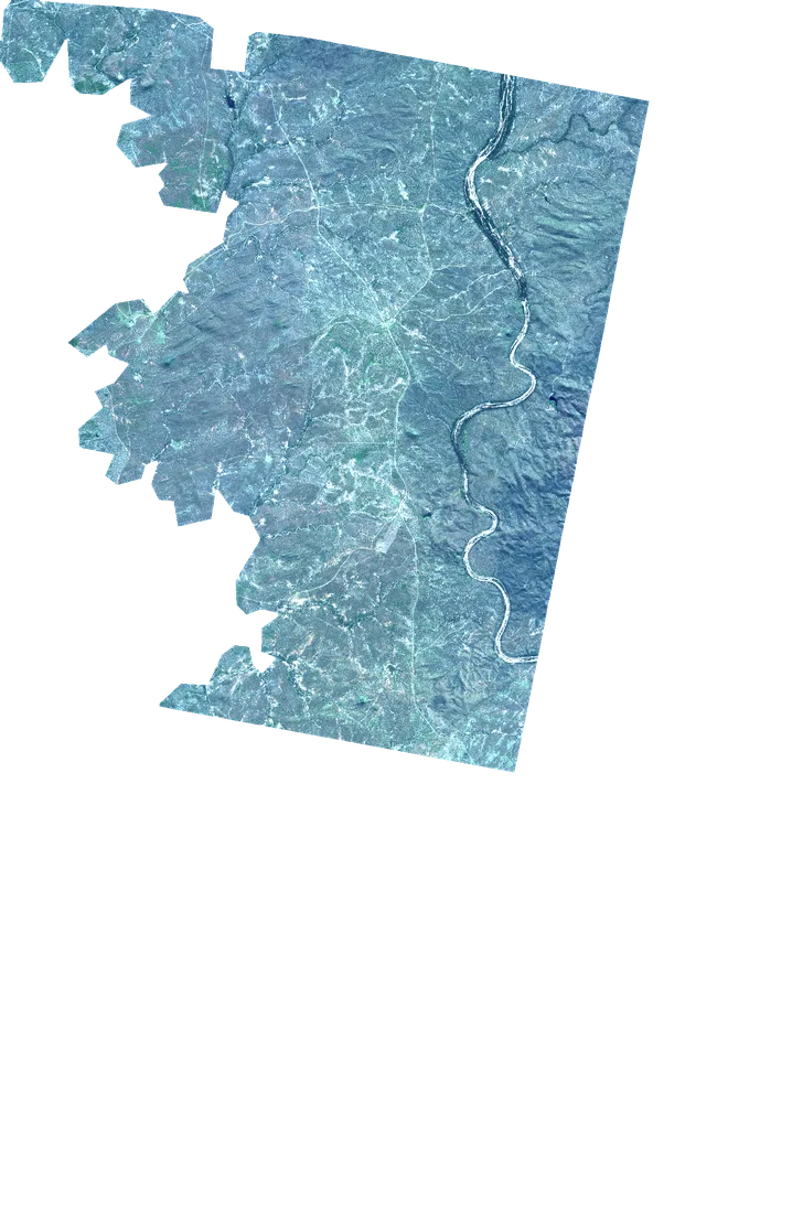
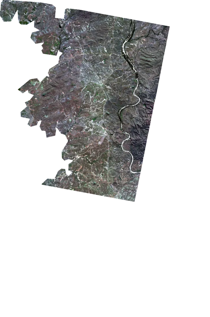
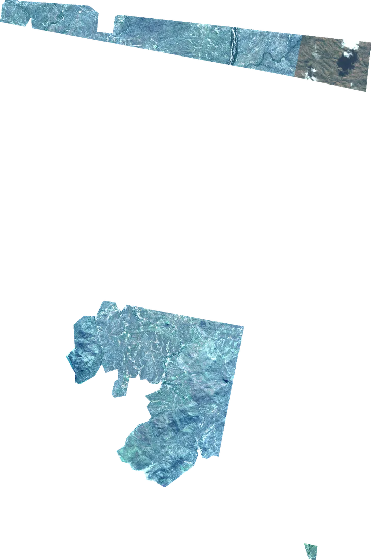
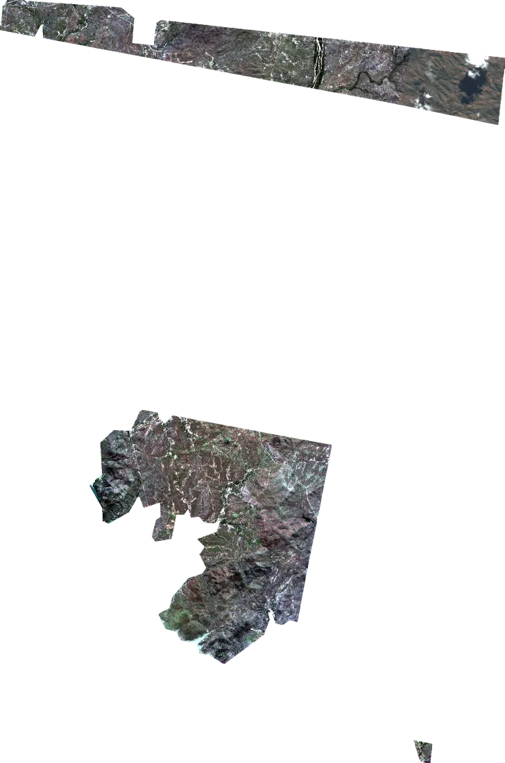
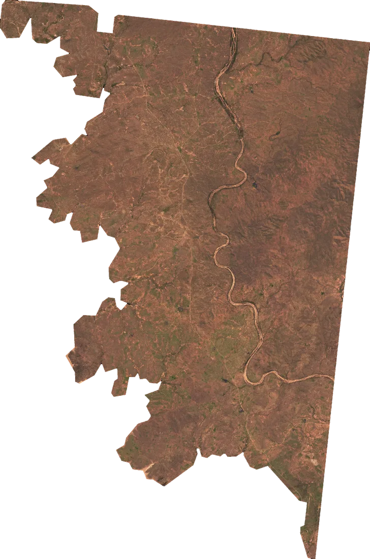
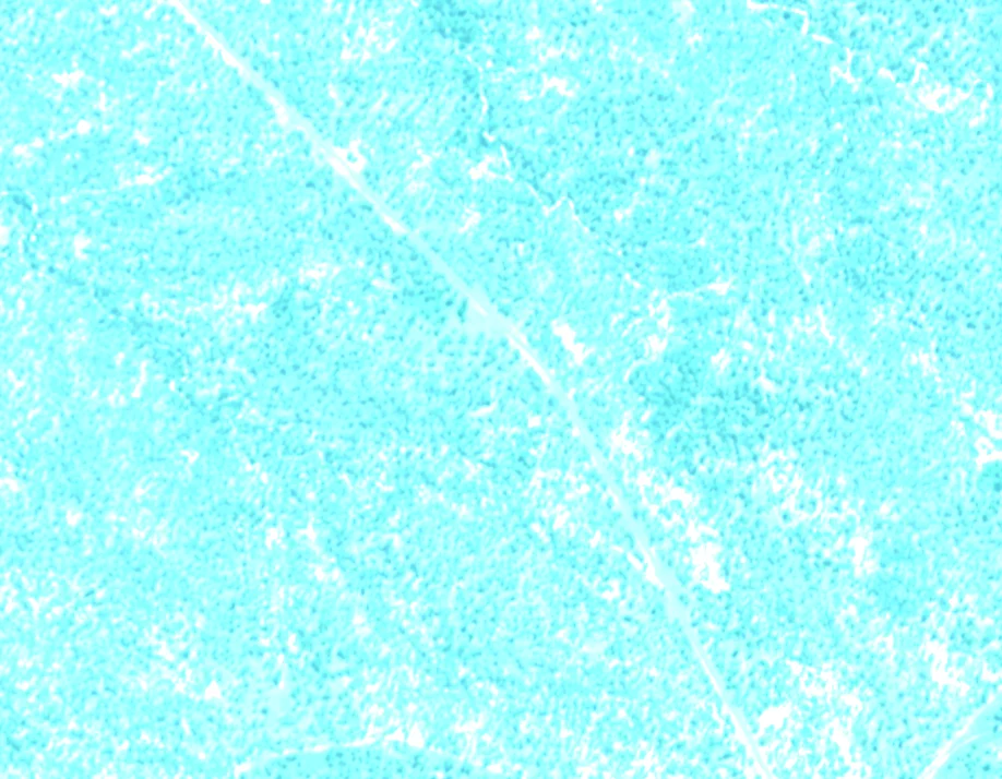
raw · captures 56.5 m apart registered · 1.1 m
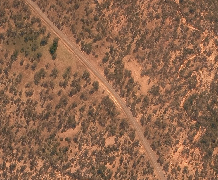
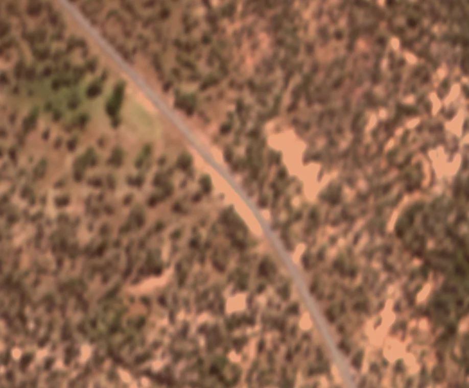
multispectral · 2 m pansharpened · 0.5 m
One real order over the Burdekin River, North Queensland: fourteen captures in, one image out. Press play to watch it assemble.
Burdekin River, North Queensland · 18 Feb + 12 May 2025 · 0.5 m · Processed by Geopera
The pipeline
How we process every order
01 / 08
Source capture & ingest
Captures come off the downlink as Level-1 products — 11-bit pixels in sensor geometry, with RPCs, ephemeris and calibration coefficients intact. Nothing is resampled until the geometry is solved.
- scenes in block
- 1 / 3
- gsd
- 0.30 m
- bands
- PAN + 4 × MS
- bit depth
- 11-bit