
WorldView 4
WorldView-4 operated from November 2016 until a control moment gyroscope failure in January 2019. Its 31cm archive, covering 2016 to 2019, remains orderable.
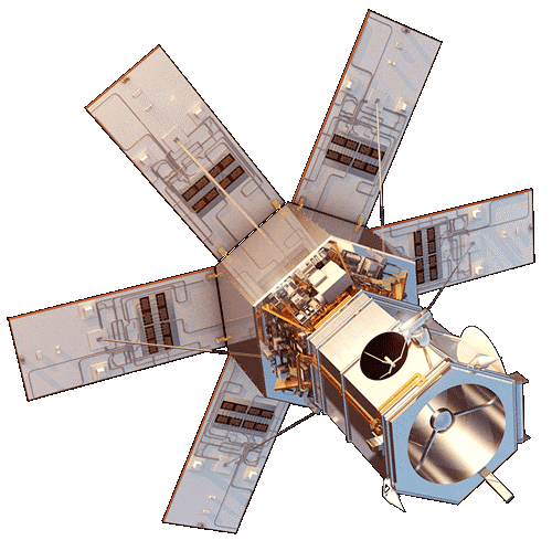
Technical specifications
What you can do with WorldView 4
Detail at 31cm GSD
At 31cm GSD, vehicles, road markings and individual roof structures stay separable. The panchromatic band carries that geometry, and the 1.2m GSD multispectral bands are pansharpened against it, so colour products hold the same detail.
Standard index bands
Blue, green, red and near-infrared cover the everyday products: true colour, colour infrared, and the indices built from red and near-infrared (NDVI) or green and near-infrared (NDWI). Those index rasters carry the 1.2m GSD multispectral sampling, not the 31cm GSD panchromatic figure.
Archive only
New collection is not possible with this sensor. What stays orderable is its archive, at 31cm GSD panchromatic and 1.2m GSD multispectral, which is how a site is seen as it looked while the satellite was flying.
Stereo for elevation
Stereo pairs are collectable, so elevation comes out of the imagery itself instead of a global model: building heights, stockpile and pit surfaces, the shape of structures on the site you ordered.