
WorldView 1
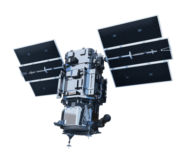
WorldView-1, which was launched on September 18, 2007, is a satellite that captures 50cm imagery covering 750,000 km² per day.
Technical specifications
What you can do with WorldView 1
Detail at 50cm GSD
At 50cm GSD, vehicles are countable, and building outlines, road furniture and single trees stay distinct.
Panchromatic only
One panchromatic band at 400-900 nm. There are no colour bands and no separate near-infrared band, so this sensor answers questions about shape, structure and change over time; spectral questions need a multispectral sensor alongside it.
One satellite collecting
Collection rests on a single spacecraft, so opportunities arrive on its orbit rather than on demand. As stated by the supplier: 750,000 km² per day of collection capacity. A large area of interest competes for that capacity with everything else in the queue.
Stereo for elevation
Stereo pairs are collectable, so elevation comes out of the imagery itself instead of a global model: building heights, stockpile and pit surfaces, the shape of structures on the site you ordered.