
Dragonette-1
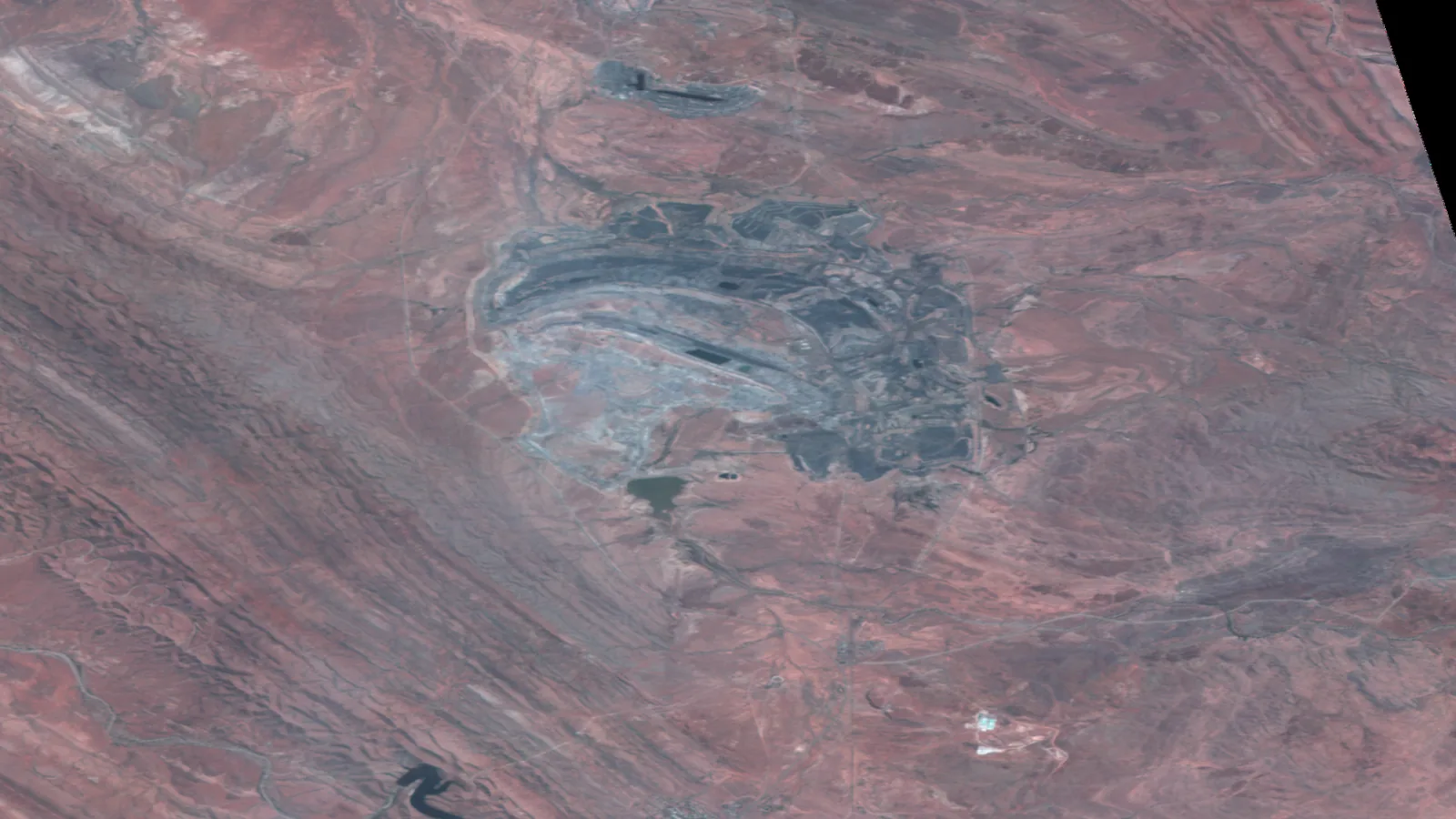
Dragonette-1 is Wyvern's hyperspectral imaging satellite. It collects 23 spectral bands between 503 and 799 nm at 5.3m resolution at nadir, across a 20km swath. Those 23 bands resolve narrow spectral features that 4-band multispectral sensors cannot separate.

Rate card
A$2 per km² from the archive
| Product | Archive per km² | Tasking per km² |
|---|---|---|
| Wyvern Dragonette 5.3 m · min width 2 km | A$2 whole scene | A$12 min 100 km² |
- Excl. tax, Australian dollars, processing included on optical orders.
- Smaller areas are billed at the minimum. Narrower parts are widened to the minimum width.
How it arrives
- Files
- Cloud-Optimised GeoTIFF with STAC metadata
- Processing
- Orthorectified, atmospherically corrected, full band stack
- Sign-off
- An analyst signs off every delivery
- Delivery
- Most orders within 24 hours, archive often the same day
Samples are by application: apply, a short call, then the sample.
Apply for a sample →Technical specifications
What you can do with Dragonette-1
Detail at 5.3m GSD
At 5.3m GSD, pattern at field, stand and catchment scale is what reads, rather than individual objects.
Material discrimination
23 narrow bands across 503 to 799 nm, each with its own stated width, keep the spectral shape that a four-band sensor averages into a single number. That shape is what separates surfaces sharing the same true colour: crop varieties, water condition, surface materials.
One satellite collecting
Collection rests on a single spacecraft, so opportunities arrive on its orbit rather than on demand. As stated by the supplier: 2.1 days revisit at equator, 1.0 days at 60° latitude. That is the cadence to plan against; a cloud-free result usually takes more than one opportunity.
Dynamic range
Quantised at 12 bits. The extra levels are what hold detail at both ends of a high-contrast scene, where bright surfaces and shadow would otherwise clip together.