High Resolution Satellite Imagery
Satellite Data,
Geopera combines research backed imagery processing with enterprise-grade data infrastructure to deliver high-quality satellite data processed how you need it, when you need it.
Trusted by
Here's how it works
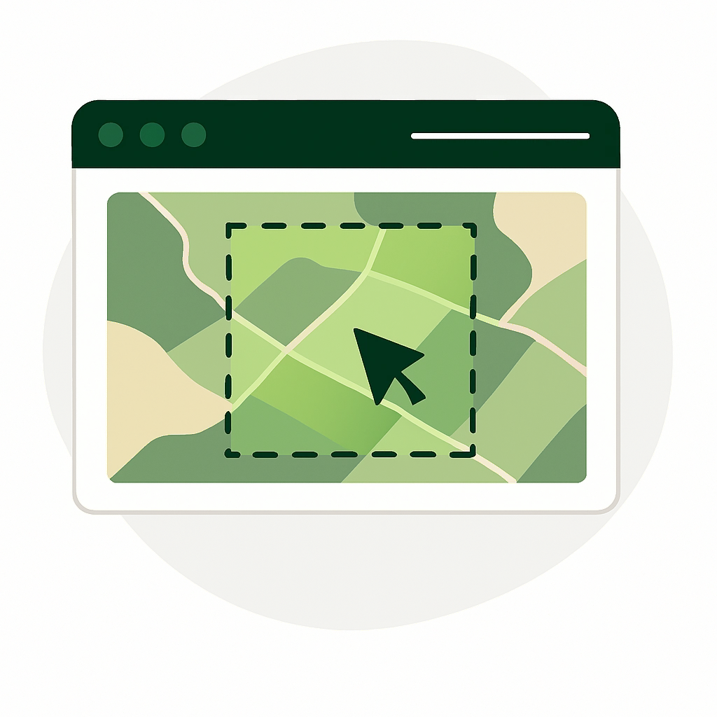
1. Define
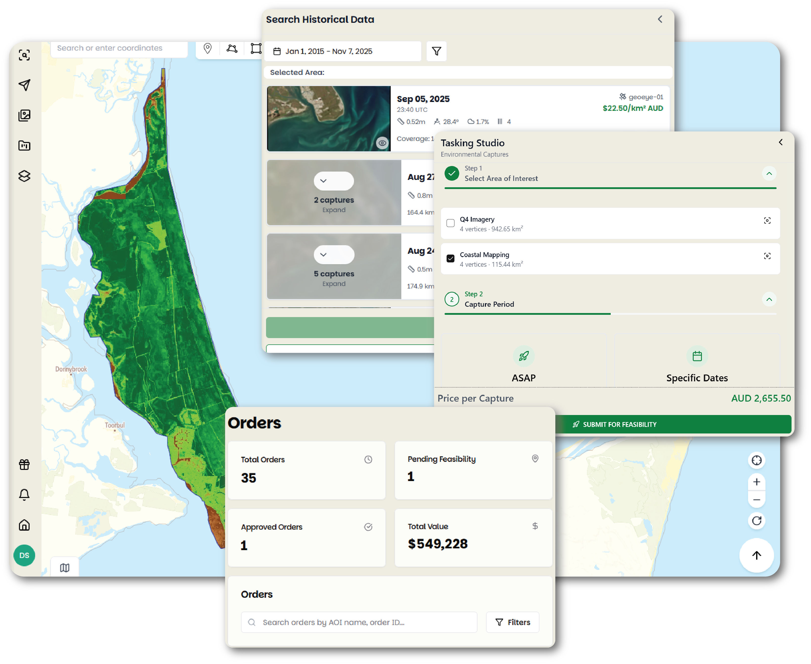
Draw or upload your areas of interest for your project in Pera Portal

2. Search
Browse our archive or schedule a new satellite capture for your exact needs
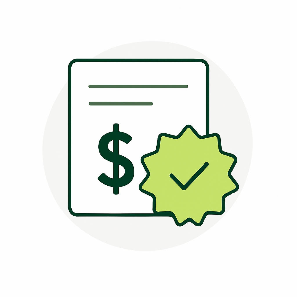
3. Price
See transparent, instant pricing without waiting for quotes
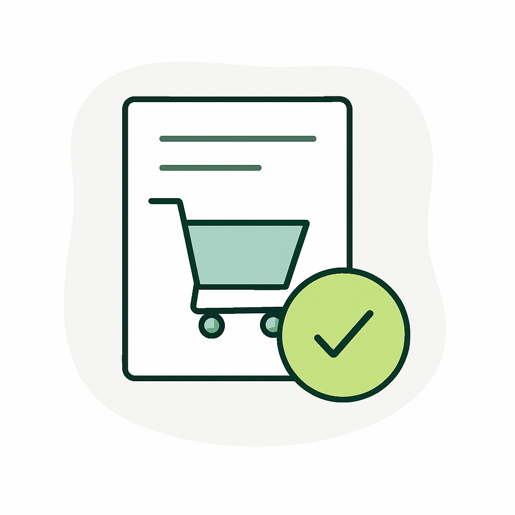
4. Order
Complete your purchase with a few clicks, no complicated contracts
5. Processing
Our research-backed algorithms & models optimise your imagery for clarity and accuracy
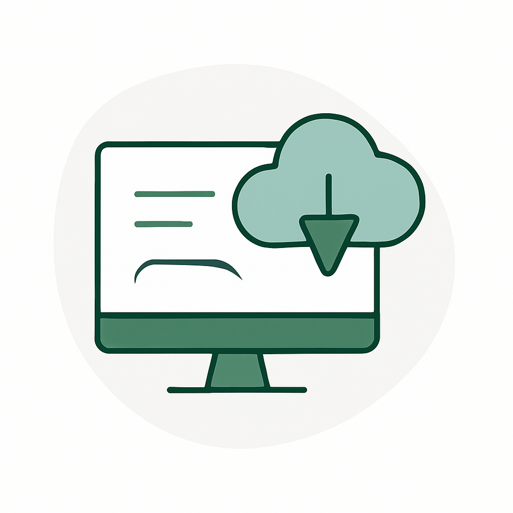
6. Delivery
Access your ready-to-use data through our secure platform via download or streaming

Products
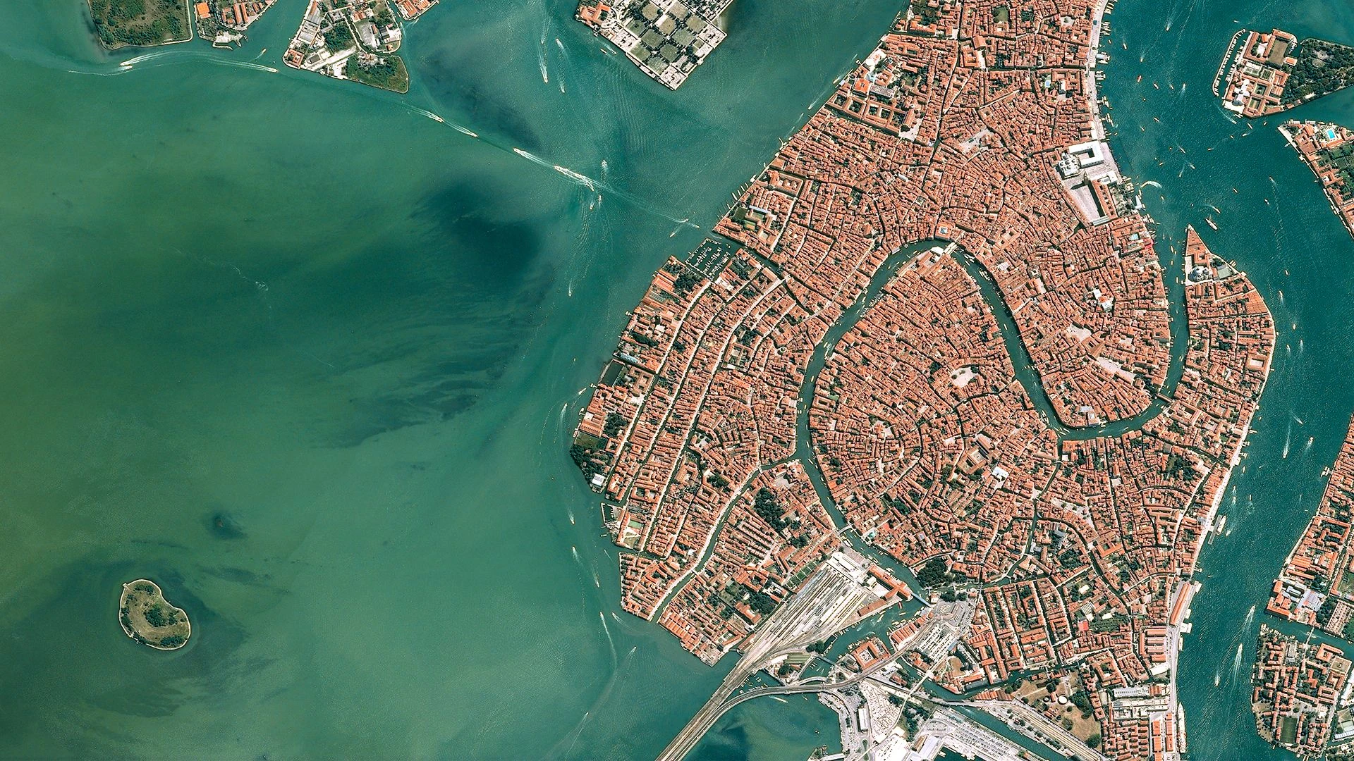
High Resolution Imagery
Task a satellite to capture your area of interest in just a few clicks, set up recurring monitoring, and purchase archive imagery from our vast archive of data.
Pera Portal
Transform raw images and datasets into vital insights. Our platform delivers best in class tools like object detection, hyperspectral signature analysis, and commodity stockpile measurement, empowering you to optimize operations and strategic planning.
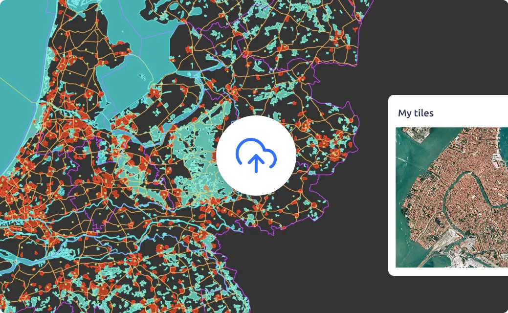
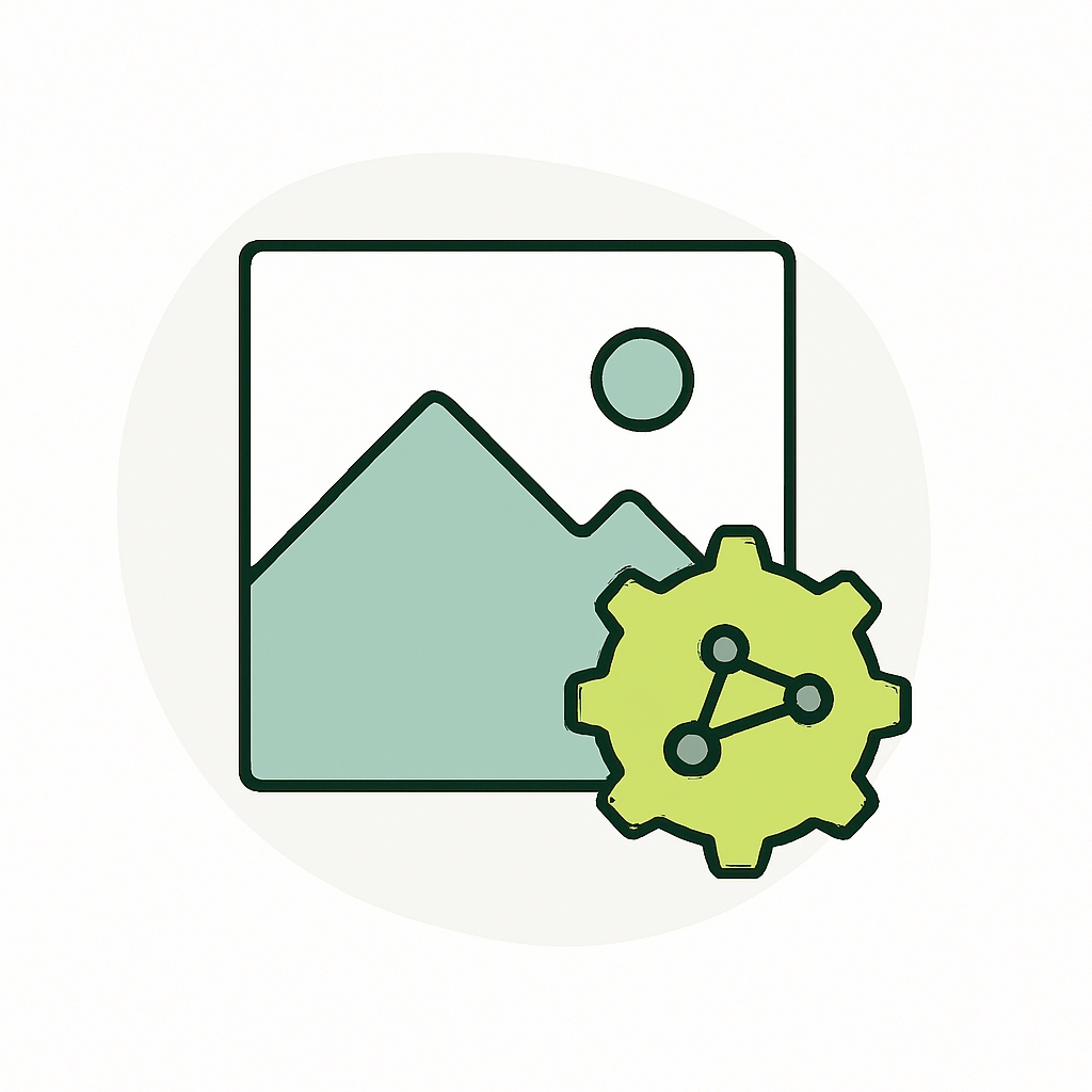
Image Hosting
Discover how Geopera simplifies GIS data management with secure hosting and instant WMTS streaming. Access your geospatial data through our global network while maintaining enterprise-grade security, all with automatic endpoint creation and optimized memory usage.
The only platform you need to access high quality satellite data
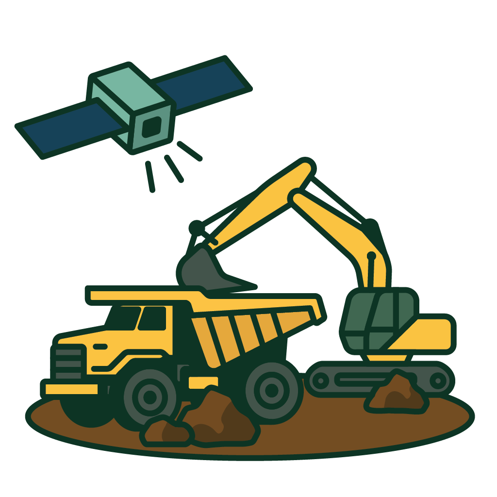
Geopera is the go-to satellite imagery marketplace for mining
Find, order, and manage satellite imagery for your mining operations with Geopera's streamlined platform.
- Transparent Ordering: Get instant pricing eliminating quote wait times
- Order Tracking: Built in tracking to easily manage and monitor all your imagery captures in one location
- Reduce Duplicate Purchases: Maximise ROI with centralized imagery access across all departments


Let us show you how good satellite data can be
Explore our products or get in touch with our team to find the perfect solution for your geospatial needs.