
WorldView 3
WorldView-3 is an imaging and environment-monitoring satellite from Maxar of the United States which launched on 13 August 2014 and remains operational. It is very similar to WorldView-2 but positioned in a lower orbit.
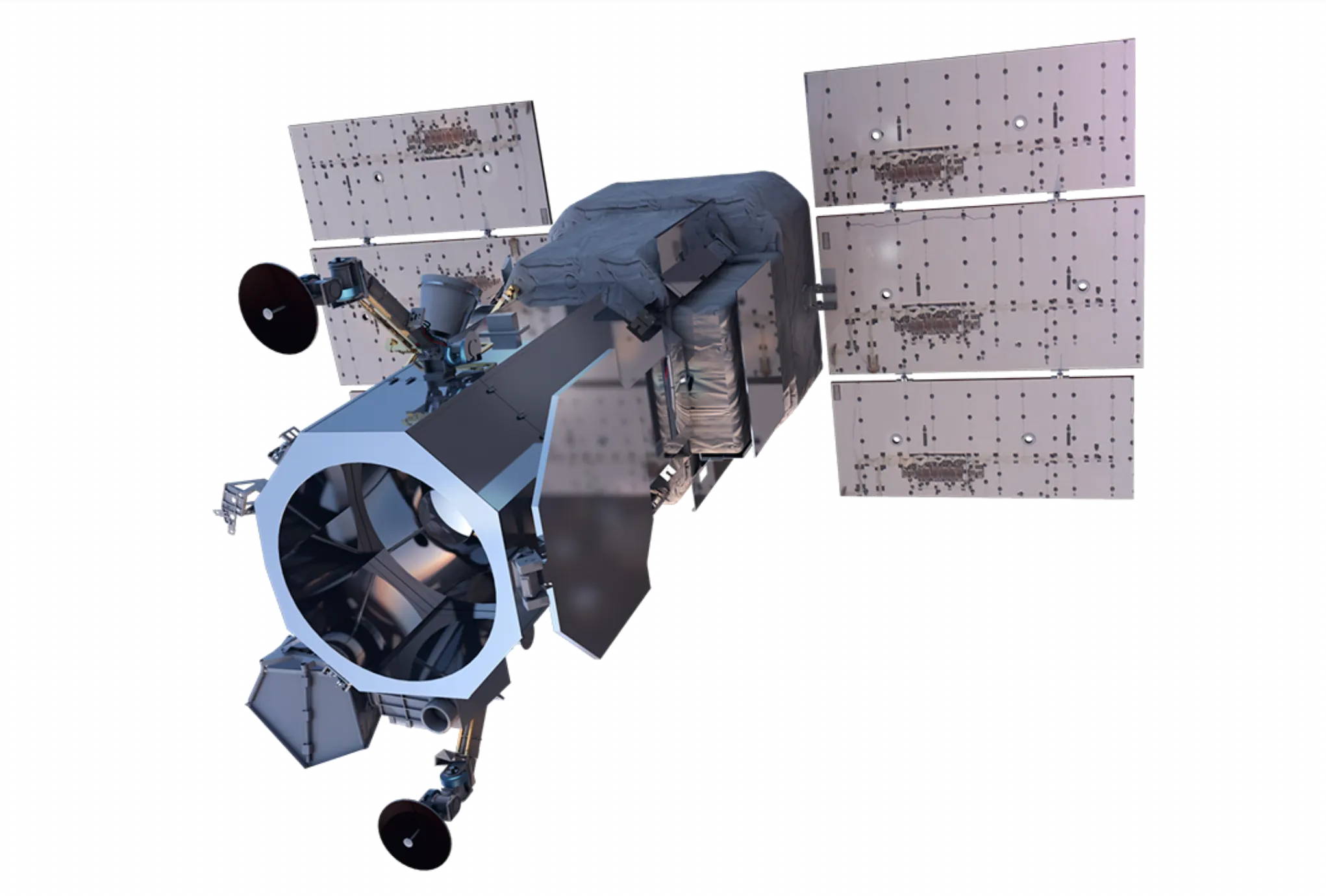
Technical specifications
What you can do with WorldView 3
Detail at 30cm GSD
At 30cm GSD, vehicles, road markings and individual roof structures stay separable. The panchromatic band carries that geometry, and the 1.2m GSD multispectral bands are pansharpened against it, so colour products hold the same detail.
Bands past red, green and blue
Alongside blue, green, red and near-infrared, this sensor collects a coastal band, a yellow band, a red edge band and a second near-infrared band. The coastal band reaches furthest into water, which is what shallow-water depth and water-quality work reads. The red edge sits on the step where vegetation reflectance climbs, so stress registers there before true colour shows it.
Shortwave infrared
8 shortwave infrared bands at 3.7m reach past the visible and near-infrared. Moisture, mineralogy and material type drive the signal at those wavelengths, not colour.
One satellite collecting
Collection rests on a single spacecraft, so opportunities arrive on its orbit rather than on demand. As stated by the supplier: 680,000 km² per day of collection capacity. A large area of interest competes for that capacity with everything else in the queue.