
SuperView Neo
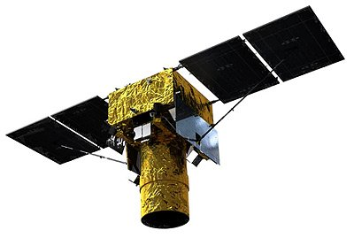
SuperView Neo, launched in 2022, is a high-resolution Earth observation satellite providing both panchromatic and multispectral imagery.
Technical specifications
What you can do with SuperView Neo
Detail at 30cm GSD
At 30cm GSD, vehicles, road markings and individual roof structures stay separable. The panchromatic band carries that geometry, and the 1.2m GSD multispectral bands are pansharpened against it, so colour products hold the same detail.
Standard index bands
Blue, green, red and near-infrared cover the everyday products: true colour, colour infrared, and the indices built from red and near-infrared (NDVI) or green and near-infrared (NDWI). Those index rasters carry the 1.2m GSD multispectral sampling, not the 30cm GSD panchromatic figure.
2 satellites collecting
2 satellites fly this specification, so there are more chances of a usable pass inside a tasking window and a deeper archive to search before anything is tasked. As stated by the supplier: 300,000 km² per day of collection capacity. A large area of interest competes for that capacity with everything else in the queue.
Stereo for elevation
Stereo pairs are collectable, so elevation comes out of the imagery itself instead of a global model: building heights, stockpile and pit surfaces, the shape of structures on the site you ordered.