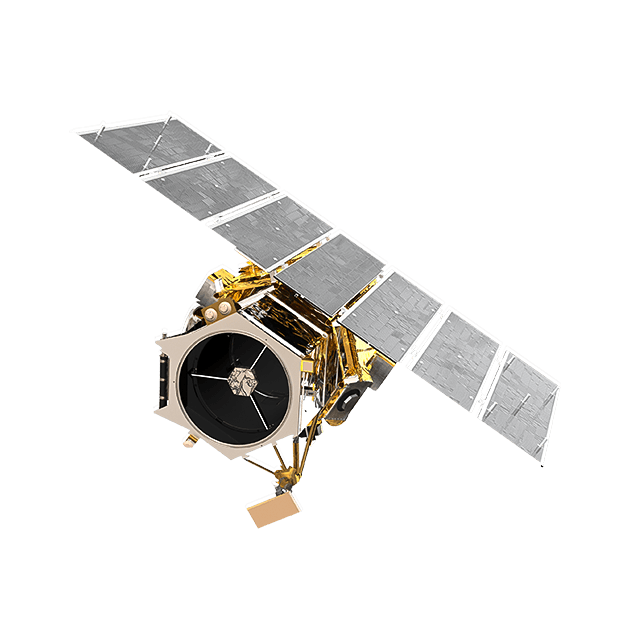
GeoEye-1
GeoEye-1, which was launched in 2008, is a satellite that captures panchromatic and multispectral imagery for a variety of purposes.
Technical Specifications
Provider MAXAR
Resolution
Panchromatic: 50cm GSD
Multispectral: 2m GSD
Swath width 16.4km at nadir
Accuracy 1m with suitable ground control
Bands
panchromatic: 450-800 nm
blue: 450-510 nm
green: 510-580 nm
red: 655-690 nm
nearIR: 780-920 nm
Stereo available Yes
Coverage 350,000 km² per day
Altitude 681 km
Dynamic Range 11 bits
Orbit Type Sun-synchronous
Features and Benefits
Frequent revisits
Multiple satellites in orbit ensure frequent coverage of your area of interest.
Multiple band options
Versatile spectral bands for various applications and analysis needs.
High accuracy
Precise geolocation accuracy for reliable mapping and analysis.