
Gaofen-1
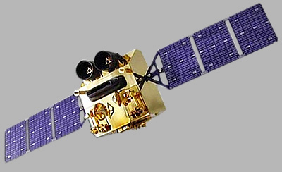
Gaofen-1 constellation consists of four satellites (GF-1, GF-1B, GF-1C, GF-1D) providing Earth observation capabilities with both panchromatic and multispectral imaging.
Technical specifications
What you can do with Gaofen-1
Detail at 2m GSD
At 2m GSD, blocks, parcels, infrastructure corridors and crop units read clearly, while individual vehicles do not. The panchromatic band carries that geometry, and the 8m GSD multispectral bands are pansharpened against it, so colour products hold the same detail.
Standard index bands
Blue, green, red and near-infrared cover the everyday products: true colour, colour infrared, and the indices built from red and near-infrared (NDVI) or green and near-infrared (NDWI). Those index rasters carry the 8m GSD multispectral sampling, not the 2m GSD panchromatic figure.
4 satellites collecting
4 satellites fly this specification, so there are more chances of a usable pass inside a tasking window and a deeper archive to search before anything is tasked. As stated by the supplier: 4 days revisit. That is the cadence to plan against; a cloud-free result usually takes more than one opportunity.
Wide strips
The swath is 60km at nadir, so a large area of interest is covered in few strips. Fewer strips means fewer joins to match, and less time spread across one delivery.